Šventoji River (Baltic) — Infobox River | river name = Šventoji, Sventāja caption = origin = Skuodas district, Lithuania mouth = Baltic Sea basin countries = Lithuania, Latvia length = 73 km elevation = discharge = 5.38 m³/s watershed = 472 km² The Šventoji or Latvian… … Wikipedia
Šventoji — (literally: feminine gender of the holy ) can refer to these objects in Lithuania:*Šventoji River, 246 km length tributary of Neris *Šventoji River (Baltic), 73 km length tributary of the Baltic Sea *Šventoji, Lithuania, resort town on the coast… … Wikipedia
Šventoji, Lithuania — Infobox Settlement official name = Šventoji image shield = image caption = A restaurant in Šventoji pushpin pushpin map caption = Location of Šventoji pushpin label position = latd=56|latm=1|lats=31|latNS=N|longd=21|longm=4|longs=54|longEW=E… … Wikipedia
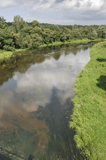
Širvinta River — Infobox River river name = Širvinta River caption = Širvinta River near Upninkai origin = 9 km northeast of Paberžė mouth = Šventoji River basin countries = Lithuania length = 129 km elevation = mouth elevation = discharge = 7.5 m³/s watershed =… … Wikipedia
Nevėžis River — For other uses, see Nevėžis (disambiguation). Nevėžis River Map of Nevėžis Origin Lithuania Mouth Ne … Wikipedia
Kitesurfing locations — Essentially any locale with consistent, steady side onshore winds (10 to 35+ knots, 5 to 18+ m/s), large open bodies of water and good launch areas are suitable for kitesurfing. Most kitesurfing takes place along ocean shores, usually off beaches … Wikipedia
Швентойи (приток Вилии) — У этого термина существуют и другие значения, см. Швентойи. Швентойи лит. Šventoji … Википедия
Vepriai — Infobox Settlement subdivision type = Country subdivision name = LTU timezone=EET utc offset=+2 timezone DST=EEST utc offset DST=+3 map caption = Location of Vepriai leader title = postal code type = official name = Vepriai nickname = image… … Wikipedia
Kavarskas — Infobox Settlement name = Kavarskas nickname = settlement type = City pushpin pushpin label position = pushpin map caption =Location of Kavarskas image shield = LIT Kowarsk COA.jpg latd=55|latm=26|lats=0|latNS=N|longd=24|longm=55|longs=0|longEW=E … Wikipedia
Zarasai district municipality — is one of 60 municipalities in Lithuania. It borders with Latvia and Belarus. 30% of the territory is covered by forests (about 65% of those are pine forests), about 10% by lakes. The district has about 300 lakes. The most famous lake is Lake… … Wikipedia