- McNee Ranch State Park
-
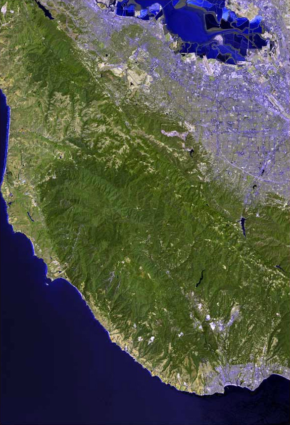
McNee Ranch State Park is located in the Santa Cruz Mountains of the United States, near the unincorporated community of Montara, California in San Mateo County. Its highest point rises to 1,898 feet above sea level. An unpaved fire road, the North Peak Access Road, accessible from the Pedro Mountain Road, provides access to the summit by hikers. The mountain has an extensive biodiversity especially on the serpentine soils of the lower slopes where such endangered species as Hickman's potentilla and San Mateo thornmint, Acanthomintha duttonii, are found. On rare occasions light snow has dusted the summit. On clear days the summit provides spectacular views of much of the San Francisco Bay Area.[1]
The ranch is part of Montara State Beach.
References
- ^ Text from Wikipedia article on Montara Mountain.
External links
- General Information
- Hiking Information
- Photos of Hikes
- Official California State Parks web site for Montara Beach
Santa Cruz Mountains Peaks Black Mountain · Loma Prieta · Long Ridge · Montara Mountain · Mount Bielawski · Mount Thayer · Mount Umunhum · San Bruno Mountain · Santa Teresa Hills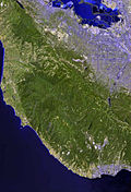
Rivers and creeks Adobe Creek · Bean Creek · Branciforte Creek · Butano Creek · Carbonera Creek · Guadalupe River · Little Boulder Creek · Loch Lomond · Los Alamitos Creek · Los Gatos Creek · Naples Creek · Permanente Creek · Pescadero Creek · Peters Creek · Pilarcitos Creek · San Bruno Creek · San Francisquito Creek · San Lorenzo River · San Pedro Creek · San Vicente Creek · Stevens Creek · Tip Toe Falls · Uvas Creek · Waddell Creek · Waterman Creek · Zayante CreekParks Hiking trails Other Coordinates: 37°33′31″N 122°30′03″W / 37.55861°N 122.50083°W
Categories:- California state parks
- San Francisco Bay Area beaches
- Parks in San Mateo County, California
- Santa Cruz Mountains
- San Mateo County, California geography stubs
Wikimedia Foundation. 2010.