- Likoma Island
Infobox Islands
name = Likoma Island

image caption = View ofLake Malawi
image size =
locator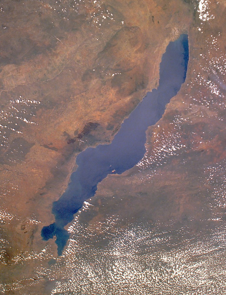
native name =
native name link =
nickname =
location =Lake Malawi
coordinates =
archipelago = Likoma Islands
total islands = 2
major islands = Likoma,Chizumulu Island
area = 18 km²
highest mount =
elevation =
country = Malawi
country admin divisions title = Region
country admin divisions = Northern Region
country admin divisions title 1 = District
country admin divisions 1 = Likoma
country admin divisions title 2 =
country admin divisions 2 =
country capital city = Likoma
country largest city = Likoma
country largest city population =
country leader title =
country leader name =
population = 9,000
population as of =
density =
ethnic groups =
additional info =Likoma Island is the larger of two inhabited islands in Lake Nyasa (as known in Malawi but known elsewhere as
Lake Malawi ) the smaller being the nearbyChizumulu island which together make up theLikoma District . Both these islands lie just a few kilometres fromMozambique , and are entirely surrounded by Mozambicanterritorial waters , but belong toMalawi . They are thereforeexclave s of Malawi. This came about because the islands were colonised byAnglican missionaries spreading east from Malawi, rather than by the Portuguese who colonised Mozambique.Likoma is serviced by an airstrip and can be reached by plane from
Lilongwe or by steamer from the port of Nkhata Bay on the mainland of Malawi. Smaller boats includingdhow s cross thestrait between Likoma and Chizumulu, and also between Likoma andCobwe in Mozambique.The island supports a population of about 9,000 people. Their economic activities include fishing and some agriculture. The island must import most of its food, however. There is
electricity on the island, but only until 10pm when it is usually switched off to save generator fuel. There are several unpaved roads running a handful of cars, but walking is the only practical transport. A notable feature of the island is itscathedral in the main town, which is built of stone and is of considerable size. Its construction began in 1903. There is a hotel on the island called Kaya Mawa as well as a backpackers hostel called Mango Drift. Mango Drift is a beautiful place however if you want to see the island it is a very long walk from anything. There are a few clean and comfortable guesthouses in the main town of Mbamba.The island is covered mostly by grassland, but has large numbers of
baobab trees.Mango trees are also present. [cite web|url=http://www.go2africa.com/malawi/central-lakeshore/likoma-island/|title=Likoma Island|accessdate=3, 3, 2007]References
Wikimedia Foundation. 2010.