- Miller Field (Staten Island, New York)
-
Miller Army Air Field Historic District
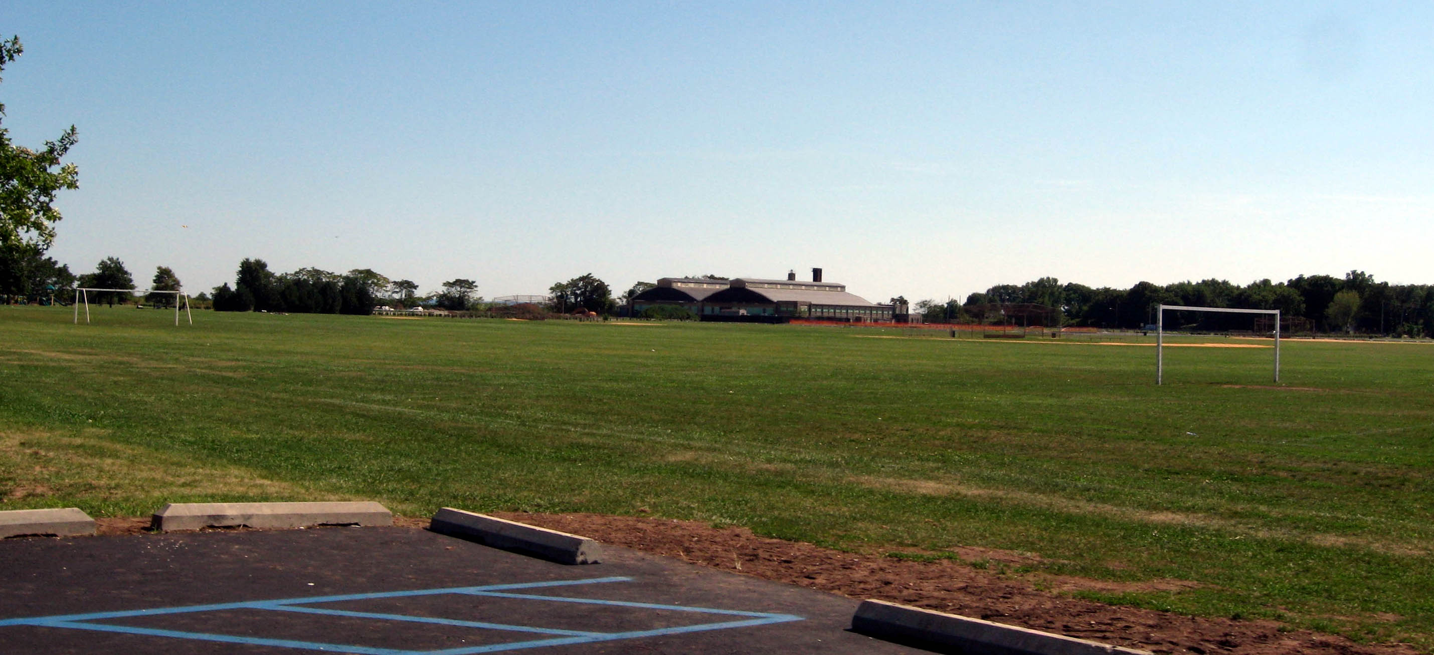
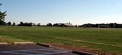 Playing field
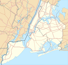

Location: New Dorp, Staten Island, New York, New York Coordinates: 40°33′51″N 74°5′44″W / 40.56417°N 74.09556°WCoordinates: 40°33′51″N 74°5′44″W / 40.56417°N 74.09556°W Built: 1919 Architect: U.S. Army Architectural style: No Style Listed Governing body: National Park Service NRHP Reference#: 80000362
[1]Added to NRHP: April 11, 1980 Miller Field was a United States Air Force facility on Staten Island, New York, in New Dorp. It was founded in November 1919 and completed in 1921. It was named after James Ely Miller, a captain of the 95th Aero Squadron in the Air Force, who died in combat on March 10, 1918 over Rheims in World War I and was the first United States aviator killed in the war that was serving with an American military aviation unit.
When built, Miller Field was the only coastal defense air station in the eastern United States and was part of the network of fortifications around New York City. It was built on land formerly belonging to the Vanderbilt family.
It had a grass runway (and was the last airport with a grass runway in New York City), ramps for seaplanes, and four hangars for planes. Miller Field was used for antiaircraft fire and training Coast Guard personnel. Miller Field closed as an airbase in 1969, and is now part of the Gateway National Recreation Area.
The Field was the site of the Elm Tree Beacon Light, a lighthouse from the 19th century through 1924 when it was abandoned. The light had replaced a landmark elm tree.
On December 16, 1960 a United Airlines Douglas DC-8 and a Trans World Airlines Lockheed Super Constellation collided just west of the field with the Constellation crashing into the northwest corner of the airport while the DC8 crashed into Park Slope Brooklyn. 135 were killed. The 1960 New York air disaster was the worst airline disaster to that point.
The Miller Army Air Field Historic District is now on the National Register of Historic Places.
Currently the field is also in use as a local park, with baseball and soccer fields. It hosts the Staten Island Philharmonic Orchestra in the summer. The field is directly east of New Dorp High School.
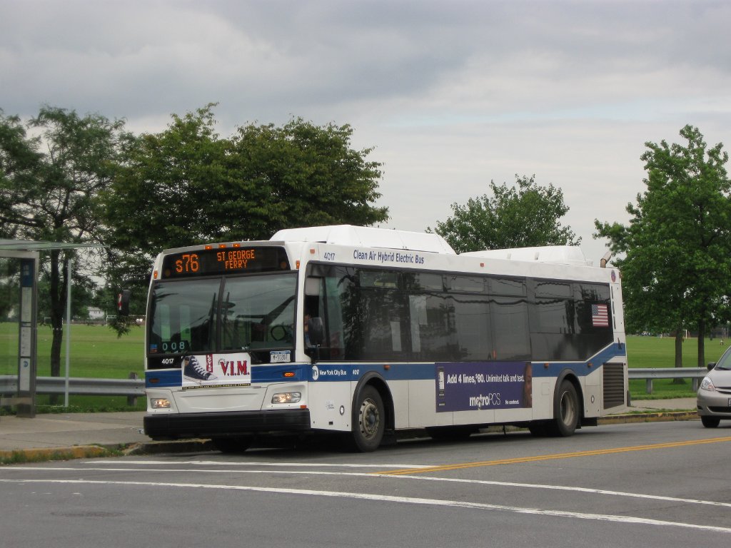
 MTA New York City Bus #4017 on the S76 route in New Dorp running along Miller Field.
References
- ^ "National Register Information System". National Register of Historic Places. National Park Service. 2008-04-15. http://nrhp.focus.nps.gov/natreg/docs/All_Data.html.
External links
- Official National Park Service website
- Historic Miller Field website
- List of Air Force fields
- Photos of Miller Field
Categories:- Historic districts in New York City
- Military facilities on the National Register of Historic Places in New York City
- Historic districts in New York
- Defunct airports in New York
- Parks in Staten Island
- New York City Region, New York Registered Historic Place stubs


Wikimedia Foundation. 2010.