- Hampton Roads Bridge-Tunnel
Infobox Bridge
bridge_name=Hampton Roads Bridge-Tunnel
locale=Norfolk, Virginia toHampton, Virginia
carries=4 lanes of I-64/US 60
crosses=Hampton Roads
maint=Virginia Department of Transportation
clearance=14'6"/4.42m (eastbound) 13'6"/4.11m (westbound)
open=November 1 ,1957 (westbound)November 1 ,1976 (eastbound)
design=Composite: Low-levelTrestle , Parallel single-tubeTunnel s, Manmade islands
length=3.5 miles (5.6 km)The Hampton Roads Bridge-Tunnel (HRBT) is the convert|3.5|mi|km|sing=on-long (5.6 km)Hampton Roads crossing for Interstate 64 and U.S. Route 60. It is a four-lane facility comprised ofbridge s, trestles, man-made islands, andtunnels under the main shipping channels forHampton Roads harbor in the southeastern portion ofVirginia in theUnited States .It connects the historic Phoebus area of the independent city of Hampton near
Fort Monroe on theVirginia Peninsula withWilloughby Spit in the city of Norfolk inSouth Hampton Roads , and is part of theHampton Roads Beltway .History
The HRBT has two convert|12|ft|m|sing=on-wide (3.7 m) lanes each way, on separately built
bridge-tunnel structures. The original two-lane structure replaced aferry system and openedNovember 1 ,1957 at a cost of $44 million dollars as a toll facility. The bridge-tunnel was originally signed as State Route 168 and U.S. Route 60. It later received the Interstate 64 designation, and, much later, SR 168 was truncated south of the crossing.The construction of the original HRBT was funded with
toll revenue bond s. The bonds were paid off before a second portion was opened in 1976.The construction of the $95 million second portion of the HRBT was funded as part of the
Interstate Highway System as authorized under the Federal-Aid Highway Act of 1956, as a portion ofI-64 , which means that it was funded with 90% FHWA funds from the Highway Trust Fund and 10% state DOT funds. When the second span was opened to traffic, the tolls were removed from the earlier portion.The I-64 HRBT has two man-made tunnel portal islands, at the place where Hampton Roads flows into the
Chesapeake Bay . The two man-made tunnel portal islands were widened to the west to accommodate the parallel bridge-tunnel project work accomplished between 1972 and 1976.The Hampton Roads Bridge-Tunnel south portal island connects to preexisting land, about 20 acres (8 ha) of land that is the site of
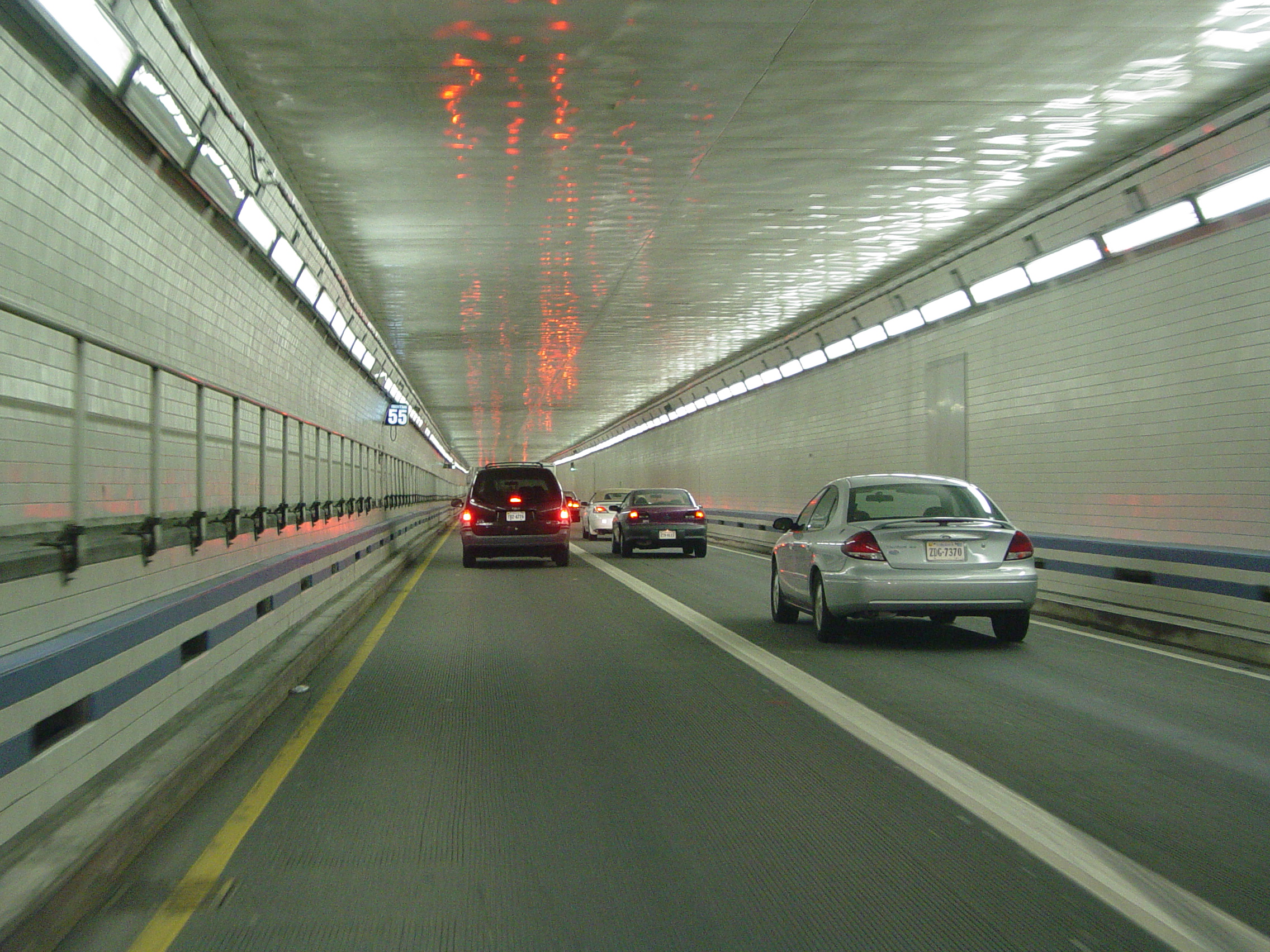
Fort Wool , a fort during theAmerican Civil War ,World War I andWorld War II , and a publicpark since 1970. Fort Wool is on a man-made island known asRip Raps , created in 1818. There is a small earthencauseway that connects Fort Wool to the HRBT south portal island.The current westbound tunnel is the original tunnel constructed in 1957 and has a lower clearance than the newer eastbound tube built in the 1970s--13'6" (4.1 m) as opposed to 14'6" (4.4 m). There have been several accidents and at least one fatality arising from this anomaly. Special over-height detectors have been installed near the
Willoughby Spit end to help prevent future incidents.Given its proximity to the U.S. Navy's Atlantic Fleet home base at
Naval Station Norfolk , many nearby shipyards and critical port facilities, the HRBT design incorporates a tunnel instead of a more cost effectivedrawbridge . A bridge-tunnel, if destroyed in wartime or due to natural disaster, would not block the vital shipping channels.Another four-lane facility, the
Monitor-Merrimac Memorial Bridge-Tunnel (MMMBT) was completed in 1992. The MMMBT provided a second bridge-tunnel crossing of the Hampton Roads harbor, supplementing the Hampton Roads Bridge-Tunnel and providing some traffic relief. The MMMBT also forms part of theHampton Roads Beltway , and is also toll-free.Future plans
According to VDOT, in 1958, an average of 6,000 vehicles a day used the facility. Almost 50 years later, an average of 88,000 vehicles a day were using the crossing, with volumes exceeding 100,000 during the tourist season. [ [http://www.virginiadot.org/travel/hro-tunnel-default.asp Hampton Roads Tunnels and Bridges ] ]
A long range plan to be funded by the
Hampton Roads Transportation Authority (HRTA) would add more lanes to portions of the other major bridge-tunnel across the harbor, the MMMBT (on the western part of the Beltway), and provide direct new access to Norfolk, effectively providing a "third crossing" of Hampton Roads.Some critics of that plan are concerned that the plan may provide little relief to the HRBT. However, as the HRBT has longer tunnel sections, adding additional capacity with new tube(s) would be more costly than many alternatives. Possible solutions suggested to relieve the HRBT include variable tolls to be highest during peak periods, to encourage motorists to select alternate routes or times of day. Enhanced mass transit services may also provide more affordable relief.
ee also
*
List of bridges
*List of tunnels
*List of bridge-tunnels References
External links
* [http://www.roadstothefuture.com/I64_VA_HRBT.html Roads to the Future website]
* [http://www.kurumi.com/roads/3di/ix64.html#664va Kurumi's website about 3 digit interstates connecting with I-64]
* [http://www.virginiadot.org Virginia Department of Transportation]
* [http://terraserver-usa.com/usgsentry.aspx?T=1&S=13&Z=18&X=239&Y=2558&W=3&qs=%7cNewport+News%7cva%7c Aerial photo of Hampton Roads Bridge-Tunnel, from TerraServer]Crossings navbox
structure = Crossings
place = James River /Hampton Roads
bridge = Hampton Roads Bridge-Tunnel
bridge signs =
upstream =Monitor-Merrimac Memorial Bridge-Tunnel
upstream signs =
downstream =Chesapeake Bay
downstream signs =
Wikimedia Foundation. 2010.