- Nurney, County Kildare
-
For the village of the same name in County Carlow, see Nurney, County Carlow.
Nurney
An Urnaí— Town — Location in Ireland
 Nurney
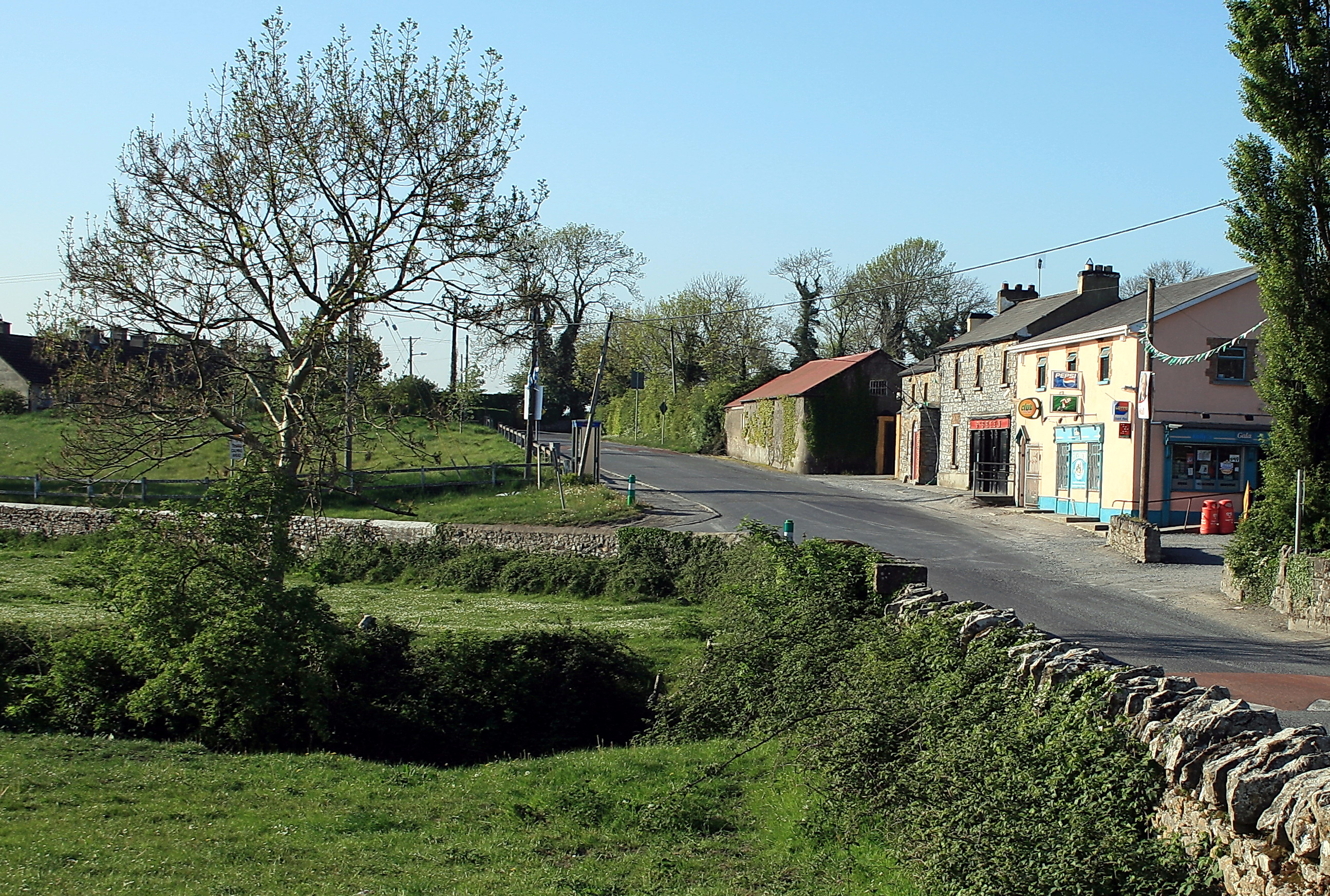
Coordinates: 53°05′42″N 6°56′52″W / 53.09494°N 6.94784°WCoordinates: 53°05′42″N 6°56′52″W / 53.09494°N 6.94784°W Country Ireland Province Leinster County County Kildare Elevation 71 m (233 ft) Population (2006) - Urban 354 Time zone WET (UTC+0) - Summer (DST) IST (WEST) (UTC-1) Irish Grid Reference N704056 Nurney (Irish: An Urnaí meaning "Oratory/prayer house/chapel") is a village in County Kildare, Ireland. It lies on the R415 regional road 8 km south of Kildare and is signposted from the M7 motorway at junction 13.
The village has a church, a pub, a school, a shop, and two graveyards.
 Nurney, County Kildare
Contents
Demographics
In 2006, its population was recorded at 354 an increase of 48% from 2002 owing to an influx of settlers from Dublin, which lies some 60 km away.
Sport
- Nurney GAA is the local Gaelic Athletic Association club.
See also
References
- http://www.cso.ie/census/documents/census2006_Table_7_and_12.pdf
- http://www.irelands-directory.com/Carlow/Nurney/Entertainment/Pubs.html
Categories:- Untranslated Irish place names
- Towns and villages in County Kildare
- Ireland geography stubs

Wikimedia Foundation. 2010.