- Wheeling Creek (Ohio)
Geobox River
name = Wheeling Creek
native_name =
other_name =
other_name1 =
image_size = 300
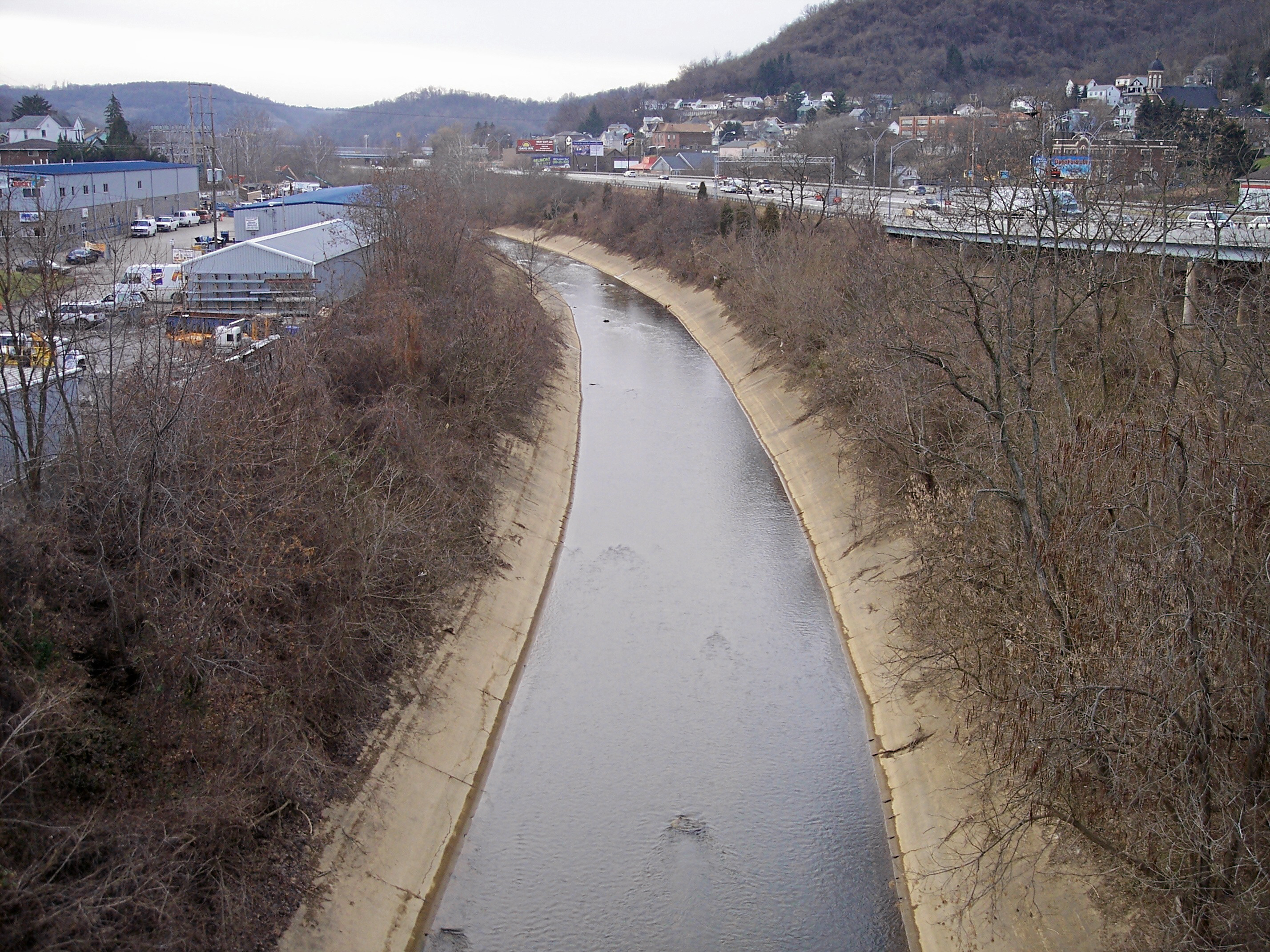
image_caption = Wheeling Creek near its mouth in Bridgeport in 2006
country = United States
state = Ohio
region =
city =
city1 =
length_imperial =
watershed_imperial = 108
watershed_note = [cite web |url=http://www.dnr.state.oh.us/water/watersheds/Basins72PDI_40x40_OnScreen.gif|title=Division of Water: Principal streams and their drainage areas |author= Ohio Department of Natural Resources |year=1999 |accessdate=2007-03-17]
discharge_location = downstream of Blaine
discharge_imperial = 115
discharge_note = cite web |url=http://pubs.usgs.gov/wdr/2005/wdr-oh-05/ |pages = [http://pubs.usgs.gov/wdr/2005/wdr-oh-05/pdf/vol_1/OHwy05vol1_Pt2.pdf Surface-water records, Beaver through Muskingum River Basins (p. 41-77)] |title=USGS Ohio Water Resources Data, Water Year 2005. |first= J. P. |last=Mangus |coauthors=S. R. Frum |publisher=United States Geological Survey |accessdate=2007-06-14]
discharge_max_imperial = 8500
discharge_min_imperial = 7
discharge1_location =
discharge1_imperial =
source_name =
source_location = East of Flushing
source_region =
source_lat_d = 40
source_lat_m = 08
source_lat_s = 57
source_lat_NS = N
source_long_d = 81
source_long_m = 03
source_long_s = 00
source_long_EW = W
source_coordinates_note = cite web |url=Gnis3|1083939 |title=Geographic Names Information System entry for Wheeling Creek (Feature ID #1083939) |author=Geographic Names Information System |authorlink=Geographic Names Information System|accessdate=2007-03-18]
source_elevation_imperial = 1242
source_elevation_note =Google Earth elevation forGNIS coordinates. Retrieved on2007-06-14 .]
source_length_imperial =
mouth_name = Ohio River
mouth_location = Bridgeport
mouth_lat_d = 40
mouth_lat_m = 04
mouth_lat_s = 17
mouth_lat_NS = N
mouth_long_d = 80
mouth_long_m = 44
mouth_long_s = 17
mouth_long_EW = W
mouth_coordinates_note =
mouth_elevation_imperial = 623
mouth_elevation_note =
tributary_left =
tributary_left1 =
tributary_right =
tributary_right1 =
free_name =
free_value =
map_size =
map_caption =:"For the stream in West Virginia, see
Wheeling Creek (West Virginia) ."Wheeling Creek is a
tributary of theOhio River in easternOhio in theUnited States . Via the Ohio River, it is part of the watershed of theMississippi River , draining an area of 108 square miles (280 km²) on the unglaciated portion of theAllegheny Plateau . It flows for its entire length in Belmont County; its tributaries also drain small areas of southeastern Harrison County and southwestern Jefferson County.cite book| title= Ohio Atlas & Gazetteer |year=1991 |publisher=DeLorme |location=Yarmouth, Me. |isbn= 0-89933-233-1 |pages= pp. 62-63]Wheeling Creek rises in Flushing Township just east of the community of Flushing, and flows generally eastwardly through Union, Wheeling, Richland, Colerain, and Pease Townships, past the communities of Lafferty, Bannock, Fairpoint, Maynard, Barton, Blaine, Lansing, and Brookside, to Bridgeport, where it flows into the Ohio River from the west, just upstream of the mouth of
West Virginia 's Wheeling Creek on the opposite bank. TheNational Road (U.S. Route 40 ) parallels the stream between Bridgeport and Blaine.Flow rate
The
United States Geological Survey operates astream gauge on the creek downstream of Blaine, 4.8 miles (7.7 km) upstream of the creek's mouth. Between 1984 and 2005, the annual mean flow of the creek at the gauge was 115cubic feet per second (3 m³/s). The creek's highest flow during the period was 8,500 ft³/s (241 m³/s) onSeptember 17 ,2004 . The lowest recorded flow was 7 ft³/s (0 m³/s) onSeptember 21 ,1985 .Variant names
According to the
Geographic Names Information System , Wheeling Creek has also been known historically as:
*Indian Wheeling Creek
*Scalp Creek
*Spit Head Creek
*Spithead Creekee also
*
List of rivers in Ohio References
External links
* [http://waterdata.usgs.gov/nwis/uv?03111548 USGS Real-Time Water Data for Wheeling Creek below Blaine]
Wikimedia Foundation. 2010.