- Innerdalstårnet
-
Innerdalstårnet Dalatårnet 
Innerdalstårnet seen from GiklingdalenElevation 1,452 m (4,764 ft) Location Location in Møre og Romsdal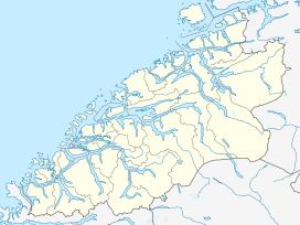
 Innerdalstårnet
Location Sunndal, Møre og Romsdal, Norway Range Trollheimen Coordinates 62°42′19″N 08°47′14″E / 62.70528°N 8.78722°ECoordinates: 62°42′19″N 08°47′14″E / 62.70528°N 8.78722°E Topo map 1420 I Snota and 1420 II Romfo Climbing Easiest route Scrambling 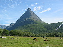 Innerdalstårnet seen from Innerdalen.
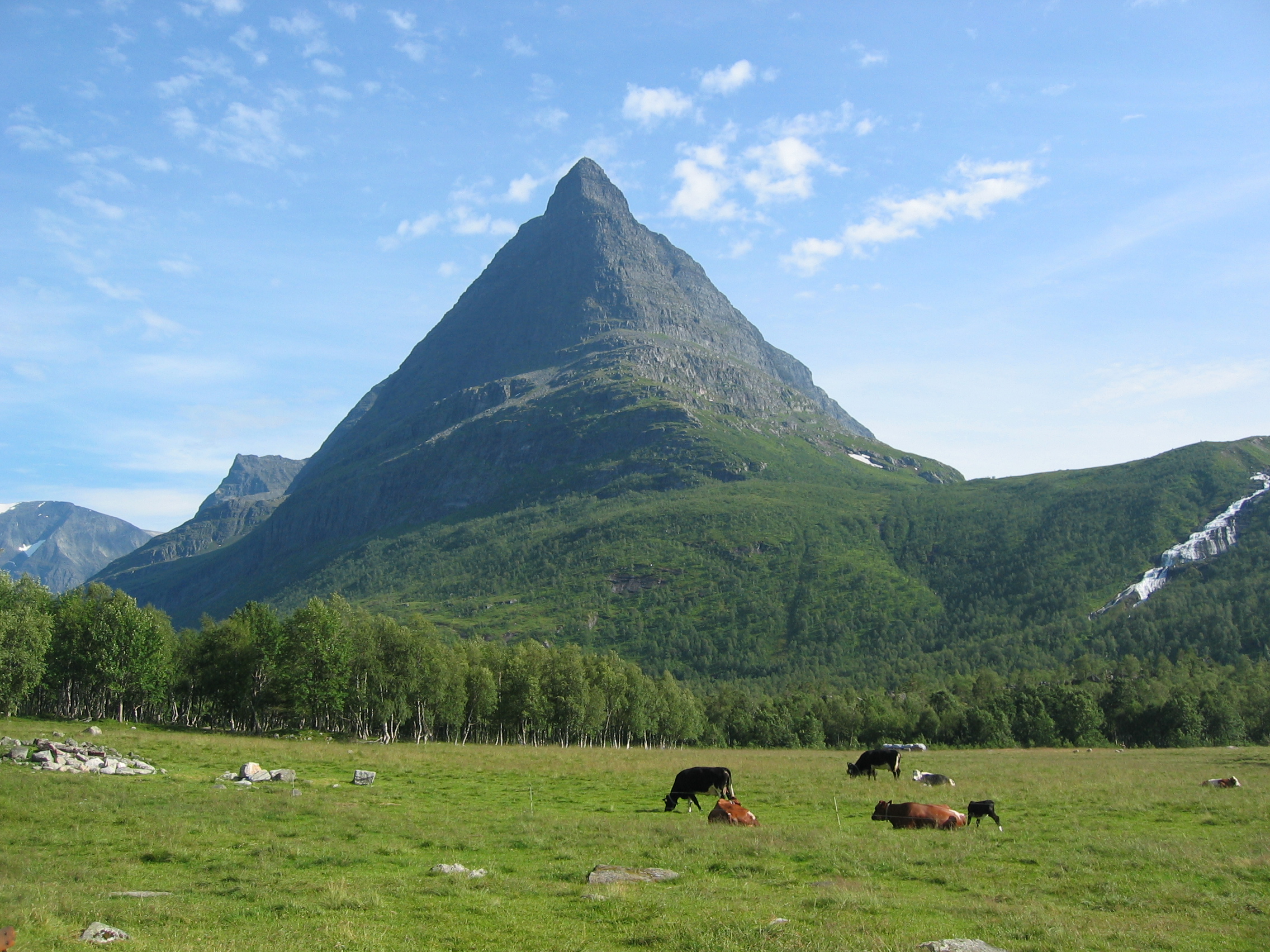
Innerdalstårnet or Dalatårnet is a mountain on the south side of the Innerdalen valley in the municipality of Sunndal in Møre og Romsdal county, Norway. It is also known as the Matterhorn of Norway for its characteristic pyramidal shape.[1]
The summit can be reached with some scrambling, and the mountain is a very popular destination for rock climbing, several routes are established up the mountain[2]
The northern sub-peak, Litle Innerdalstårnet (seen in the picture) is slightly more inaccessible. Directly south of Innerdalstårnet are the mountains Tårnfjellet and Såtbakkollen, which is the second highest in Trollheimen. The mountain Skarfjellet lies just to the west on the other side of the lake Storvatnet.
References
- ^ Store norske leksikon. "Dalatårnet" (in Norwegian). http://www.snl.no/Dalat%C3%A5rnet. Retrieved 2010-12-05.
- ^ Klatrefører for Innerdalen, Norsk Tindeklubb
Categories:- Mountains of Møre og Romsdal
- Sunndal
- Møre og Romsdal geography stubs


Wikimedia Foundation. 2010.