- Cuyamaca Peak
-
Cuyamaca Peak 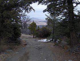
On the Cuyamaca summit looking eastElevation 6,512 ft (1,985 m) [1] Prominence 2,855 ft (870 m) [1] Location Location San Diego County, California, USA Coordinates 32°56′48″N 116°36′23″W / 32.9467149°N 116.6064084°WCoordinates: 32°56′48″N 116°36′23″W / 32.9467149°N 116.6064084°W[2] Topo map USGS Cuyamaca Peak Climbing Easiest route Hike Cuyamaca Peak is a mountain in San Diego County roughly 40 miles (64 km) from the Pacific Ocean, in Cuyamaca Rancho State Park east of San Diego and southwest of Julian. At 6,512 feet (1,985 m), its summit is the second highest point in San Diego County.
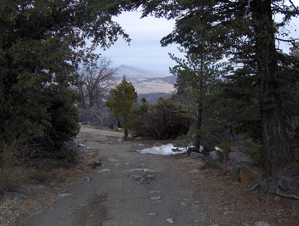
A popular 3.5-mile (5.6 km) year round hike to the summit of Cuyamaca leads from the Paso Picacho Campground, starting at about 5,000 feet (2,000 m).
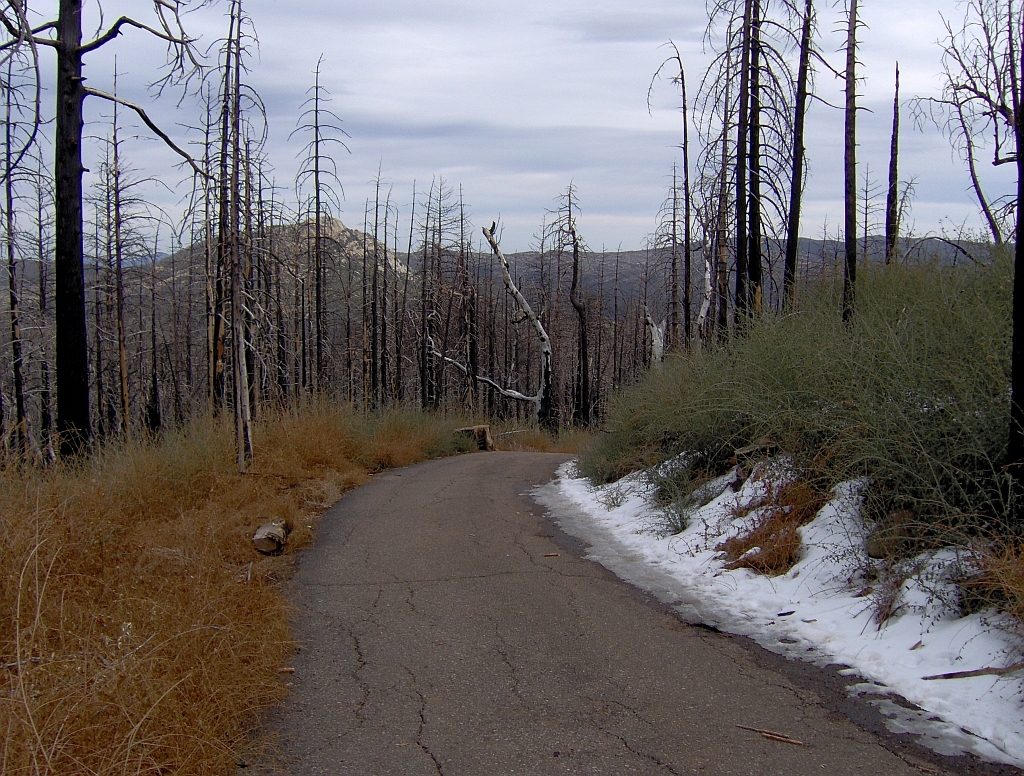
In October 2003, the Cedar Fire, the largest fire in recorded California history, burned the once abundant White Fir, Incense Cedar, Jeffrey Pine, Coulter Pine, Sugar Pine, and Black oak that once lined the mountain.
Snows in winter are common above 5,000 feet (1,500 m) and surrounding regions in Cuyamaca Rancho State Park. During summer, Bracken Ferns, a variety of wildflowers and grasses dominate mountain meadows and the forest floor. Prior to the Cedar Fire Fall Black oaks once lit up the mountain; limited displays can still be seen. Small seedlings of new White fir, Sugar Pine, Coulter Pine, Jeffrey Pine, and Incense Cedar were seen within a year of the Cedar Fire, and were thriving as saplings by 2007.
Contents
Views
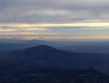 View of the Coronado Islands.
On clear days visibility from the summit of Cuyamaca ranges from 60–100 miles in nearly every direction. To the west, the Pacific Ocean, the Coronado Islands of Mexico, the coast line of San Diego County, Viejas Mountain, and El Cajon Mountain can be seen. Looking north, one can see 6,140-foot (1,870 m) Palomar Mountain among the ridge of Palomar Mountains. On very clear days 8,716-foot (2,657 m) Toro Peak in the Santa Rosas and the San Jacintos are visible. Closer yet is Volcan Mountain slightly to the northeast, the former gold rush town of Julian lying in front. Directly north are the closest summits, Middle and North Peaks. Directly east is the Anza Borrego Desert and the Laguna Mountains, including Whale Peak. Far beyond is the Salton Sea. To the south are Lyons Peak and Lawson Peak; further yet and to the southeast are Mexican border mountains such as Table Top Mountain and the Sierra Juarez.
Precipitation
The significant elevation of Cuyamaca relative to its surrounding landscape catches Pacific moisture easily, forming clouds which are forced to release their moisture in order to pass East, resulting in average annual precipitation between 20 and 32 inches. Fall and Winter storms account for 70%, summer thunderstorms largely accounting for the balance. During the winter snow may fall and hoar frost is common upon the highest elevations.
See also
-
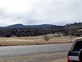
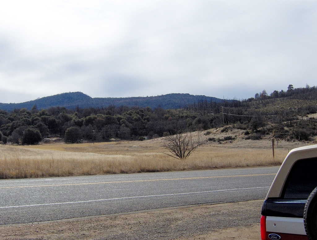
View of Cuyamaca Peak from the east.
-
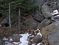
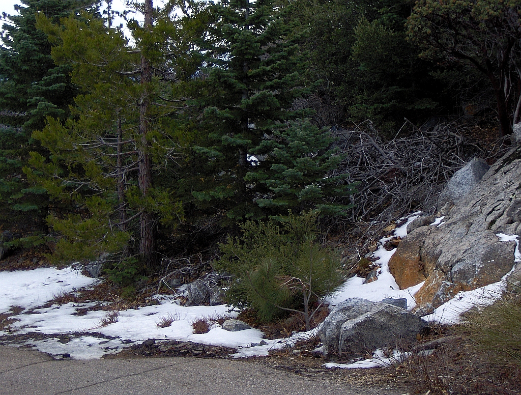
Just down from the Cuyamaca summit.
-

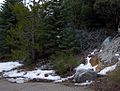
Burned forest on the lower slopes of Cuyamaca.
-
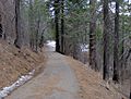
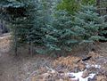
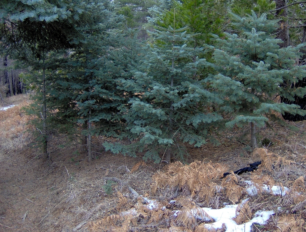
Forest nearing the summit.
-
White Firs near Cuyamaca's summit, deceased Bracken Ferns.
-
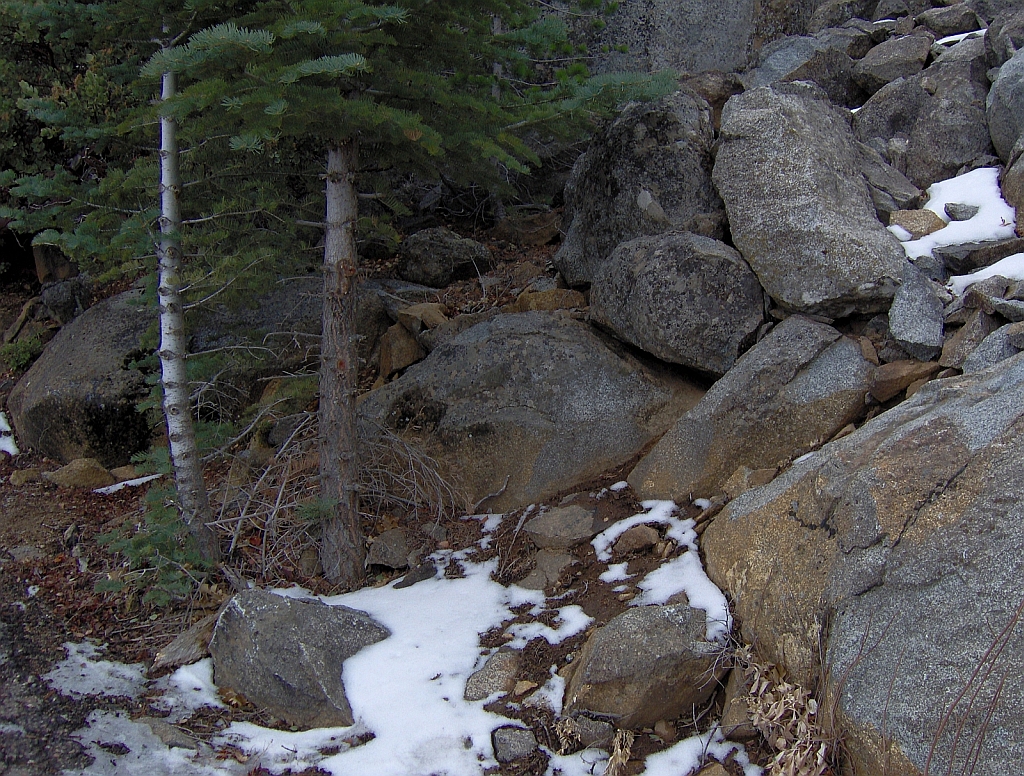
Typical Cuyamaca scene , White Firs, Granite, January snow.
References
- ^ a b "Cuyamaca Peak, California". Peakbagger.com. http://www.peakbagger.com/peak.aspx?pid=1461. Retrieved 2009-01-25.
- ^ "Cuyamaca Peak". Geographic Names Information System, U.S. Geological Survey. http://geonames.usgs.gov/pls/gnispublic/f?p=gnispq:3:::NO::P3_FID:270727. Retrieved 2009-01-25.
External links
- "Cuyamaca Peak". Trails.com. http://www.trails.com/tcatalog_trail.asp?trailid=HGS463-038. Retrieved 2011-05-08.
- "Cuyamaca Rancho State Park". California State Parks. http://www.parks.ca.gov/?page_id=667. Retrieved 2011-05-08.
- "Cuyamaca Peak". Hundred Peaks Section List. Angeles Chapter, Sierra Club. http://angeles.sierraclub.org/hps/guides/32e.htm. Retrieved 2011-05-08.
- "Cuyamaca Peak". SummitPost.org. http://www.summitpost.org/page/151754. Retrieved 2011-05-07.
- "Cuyamaca Webcam". CreekBed Websites. http://creekbed.org/bandh/cam.htm. Retrieved 2011-05-08.
Categories:- Mountains of San Diego County, California
-


Wikimedia Foundation. 2010.