- Mount Ōyama (Kanagawa)
-
Mount Ōyama 
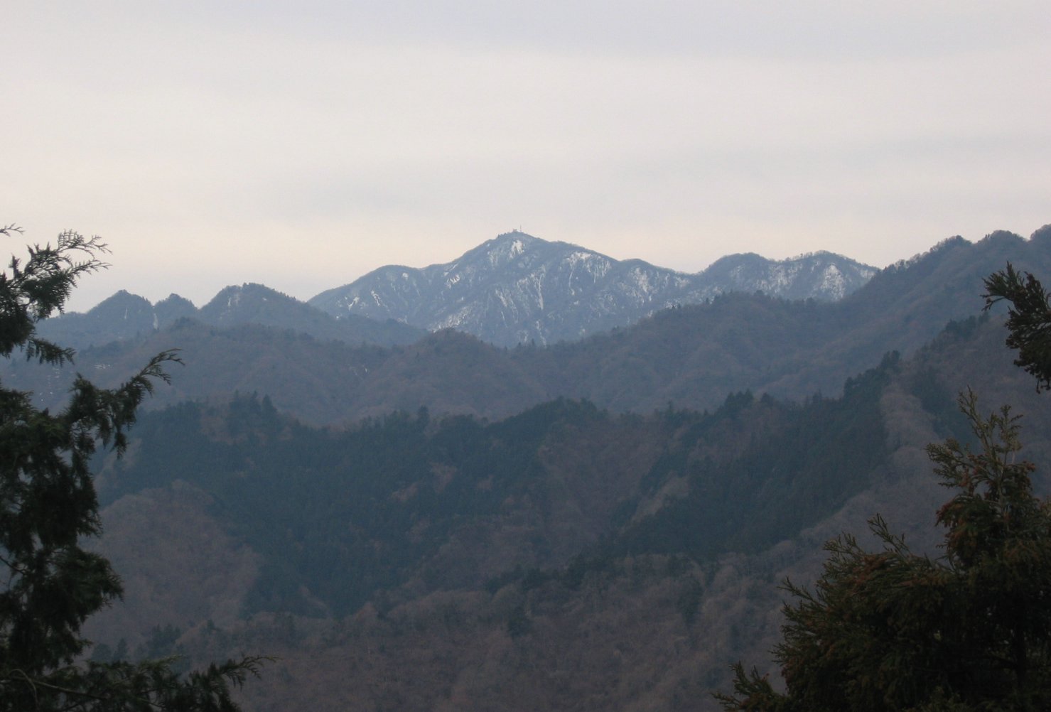
Mount Ōyama seen from around the Ninotō slope (November 2005)Elevation 1,252 m (4,108 ft) Listing List of mountains and hills of Japan by height Translation big mountain
rain mountain
guardian of the land mountain (Japanese)Pronunciation [oːjama]
[aɸuɽijama]
[kunimijama]Location Location Kanagawa Prefecture, Japan Range Tanzawa Mountains Coordinates 35°26′27″N 139°13′52″E / 35.44083°N 139.23111°E Topo map Geographical Survey Institute 25000:1 大山
50000:1 東京Geology Type Volcanic[1] Age of rock Middle Miocene-Late Miocene[1] Volcanic arc/belt Izu-Bonin-Mariana Arc[2] Climbing Easiest route Hike Mount Ōyama (大山 Ō-yama), also Mount Afuri (阿夫利山 or 雨降り山 Afuri-yama) or Mount Kunimi (Kunimi-yama), is a 1,252 metres (4,108 ft) high mountain situated on the border of Isehara, Hadano and Atsugi in Kanagawa Prefecture, Japan. Together with Mount Tanzawa and other mountains in the Tanzawa Mountains it forms the Tanzawa-Ōyama Quasi-National Park. Mount Ōyama is a popular sightseeing spot in Kanagawa Prefecture.
Contents
Geology
The mountain is made from non-alkali mafic rock. The rock is 7-15 million years old.[1] The rock was extruded on the sea floor during the Neogene and then pushed up and onto the island of Honshu when the Izu-Bonin-Mariana Arc collided with the rest of Japan.[2]
Holy mountain
Mount Ōyama has long been regarded as a holy mountain and object of worship.[3] Religiously motivated mountain climbing has been practiced since the Hōreki era (1751–1764) and the various paths leading there were called Ōyama Kaidō (大山街道 Ōyama Kaidō). Today this name survives as the pseudonym of Route 246.
At the top of the mountain is the head office of the Ōyama-Afuri Shrine (大山阿夫利神社 Ō-yama-afuri Jinja). Lower down the mountain is the lower shrine and the Ōyama-dera (大山寺). Afuri refers to the high amount of rain and clouds associated with the mountain.[3] Farmers pray at Ōyama-Afuri Shrine to the rain god.
The mountain is also known as the Guardian of the Land (Kunimi-yama).[3]
Sightseeing
A bus connects Isehara Station on the Odakyu Odawara Line with the cable car station at the foot of the mountain. A narrow road runs directly between the town areas and the cable car station. The cable car starts from next to Ōyama-dera and climbs to the top station. The top station is not far from the lower Afuri Shrine. Hiking from there it takes about 1.5 hours to climb to the top of the mountain.
Tofu and spinning tops are well-known local products. The Ōyama Tofu Festival takes place every March. The Ōyama mountain climbing Marathon also takes place in March between Isehara Station and the lower shrine. The course is over 9 kilometres (5.6 mi) long and includes an altitude difference of over 650 metres (2,130 ft). Possible access points for an ascent are the cable car terminus, the temple Hinatayakushi (日向薬師 hinatayakushi) in Isehara, Minoge (蓑毛 minoge) and the Yabitsu ridge (ヤビツ峠 yabitsu-tōge) in Hadano.
References
- ^ a b c "Southern Kanto". Seamless digital geological map of Japan. Geological Survey of Japan, AIST. May 12, 2007. http://riodb02.ibase.aist.go.jp/db084/kihon/southernKanto_e.xml. Retrieved 2010-10-10.[dead link]
- ^ a b NISHIWAKI, Hirotoshi (2009). "Central Honshu". Introduction to Landforms and Geology of Japan. http://www.glgarcs.net/intro/c_honshu.html. Retrieved 2009-03-27.
- ^ a b c Hunt, Paul (1988). "The Guardian Peaks of the Kanto Plain: Tanzawa 丹沢". Hiking in Japan: An Adventurer's Guide to the Mountain Trails (First Edition ed.). Tokyo, Japan: Kodansha International Ltd.. pp. 129–133. ISBN 0-87011-893-5.
Photo gallery
-
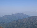
View of Ōyama from the Tennōji (天王寺 tennōji) ridge
-
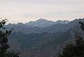
View of Ōyama from half way up Mount Bukka
-

Ōyama from the viewing platform at Mount Bukka
-

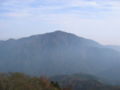
Ōyama from the neighbourhood of Isehara
-
Ōyama from the environs of Ninotō
-
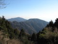
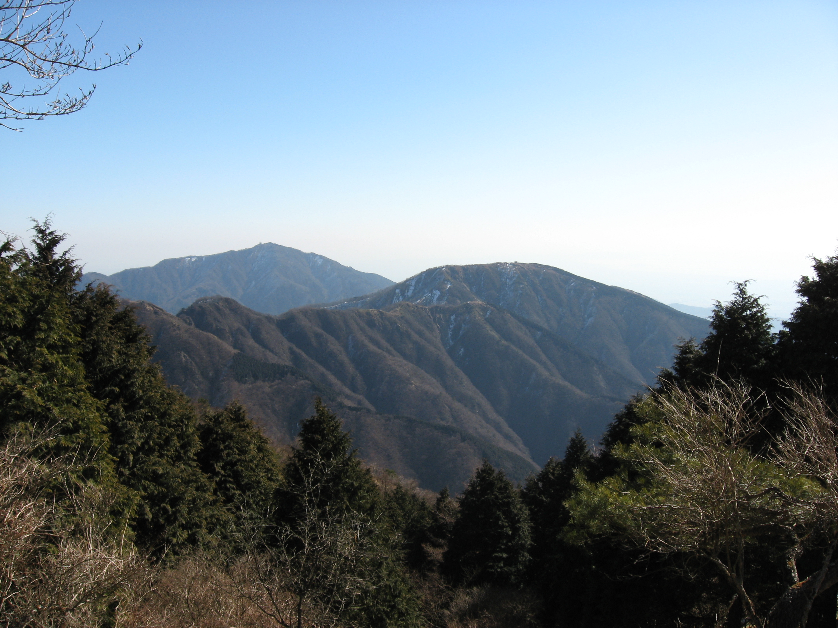
View from the Ōkuraone (大倉尾根 Ōkuraone) ridge at Ōyama (left) and Sannotō (三ノ塔 sannotō) (right)
Categories:- Mountains of Kanagawa Prefecture


Wikimedia Foundation. 2010.