- Dhauli
-
 Shanti Stupa at Dhauligiri
Dhauli (Oriya: ଧଉଳି) hills are located on the banks of the river Daya, 8 km south of Bhubaneswar in Orissa (India). It is a hill with vast open space adjoining it, and has major Edicts of Ashoka engraved on a mass of rock, by the side of the road leading to the summit of the hill. Dhauli hill is presumed to be the area where Kalinga War was fought.[1]
The Rock Edicts found here include Nos. I-X, XIV and two separate Kalinga Edicts. In Kalinga Edict VI, he expresses his concern for the "welfare of the whole world". The rock-cut elephant above the Edicts is the earliest Buddhist sculpture of Orissa. The stone elephant shows the animal's foreparts only, though it has a fine sense of form and movement. It has another significance, which is related to earth in form of an elephant, and to that extent, elephant probably represented the Buddha to devotees.
Ashoka had a special weakness for Dhauli, where the battle was fought. The Daya river is said to have turned red with the blood of the many deceased after the battle, and enabled Ashoka to realize the magnitude of horror associated with war. He saw to it that Dhauli became an important centre of Buddhist activities. He built several chaityas, stupas and pillars there. He got abodes excavated for the recluse, instructions inscribed for officials, expounded the main principles of dandaniti for the public, provided special status to his new kingdom including the stupas at Dhauli.[2]
On the top of the hill, a dazzling white peace pagoda has been built by the Japan Buddha Sangha and the Kalinga Nippon Buddha Sangha in the 1970s.
The nearby region also houses Ashokan edicts and possibly a Stupa at Bhaskareshwar temple at Tankapani road as argued by scholars. The Dhauligiri hills also has an ancient Shiva temple which is the place for mass gathering during Shiva Ratri Celebrations.
Dhauli Giri, Bhubaneswar  Visitors throng the Shanti Stupa at Dhauli giri, Bhubaneswar
 Statue of a lion at the Shanti Stupa at Dhauli looks over the Daya river plains, Bhubaneswar
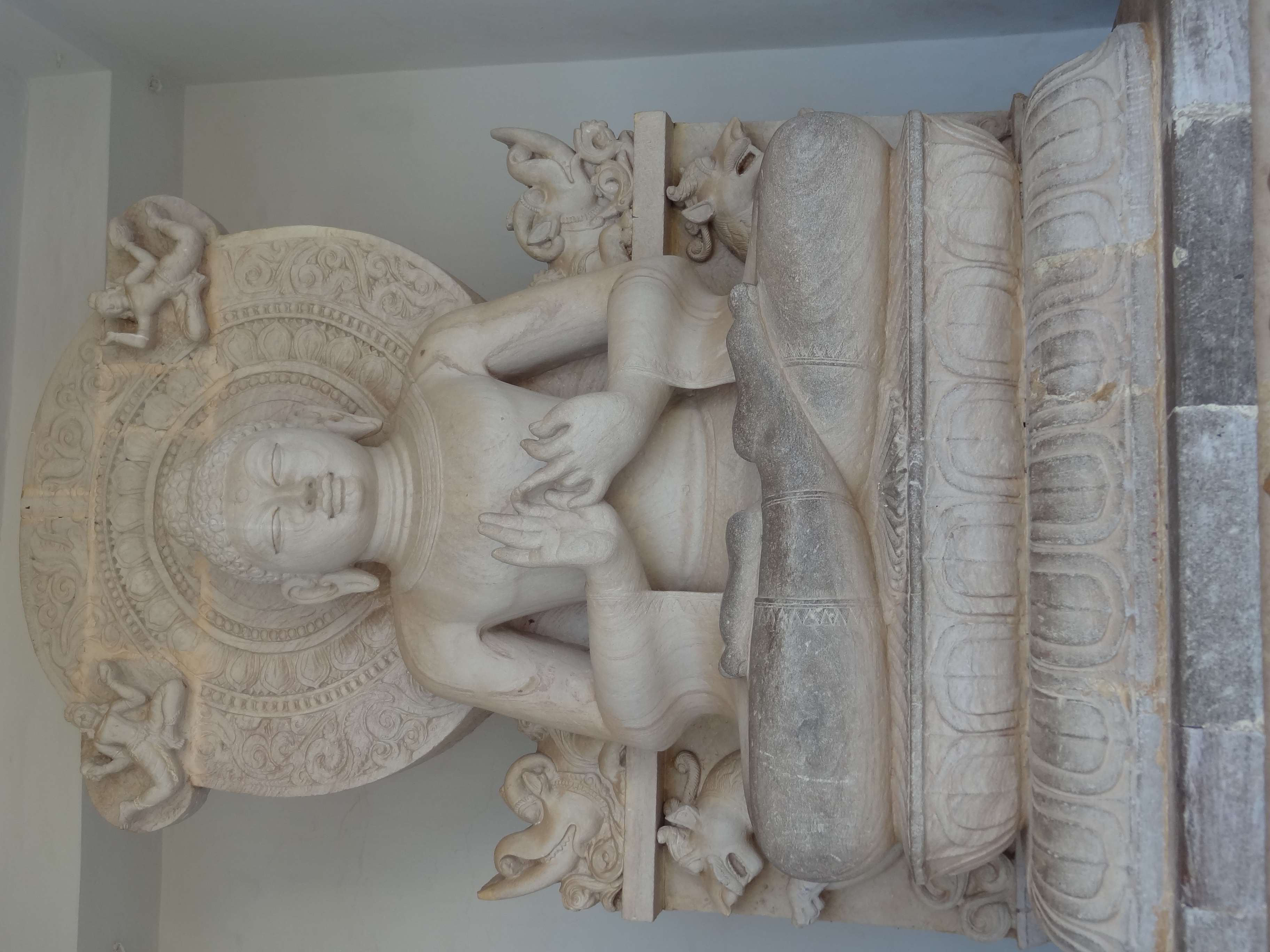
 Buddha statue at Dhauligiri, Bhubaneswar
 Lion Structure at Dhauli at Sunrise
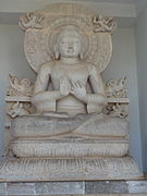
References
- ^ [http://www.indiavideo.org/text/maurya-dynasty-kalinga-war-ashoka-49.php Kalinga War and its impact on Ashoks>
- ^ Dhauli Hills, Bhubaneswar, Orissa
- Sachin Singhal: Orissa tourist road guide and political, Vardhman Publications, ISBN 81-8080-011-3
- Bimalendu Mohanty: Orissa yesterday, today and tomorrow, Nur Publishers Bhubaneswar, India, 2003. ISBN 81-883450-00-8
Coordinates: 20°11′N 85°50′E / 20.183°N 85.833°E
Categories:- Buddhist art and culture
- History of Orissa
- Stupas in India
- Tourism in Orissa
- Buddha statues
- Bhubaneswar
- Visitor attractions in Bhubaneswar
- Archaeological sites in Orissa
- Archaeological monuments in Orissa
- Buddhist sites in Orissa
- Orissa geography stubs
- Buddhism stubs


Wikimedia Foundation. 2010.