- Mississinawa Township, Darke County, Ohio
-
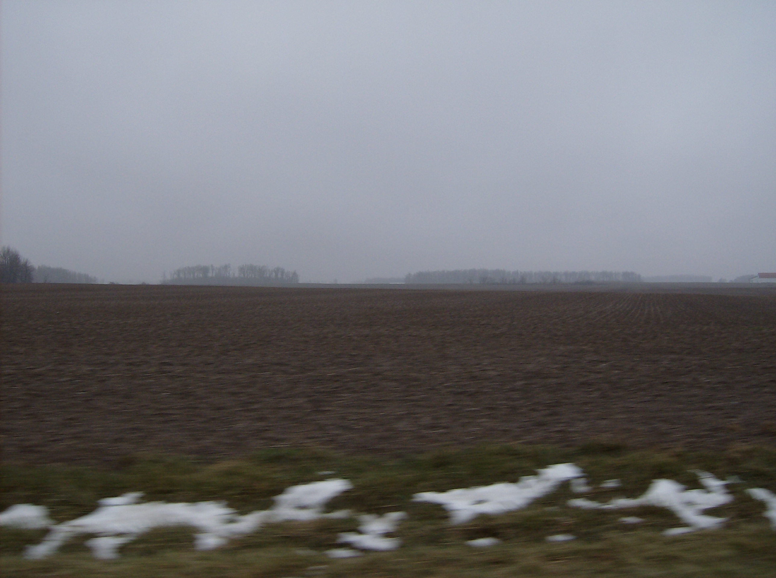
Mississinawa Township, Darke County, Ohio — Township — Fields and woods in Mississinawa Township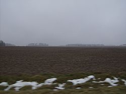 Municipalities and townships of Darke County.
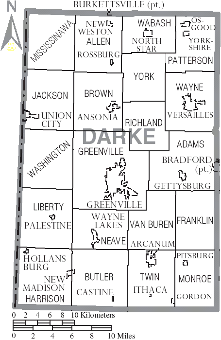
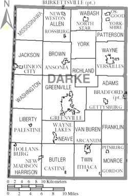
Coordinates: 40°18′46″N 84°45′7″W / 40.31278°N 84.75194°WCoordinates: 40°18′46″N 84°45′7″W / 40.31278°N 84.75194°W Country United States State Ohio County Darke Area – Total 29.4 sq mi (76.0 km2) – Land 29.4 sq mi (76.0 km2) – Water 0.0 sq mi (0.0 km2) Elevation[1] 1,060 ft (323 m) Population (2000) – Total 779 – Density 26.5/sq mi (10.2/km2) Time zone Eastern (EST) (UTC-5) – Summer (DST) EDT (UTC-4) FIPS code 39-50960[2] GNIS feature ID 1086018[1] Mississinawa Township is one of the twenty townships of Darke County, Ohio, United States. The 2000 census found 779 people in the township.[3]
Contents
Geography
Located in the northwestern corner of the county, it borders the following townships:
- Gibson Township, Mercer County - north
- Allen Township - east
- Jackson Township - south
- Jackson Township, Randolph County, Indiana - southwest
- Madison Township, Jay County, Indiana - northwest
No municipalities are located in Mississinawa Township.
Name and history
It is the only Mississinawa Township statewide.[4]
The first settler within the bounds of today's Mississinawa Township was Philip Reprogle, who arrived in 1833. Six years passed before the township's establishment in March of 1839; it was created from a part of Jackson Township. Its borders were later extended northward to include part of Gibson Township when the rest of that township became part of Mercer County. The first church in the township was a Methodist congregation that was established in 1851, while the township's first school was founded at an unknown date.[5]
Government
The township is governed by a three-member board of trustees, who are elected in November of odd-numbered years to a four-year term beginning on the following January 1. Two are elected in the year after the presidential election and one is elected in the year before it. There is also an elected township fiscal officer,[6] who serves a four-year term beginning on April 1 of the year after the election, which is held in November of the year before the presidential election. Vacancies in the fiscal officership or on the board of trustees are filled by the remaining trustees. The current trustees are Roger Fortkamp, Edward Rauh, and Robert Stump, and the clerk is Sharon Fortkamp.[7]
References
- ^ a b "US Board on Geographic Names". United States Geological Survey. 2007-10-25. http://geonames.usgs.gov. Retrieved 2008-01-31.
- ^ "American FactFinder". United States Census Bureau. http://factfinder.census.gov. Retrieved 2008-01-31.
- ^ Darke County, Ohio — Population by Places Estimates Ohio State University, 2007. Accessed 15 May 2007.
- ^ "Detailed map of Ohio" (PDF). United States Census Bureau. 2000. http://www2.census.gov/geo/maps/general_ref/cousub_outline/cen2k_pgsz/oh_cosub.pdf. Retrieved 2007-02-16.
- ^ Wilson, Frazer. History of Darke County Ohio: From Its Earliest Settlement to the Present Time. Vol. 1. Milford: Hobart, 1914, 585.
- ^ §503.24, §505.01, and §507.01 of the Ohio Revised Code. Accessed 4/30/2009.
- ^ Township Trustees. Darke County. Accessed 2007-06-01.
External links
Municipalities and communities of Darke County, Ohio City 
Villages Ansonia | Arcanum | Bradford‡ | Burkettsville‡ | Castine | Gettysburg | Gordon | Hollansburg | Ithaca | New Madison | New Weston | North Star | Osgood | Palestine | Pitsburg | Rossburg | Union City | Versailles | Wayne Lakes | Yorkshire
Townships Unincorporated
communitiesBeamsville | Dawn | Frenchtown | Jaysville | Otterbein | Stelvideo
Footnotes ‡This populated place also has portions in an adjacent county or counties
Categories:- Townships in Darke County, Ohio

Wikimedia Foundation. 2010.