- Nevado del Huila
-
Nevado del Huila 
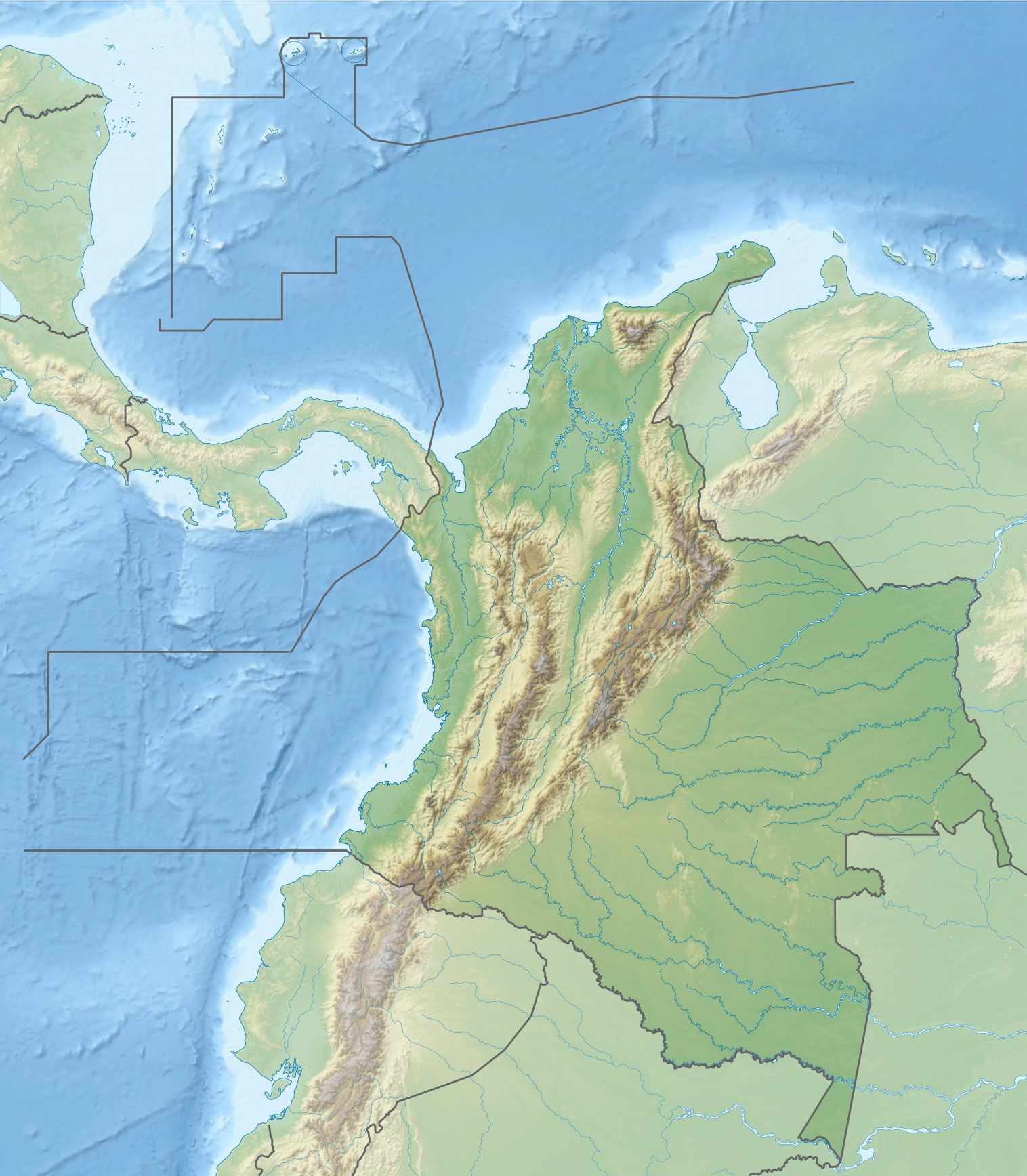
Nevado del Huila as viewed from the southeast in 1993Elevation 5,365 m (17,602 ft) Prominence 2,650 m (8,694 ft) Listing Ultra Location Location within Colombia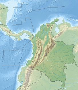
 Nevado del Huila
Location  Colombia
Range Cordillera Central Coordinates 2°56′N 76°2′W / 2.933°N 76.033°WCoordinates: 2°56′N 76°2′W / 2.933°N 76.033°W Geology Type Stratovolcano Volcanic arc/belt Andean Volcanic Belt Last eruption 2011 Nevado del Huila (English pronunciation: /nɛˈvɑːdoʊ dɛl ˈwiːlə/), at 5,365 metres (17,602 ft), is the highest volcano in Colombia,[1] located in Huila Department. After being dormant for more than 500 years, the volcano showed heavy signs of activity in 2007 and 2008. As of February 20, 2007, there were more than 7000 "minor" seismic events, and a high state of alert was in place for the departments of Cauca, Huila, Caldas and Valle del Cauca.[2] The volcano erupted twice in April 2007, once in April 2008 and again in November 2008. Any eruption would affect the small villages around the volcano, mostly Paez, Cauca, where their inhabitants still have in memory the eruption of the Nevado del Ruiz volcano and the destruction of Armero.
Contents
2007 eruption
On April 18, 2007, the volcano erupted twice causing avalanches into the Paez River; this event caused water levels to rise along the Magdalena River. More than 4,000 people were evacuated with no casualties reported.[3][4]
2008 activity and eruption
Nevado del Huila became active again in March 2008. After a multitude of earthquakes inside the volcano, Colombian authorities declared a state of yellow alert on March 18.[5] The state of alert was increased to orange on March 29, meaning an eruption could be expected within two weeks. Hundreds of people were evacuated.[6] On April 14, 2008 at 11:08 pm, an ash eruption took place, prompting the government to issue a red alert and evacuate 13,000 to 15,000 people from around the mountain.[7] The state of red alert was again lowered to orange on April 16, following diminished activity.[8]
November 2008 eruption
On November 20, 2008, the volcano erupted at 02:45 GMT (at 21:45 on November 20 local time) according to Colombian Institute of Geology and Mining.[9] An immediate mass-scale evacuation was put in motion by the Colombian authorities, which the inhabitants of some towns reportedly refused. There were no injured reported at the time.[10] On November 23, 2008, BBC News, citing Colombian authorities, announced that the eruption had claimed ten lives, with 12,000 nearby residents being evacuated and emergency services unable to reach many of the more remote locations.[11] The eruption had triggered an avalanche of earth and debris that damaged houses, bridges and crops on plantations.[12] The three small towns of Paicol, La Plata and Belalcázar along the Paez River were affected by this eruption.[13]
President Álvaro Uribe flew over the affected area after the volcano erupted. Extensive instrumentation of the volcano, put in place by the existing national system for prevention and care of disasters,[14] which includes training of local inhabitants in high-risk regions and deployment of alarms in nearby towns, reportedly prevented large scale deaths.[9] President Álvaro Uribe ordered the Air Force of Colombia to create an "air bridge" to provide supplies for cut off towns along the Paez River.[15]
References
- ^ "Global Volcanism Program | Nevado del Huila | Summary". http://www.volcano.si.edu/world/volcano.cfm?vnum=1501-05=. Retrieved 2008-11-23.
- ^ (Spanish) Reducción de actividad sísmica de Nevado del Huila aligera estado de emergencia en zonas cercanas, El Tiempo, February 20, 2007. Accessed February 20, 2007.
- ^ (Spanish) Mudslides occurred, but like in many eruptions, lava was not present.Destrucción de cuatro puentes y numerosos cultivos deja a su paso avalancha en el Cauca, El Tiempo
- ^ "Thousands flee from Colombia volcano". CNN. Archived from the original on April 4, 2007. http://web.archive.org/web/20070429103611/http://www.cnn.com/2007/WORLD/americas/04/18/columbia.volcano.ap/index.html. Retrieved 2008-11-24.
- ^ Yellow alert for Colombian volcano Nevado del Huila
- ^ State of alert volcano Nevado del Huila raised to orange
- ^ Colombian volcano erupts in shower of hot ash; authorities declare alert, International Herald Tribune, April 15, 2008.
- ^ Reduced activity Nevada de Huila volcano, Colombia Reports, April 16, 2008.
- ^ a b "Nevado del Huila Volcano Erupts in Colombia". Latin America Herald Tribune. November 23, 2008. http://www.laht.com/article.asp?ArticleId=321142&CategoryId=12393. Retrieved 2008-11-23.
- ^ "Nevado del Huila volcano erupts; thousands evacuated". Colombia Reports. November 23, 2008. http://colombiareports.com/colombian-news/news/2100-nevado-del-huila-volcano-erupts-thousands-evacuated.html. Retrieved 2008-11-20.[dead link]
- ^ "Colombia volcano claims 10 lives". BBC News. November 23, 2008. http://news.bbc.co.uk/1/hi/world/americas/7744324.stm. Retrieved 2008-11-23.
- ^ "Crops damaged by Colombian volcano eruption". Fairfax New Zealand. November 22, 2008. http://www.stuff.co.nz/4769601a12.html. Retrieved 2008-11-23.
- ^ "Volcano erupts in southern Colombia". Miami Herald. November 21, 2008. http://www.miamiherald.com/news/americas/AP/story/781485.html. Retrieved 2008-11-23.[dead link]
- ^ Dirección Nacional para la Prevención y Atención de Desastres http://www.sigpad.gov.co/noticias_detalle.aspx?idn=267
- ^ "Colombian volcano sets off landslides". Associated Press. November 22, 2008. http://www.google.com/hostednews/ap/article/ALeqM5gSJRAVYEnnhjfbof2nrW7492C53AD94JE8280. Retrieved 2008-11-23.
External links
Andean volcanoes Northern Volcanic Zone (6° N–3° S) Nevado del Ruiz · Nevado del Huila · Galeras · Cayambe · Reventador · Pichincha · Antisana · Illiniza · Cotopaxi · Quilotoa · Tungurahua · SangayCentral Volcanic Zone (15°–27° S) Ampato · Coropuna · Sabancaya · Chachani · El Misti · Ubinas · Huaynaputina · Parinacota · Irruputuncu · Azufre · Sairecabur · Pacana · Licancabur · Lascar · Llullaillaco · Galán · San Francisco · Ojos del SaladoSouthern Volcanic Zone (33°–46° S) Tupungato · Tupungatito · Maipo · Calabozos · Descabezado Grande · Cerro Azul · Nevado de Longaví · Nevados de Chillán · Antuco · Copahue · Callaqui · Lonquimay · Llaima · Sollipulli · Villarrica · Quetrupillán · Lanín · Mocho-Choshuenco · Carrán-Los Venados · Puyehue-Cordón Caulle · Osorno · Calbuco · Hornopirén · Michinmahuida · Chaitén · Corcovado · Cay · Macá · HudsonAustral Volcanic Zone (49°–55° S) Note: volcanoes are ordered by latitude from north to southCategories:- Mountains of Colombia
- Volcanoes of Colombia
- Stratovolcanoes
- Active volcanoes
- Biosphere reserves of Colombia
- Huila Department
- Glaciers of Colombia
- 2007 in Colombia
- 2008 in Colombia
- Natural disasters in Colombia
- 2007 natural disasters
- 2008 natural disasters
- 21st-century volcanic events
Wikimedia Foundation. 2010.