- U.S. Route 360
Infobox road
state=VA
type=US
route=360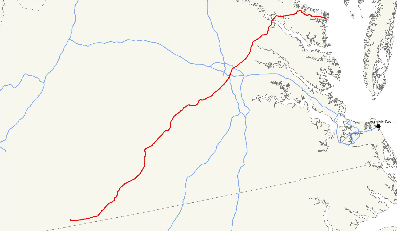
length_mi=223
length_ref=Fact|date=February 2007
length_round=0
established=1933
direction_a=West
direction_b=East
starting_terminus=Jct|state=VA|US-Bus|58|VA|293|VA|360|dab1=Danville in Danville
junction=Jct|state=VA|US|460 at Burkeville
Jct|state=VA|I|295 in Richmond
Jct|state=VA|US|17 in Tappahannock
ending_terminus=Jct|state=VA|sec|644|nolink1=644 at Reedville
spur_of=60
previous_type=VA
previous_route=359
next_type=VA
next_route=360U.S. Route 360 is a spur of U.S. Route 60 in the
U.S. state ofVirginia . It runs from U.S. Route 58 Business, State Route 293, and State Route 360 in Danville northeast to Reedville. US 360 goes through the city of Richmond, where it crosses US 60.Route description
This highway is entirely within Virginia.
Major intersections
* US 501 in Riverdale
* Concurrent with US 15 from Wylliesburg to Keysville.
* US 460 in Burkeville
* VA 288 in Richmond
*Interstate 64 in Richmond
* Interstate 295 in Richmond
* US 17 in Tappahannock
* VA 3 in Warsawee also
*State Route 360
Wikimedia Foundation. 2010.