- Duckwater, Nevada
-
Duckwater, Nevada Unincorporated Community Country United States State Nevada District Nye County Elevation 1,670 m (5,479 ft) Coordinates 38°55′56″N 115°42′52″W / 38.93222°N 115.71444°W Timezone Pacific (UTC-8) - summer (DST) PDT (UTC-7) 

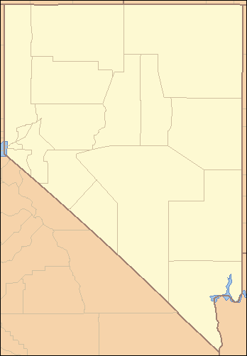
Duckwater is located in the central portion of the U.S. state of Nevada, at about the same latitude as Sacramento, California. It is in Nye County, on the eastern edge of the Duckwater Indian Reservation, near the Red Mountain Wilderness. The city of Las Vegas is about 200 miles to the south-southeast.
The population of Duckwater is 368 (2000 census). The average household income is about $43,980. Some main streets include "Meadow Road", "Duckwater Falls", and "Sugarshack Road". The nearest airport is Ely Airport in Ely. The town is at an elevation of 5,480 feet (1,670 m) and has a land area of 4,346.4 square miles (11,257 km2).[1]
In the Duckwater area, most people make their living by ranching, oil-drilling and refining, or working at Tribal Administration jobs at the Duckwater Shoshone Tribal Offices.
Native American children may attend the Duckwater Shoshone Elementary School (D.S.E.S.), located on the reservation. D.S.E.S. is tribally-controlled and operated, with the majority of funding derived from the Bureau of Indian Affairs, Office of Indian Education. All children have the opportunity to attend the Nye County School District's Duckwater School. Both schools are K-8 one-room schools. Most students attend Eureka County High School, 47 miles north of Duckwater.
References
- ^ "Duckwater, Nevada". city-data.com. http://www.city-data.com/city/Duckwater-Nevada.html. Retrieved 2009-12-07.
Municipalities and communities of Nye County, Nevada CDPs 
Unincorporated
communitiesAmargosa Valley | Belmont | Berlin | Cactus Springs | Carvers | Crystal | Currant | Duckwater | Gabbs | Hadley | Ione | Lockes | Manhattan | Mercury | Nyala | Potts | Rhyolite | Round Mountain | Scotty's Junction | Sunnyside | Warm Springs | Yomba
Categories:- Unincorporated communities in Nevada
- Populated places in Nye County, Nevada

Wikimedia Foundation. 2010.