- Caney Fork River
Infobox River
river_name = Caney Fork
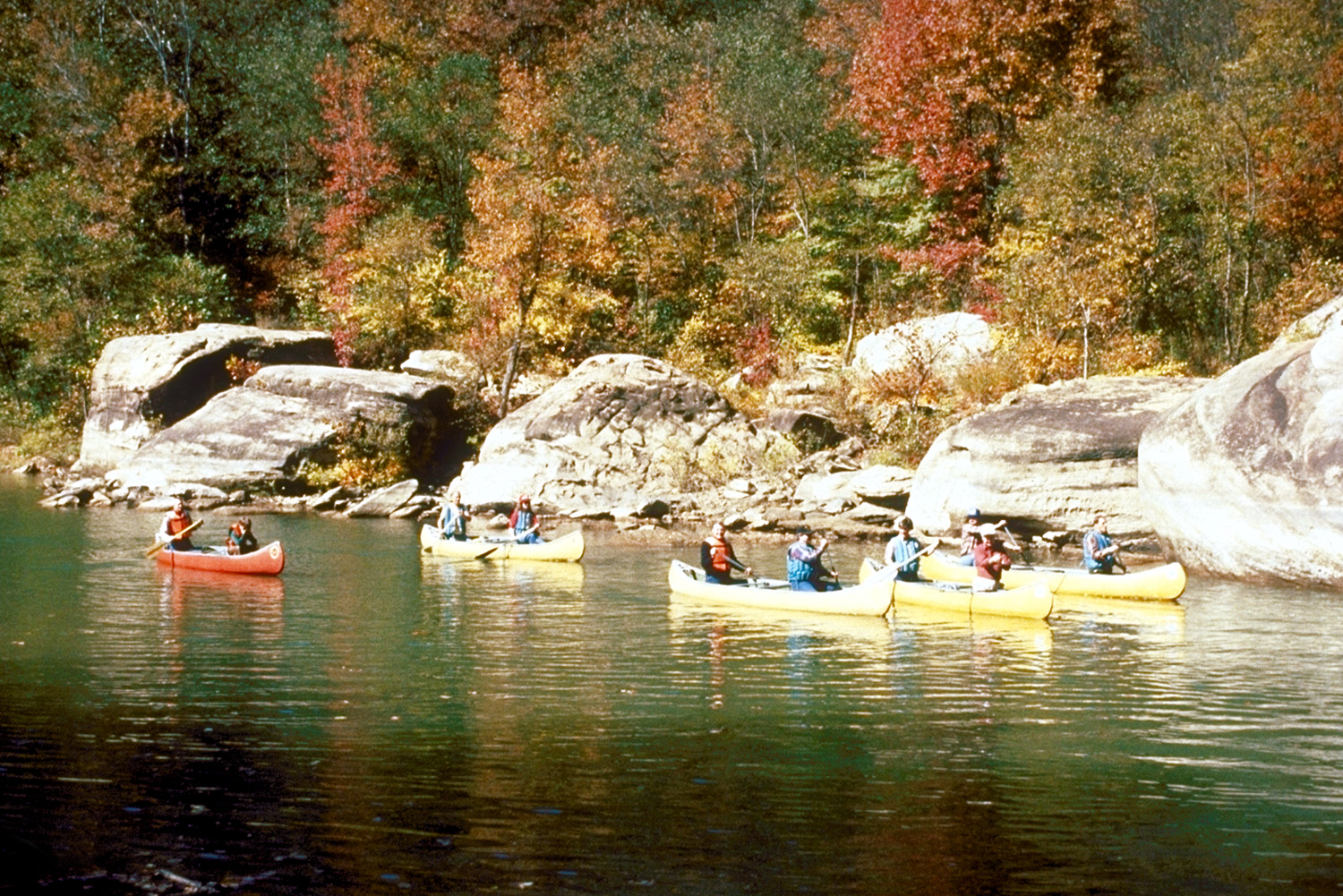
caption = Canoeing on the Caney Fork River near its headwaters in Cumberland County, Tennessee
origin =Cumberland Plateau inCumberland County, Tennessee
mouth =Cumberland River
basin_countries =United States
length = 144 mi [ [http://www.southeasternoutdoors.com/public-lands/rivers/caney-fork/caney-fork-river.html Southeastern Outdoors] ]
elevation =
mouth_elevation =
discharge =
watershed = 1,771 mi² [ [http://www.state.tn.us/environment/wpc/watershed/wsmplans/caneyfork/ TN Dept of Environment and Conservation] ] The Caney Fork River is one of the major streams draining theCumberland Plateau region ofTennessee and a major tributary of theCumberland River system.Geography
The Caney Fork rises in Cumberland County about six miles (10 km) west north-west of Crossville. It is crossed by
U.S. Route 70 near the tiny community of Claysville, and, flowing southwest, then crosses into White County. In southeastern White County it descends off the Cumberland Plateau through a deep, steep gorge known asScott's Gulf in a remote area west of Scott Pinnacle, a locally-known mountain. Farther downstream, near the Dodson community, the stream becomes the line between White County and Van Buren County. It receives the flow of theCalfkiller River and several minor tributaries.At the confluence of the Caney Fork, the
Collins River and the Rocky River is Great Falls Lake. This reservoir is impounded byGreat Falls Dam , a project of the former Tennessee Electric Power Company now owned and operated by theTennessee Valley Authority , the only dam outside of theTennessee River drainage system directly operated by it. This dam impounds a very small but very deep lake due to the depth of the gorges carved by the rivers it impounds. This area was something of a resort area in the early 20th century when such projects were uncommon, especially in the southeasternUnited States , but other than a few cabins, there is little evidence of this today, as the area has been largely supplanted by larger, more modern developments. The dam is named for the Great Falls of the Caney Fork, caused by the descent of the stream off of theHighland Rim to the level of theNashville Basin . Here is Rock Island State Park, developed on the site of former woolen mills in the 19th century well predating the electrical development. (This area was used for a considerable number of exterior shots and stunts in theSylvester Stallone film , "The Specialist ".)At the foot of Great Falls Dam the water is usually slack except during periods of high discharge due to the influence of the
U. S. Army Corps of Engineers Center Hill Dam project, developed in the late 1950s. Unlike Great Falls Dam, this project flooded thousands of acres of land previously devoted toagriculture and several small communities. It is crossed by a particularly scenicbridge on State Route 56. Along its shores isEdgar Evins State Park , named for the father of the area's former Congressman,Joe L. Evins , former chairman of the House Appropriations Committee. This area is in DeKalb County.Below Center Hill Dam, the stream crosses into Smith County and is bridged by
Interstate 40 no less than five times. This downstream section is sometimes stocked withtrout by the "Tennessee Wildlife Resources Agency". A final bridge is on U.S. Route 70N near the Elmwood community; the river's mouth into the Cumberland is almost directly opposite the Smith County seat of Carthage.ee also
*
Scott's Gulf
*Rock Island State Park
*Center Hill Lake References
Wikimedia Foundation. 2010.