- North Shore, Ontario
-
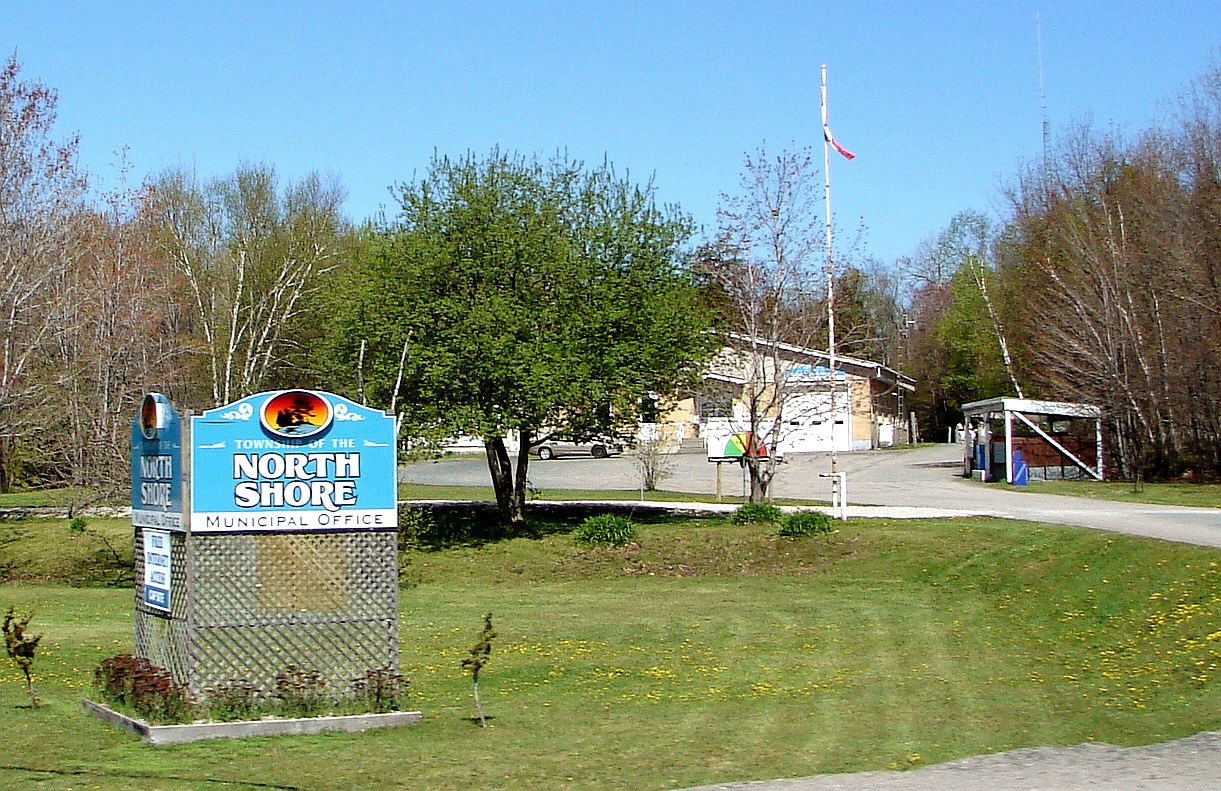
North Shore — Township — North Shore municipal offices.

 North Shore
Coordinates: 46°14′N 82°38′W / 46.233°N 82.633°WCoordinates: 46°14′N 82°38′W / 46.233°N 82.633°W Country  Canada
Province  Ontario
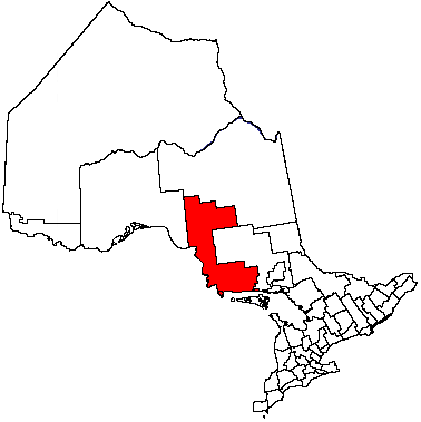
District Algoma Incorporated 1978 Government – Type Township – Mayor Randi Condie – Governing Body North Shore Township Council – MP Carol Hughes (NDP) – MPP Michael Mantha (NDP) Area[1] – Land 230.79 km2 (89.1 sq mi) Population (2006)[1] – Total 549 – Density 2.4/km2 (6.2/sq mi) Time zone EST (UTC−5) – Summer (DST) EDT (UTC−4) Area code(s) 705 Website www.townshipofthe
northshore.caNorth Shore is a township in the Canadian province of Ontario, located in the Algoma District. The township had a population of 549 in the Canada 2006 Census. It is along the north shore of the North Channel of Lake Huron (hence its name), with its main communities all along Highway 17.
Contents
Communities
Algoma Mills
Algoma Mills is located between the North Channel and Lauzon Lake, near the township's western boundary. The Algoma Mills Water Aerodrome serves the community.
Moiles Mills
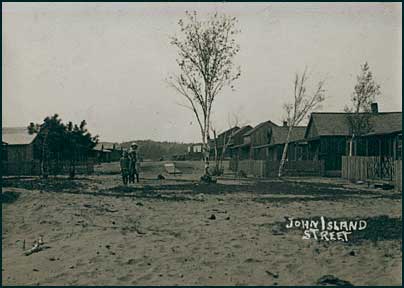
Moiles Mills is a ghost town. It was established as a lumber town in April 1889 and burned down in 1918. The former townsite is now the site of John Island Camp, a children's summer camp operated by the YMCA.
Serpent River
Serpent River is located at the junction of highways 17 and 108.
Spragge
Originally known as Cook's Mills, in 1882 the Cook Brothers Lumber Company established a sawmill at this location on the north shore of Lake Huron. The mill operated until 1906 when it was sold to Waldie Brothers Lumber Company. With the mill no longer in Cook's ownership, Spragge (the original name of the township in which it is located), was adopted as the name of the community. Waldie Brothers in turn sold the mill to McFadden and Malloy in 1913.
Over time a small village with a school, hotel, barbershop, general store was created, and by 1926 the community had a population of about 300 people. Sawmill activity was terminated in Spragge in the early 1930s following a disastrous fire, which eliminated the mill, lumber inventory, docks and most of the town. The town subsequently revived with the discovery of uranium and copper deposits in the area, leading to a thriving mining industry.
Demographics
Canada census – North Shore, Ontario Community Profile 2006 2001 Population:
Land area:
Population density:
Median age:
Total private dwellings:
Mean household income:549 (0.9% from 2001)
230.79 km2 (89.11 sq mi)
2.4 /km2 (6.2 /sq mi)
53.5 (males: 55.2, females: 52.3)
342
$45,809544 (-19.8% from 1996)
230.80 km2 (89.11 sq mi)
2.4 /km2 (6.2 /sq mi)
48.6 (males: 49.2, females: 48.4)
392
$52,602Population trend:[4]
- Population in 2006: 549
- Population in 2001: 544
- Population in 1996: 678
- Population in 1991: 729
Images
-

Algoma Mills and Lauzon Lake
-

Turn of the century view of the main street in Moiles Mills
-

Spragge along Highway 17
References
- ^ a b "North Shore community profile". 2006 Census data. Statistics Canada. http://www12.statcan.gc.ca/census-recensement/2006/dp-pd/prof/92-591/details/page.cfm?Lang=E&Geo1=CSD&Code1=3557040&Geo2=PR&Code2=35&Data=Count&SearchText=north%20shore&SearchType=Begins&SearchPR=01&B1=All&Custom=. Retrieved 2011-03-07.
- ^ "2006 Community Profiles". Statistics Canada. Government of Canada. 2009-02-24. http://www12.statcan.ca/census-recensement/2006/dp-pd/prof/92-591/index.cfm?Lang=E. Retrieved 2011-03-07.
- ^ "2001 Community Profiles". Statistics Canada. Government of Canada. 2007-02-01. http://www12.statcan.ca/english/profil01/CP01/Index.cfm?Lang=E. Retrieved 2011-03-07.
- ^ Statistics Canada: 1996, 2001, 2006 census
External links

Elliot Lake Unorganized North Algoma District Blind River 
Spanish  North Shore

North Channel of Lake Huron /
Gordon/Barrie Island (Manitoulin Island)Serpent River 7 Algoma District, Ontario Cities 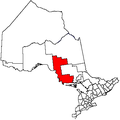
Towns Townships Dubreuilville • Hilton • Hornepayne • Huron Shores • Jocelyn • Johnson • Laird • Macdonald, Meredith and Aberdeen Additional • North Shore • Plummer Additional • Prince • St. Joseph • Tarbutt and Tarbutt Additional • Wawa • White RiverVillages Hilton BeachFirst Nations Batchewana • Garden River • Hornepayne • Michipicoten • Missanabie • Mississauga • Sagamok • Serpent River • ThessalonIndian reserves Chapleau 61 • Garden River • Goulais Bay • Gros Cap • Gros Cap Village • Missanabie • Mississagi River • Obadjiwan • Rankin Location • Sagamok • Serpent River • Thessalon • Whitefish IslandLocal services boards Aweres • Batchawana Bay • Goulais and District • Hawk Junction • Missanabie • Peace Tree • Searchmont • Wharncliffe and KynochUnorganized areas North • South EastSee also: Communities in Algoma District • Census divisions of OntarioCategories:- Township municipalities in Ontario
- Municipalities in Algoma District, Ontario


Wikimedia Foundation. 2010.