- Ogano, Saitama
-
Ogano
小鹿野町— Town — Location of Ogano in Saitama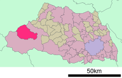

 Ogano
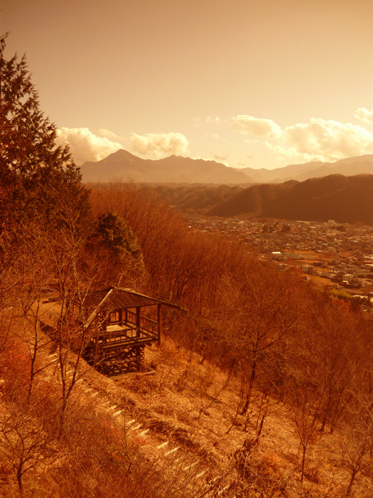
OganoCoordinates: 36°1′N 139°1′E / 36.017°N 139.017°ECoordinates: 36°1′N 139°1′E / 36.017°N 139.017°E Country Japan Region Kantō Prefecture Saitama District Chichibu Area - Total 100.03 km2 (38.6 sq mi) Population (2003) - Total 11,640 - Density 116.4/km2 (301.4/sq mi) Time zone Japan Standard Time (UTC+9) Website Town of Ogano 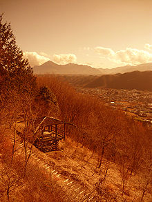 View of Ogano with Mt. Pukoja in the distance
Ogano (小鹿野町 Ogano-machi) is a town located in Chichibu District, Saitama, Japan. The rugged topography consists of mountains, valleys, lakes and rivers [1].
On October 1, 2005 the village of Ryōkami, from Chichibu District, was merged into Ogano.
As of 2003, the town has an estimated population of 11,640 and a density of 116.37 persons per km². The total area is 100.03 km².
All year round, the beautiful lakes of Ogano attract many recreational fishermen from neighboring towns and prefectures. In the hills and valleys of Ogano, many wild animals can commonly be observed. In particular wild boars ('inoshishi'), black bears, foxes, and 'pit viper' snakes.
Strawberry picking is a popular activity in spring as well as the harvesting of grapes.
Contents
Festivals
Teppo Matsuri (Gun Festival) at Iida Hachiman Shrine - December 12 & 13.
Transportation
Rail
The Tobu and Seibu lines connect Chichibu, Saitama with Yorii, Kumagaya and Ikebukuro.
Bus
Local bus: between Ogano and Chichibu, Saitama (500 yen/30 minutes).
Roads
National Route 299 - runs through Ogano and connects to Chichibu, in the south, and Gunma prefecture to the north.
External links
 Media related to Ogano, Saitama at Wikimedia Commons
- Ogano official website (Japanese)
Categories:- Towns in Saitama Prefecture
- Saitama geography stubs


Wikimedia Foundation. 2010.