- Moravský Svätý Ján
-
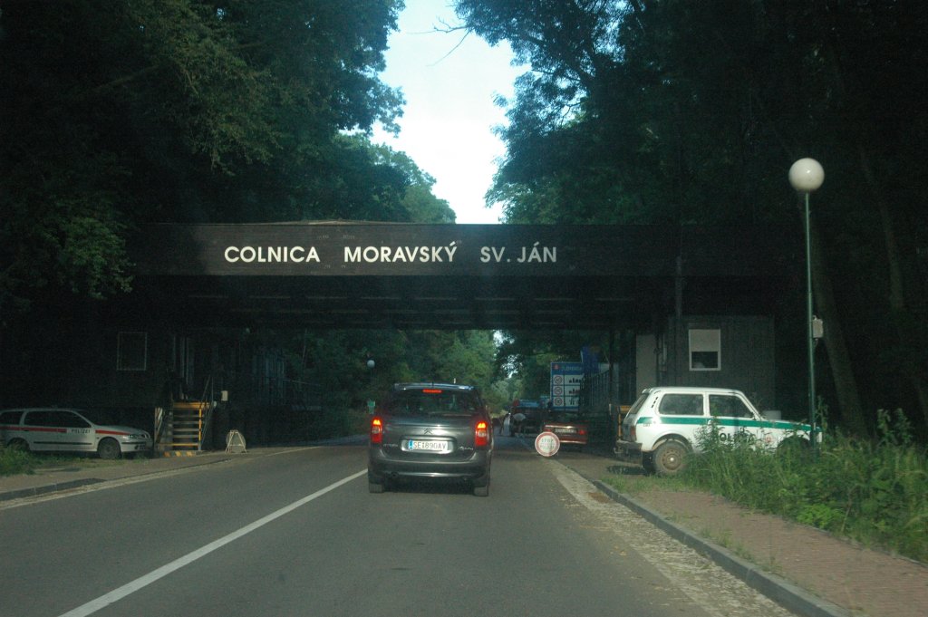
Moravský Svätý Ján Village  Former border crossing checkpoint west of the village
Country Slovakia Region Trnava District Senica Elevation 168 m (551 ft) Coordinates 48°35′00″N 17°01′00″E / 48.5833333°N 17.0166667°E Area 39.219 km2 (15.143 sq mi) Population 2,076 (31 December 2005) Density 53 / km2 (137 / sq mi) First mentioned 1449 Postal code 908 71 Area code +421-34 Car plate SE 

 Location of Moravský Svätý Ján in Slovakia
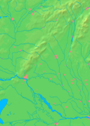
 Location of Moravský Svätý Ján in the Trnava Region
Website: www.obecmsjan.sk Source: [1] Moravský Svätý Ján is a village and municipality in Senica District in the Trnava Region of western Slovakia.
Contents
History
In historical records the village was first mentioned in 1449.
Geography
The municipality lies at an altitude of 168 metres and covers an area of 39.219km². It has a population of about 2074 people.
References
External links
Senica · Šaštín-Stráže
Bílkove Humence · Borský Mikuláš · Borský Svätý Jur · Cerová · Čáry · Častkov · Dojč · Hlboké · Hradište pod Vrátnom · Jablonica · Koválov · Kuklov · Kúty · Lakšárska Nová Ves · Moravský Svätý Ján · Osuské · Plavecký Peter · Podbranč · Prietrž · Prievaly · Rohov · Rovensko · Rybky · Sekule · Smolinské · Smrdáky · Sobotište · Šajdíkove Humence · Štefanov Categories:
- Villages and municipalities in Senica District
- Trnava Region geography stubs


Wikimedia Foundation. 2010.