- Uličské Krivé
Geobox|Settlement
name = Uličské Krivé
category = Village
etymology =
official_name =
motto =
nickname =
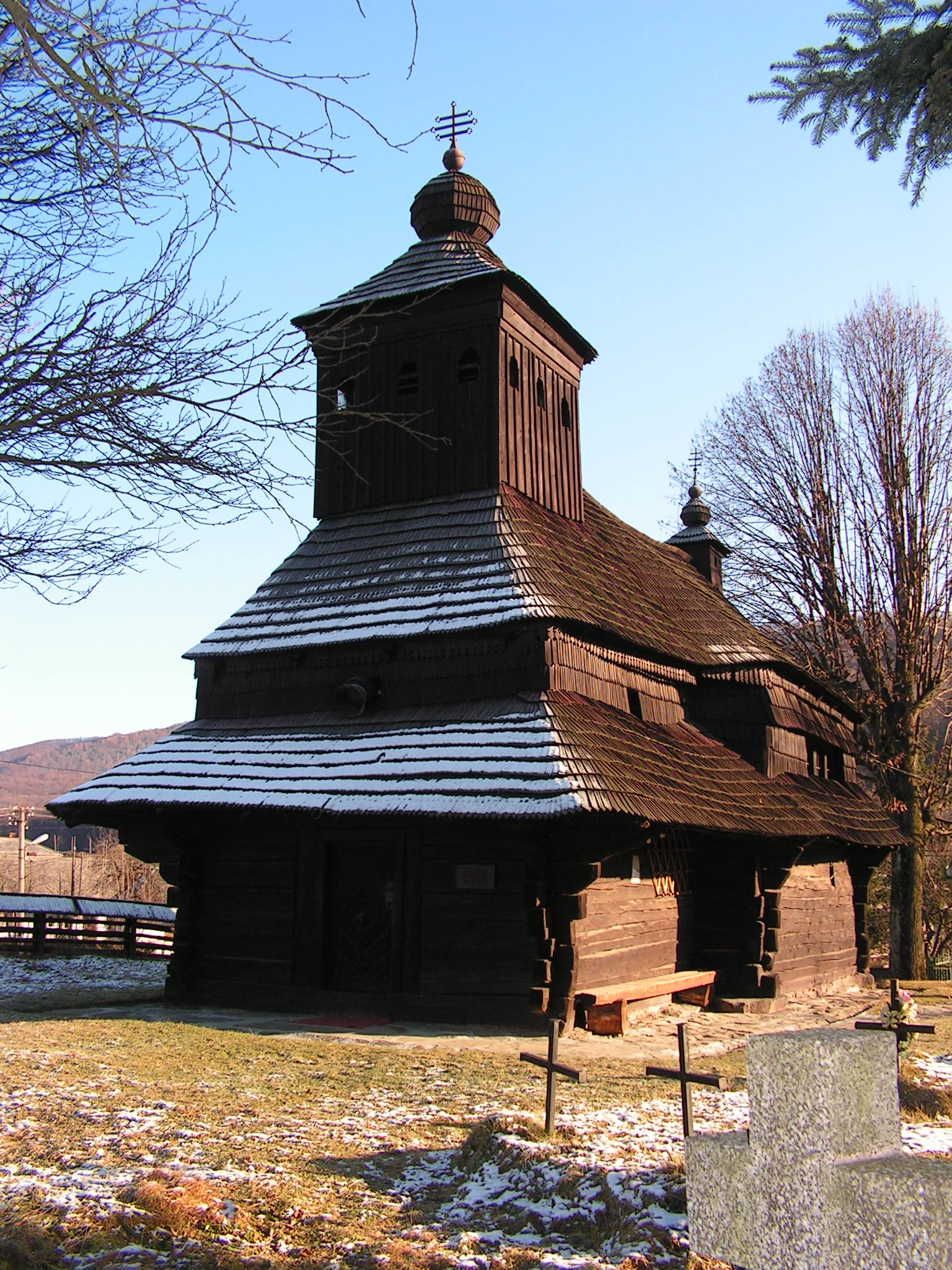
image_caption = Wooden church ("cerkva") in Uličské Krivé
symbol =
symbol_type =
country = Slovakia
country_
state =
region = Prešov Region
district = Snina District
municipality =
landmark =
river =
location =
elevation = 285
prominence =
lat_d =48 | lat_m =59 | lat_s =30 | lat_NS =N
long_d =22 | long_m =26 | long_s = 10 | long_EW =E
highest =
highest_location = | highest_region = | highest_state =
highest_elevation =
highest_lat_d = | highest_lat_m = | highest_lat_s = | highest_lat_NS =
highest_long_d = | highest_long_m = | highest_long_s = | highest_long_EW =
lowest =
lowest_location = | lowest_region = | lowest_state =
lowest_elevation =
lowest_lat_d = | lowest_lat_m = | lowest_lat_s = | lowest_lat_NS =
lowest_long_d = | lowest_long_m = | lowest_long_s = | lowest_long_EW =
length = | length_orientation =
width = | width_orientation =
area = 19.132
area_round = 3
area_land =
area_water =
area_urban =
area_metro =
population =275 | population_date =31 December 2005
population_urban =
population_metro =
population_density = auto
population_density_urban =
population_density_metro =
established =1478
established_type = First mentioned
date =
government =
government_location = | government_region = | government_state =
government_elevation =
government_lat_d = | government_lat_m = | government_lat_s = | government_lat_NS =
government_long_d = | government_long_m = | government_long_s = | government_long_EW =
mayor =
leader =
timezone =
map_caption = Location of Uličské Krivé in Slovakia
map_background = Slovakia - background map.png
map1 = Prešov Region - outline map.svg
map1_caption = Location of Uličské Krivé in the Prešov Region
map1_background = Prešov Region - background map.png
commons =
statistics = [http://www.statistics.sk/mosmis/eng/prvav2.jsp?txtUroven440709&lstObec520942&Okruhzaklad MOŠ/MIS]
website = http://www.stakcin.eu/
footnotes =Uličské Krivé is a
village andmunicipality inSnina District in thePrešov Region of north-easternSlovakia .History
In historical records the
village was first mentioned in1478 .Geography
The
municipality lies at analtitude of 285metres and covers anarea of 19.132km². It has apopulation of about 270 people.External links
*http://www.statistics.sk/mosmis/eng/run.html


Wikimedia Foundation. 2010.