- Ohio State Route 100
-
State Route 100
Route information Maintained by ODOT Length: 39.02 mi[1] (62.80 km) Existed: 1924 – present Major junctions South end:  SR 309 near Iberia
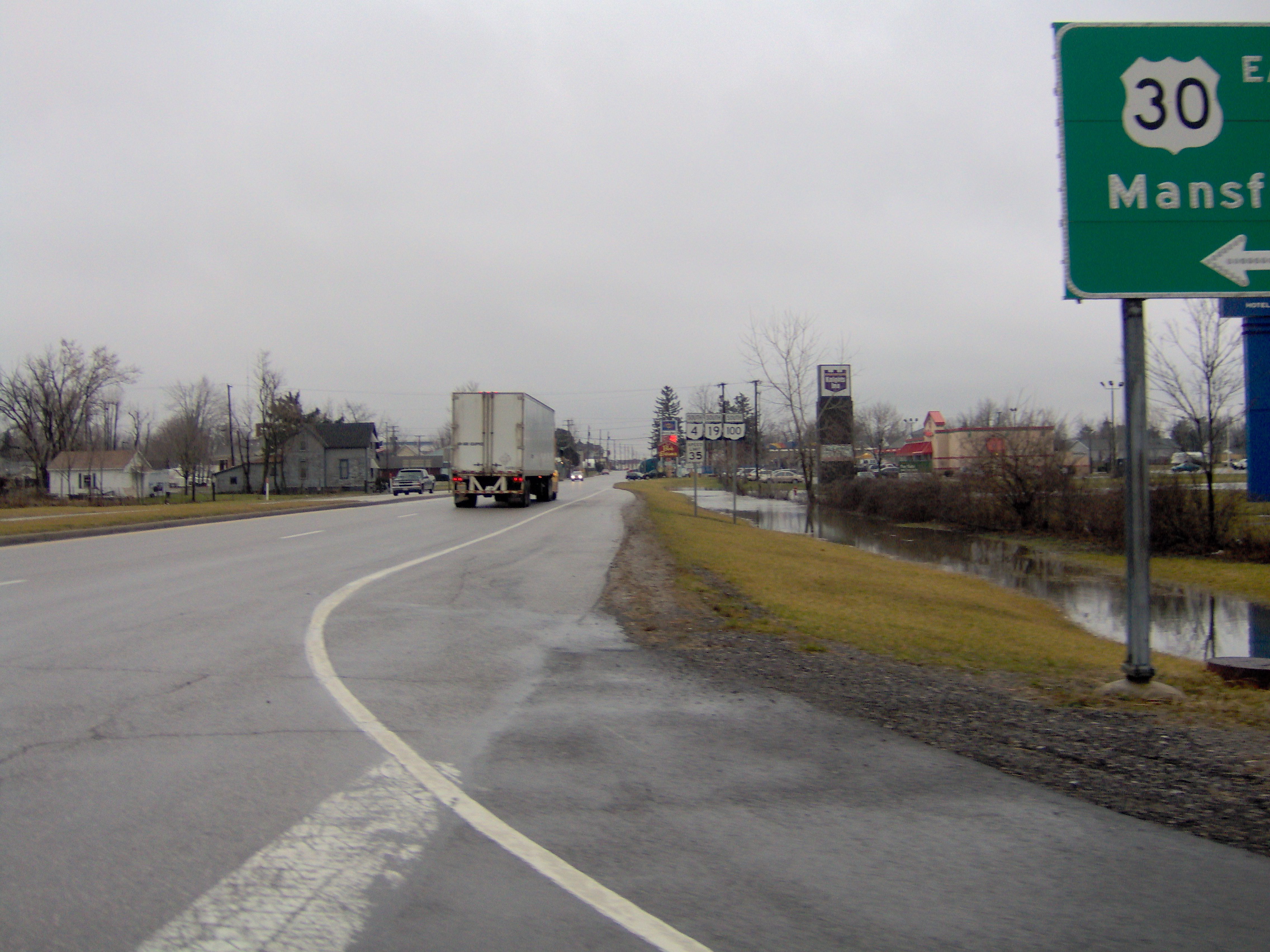
 US 30 in Bucyrus
North end:  SR 53 in Tiffin
Location Counties: Marion, Crawford, Seneca Highway system Ohio highways
Interstates • U.S. Routes • State Routes←  SR 99
SR 99SR 101  →
→State Route 100 is a north–south highway in northwestern Ohio. Its southern terminus is at State Route 309 near Iberia, and its northern terminus is at State Route 53 in Tiffin.
History
- 1924 – Original route established. Originally routed from 1-mile (1.6 km) north of Brokensword to Tiffin.[2]
- 1939 - Extended to 12 miles (19 km) south of Bucyrus along route 19 from 1-mile (1.6 km) north of Brokensword to 3 miles (4.8 km) south of Bucyrus and an unnumbered road from 3 miles (4.8 km) south of Bucyrus to 12 miles (19 km) south of Bucyrus.[2]
Major intersections
County Location Mile Destinations Notes Marion Iberia 0.0 SR 309Southern Terminus. Crawford Bucyrus 9.11  SR 19
SR 19Southern terminus of SR 19 concurrency; SR 19 continues south. 12.53  SR 4
SR 4
 SR 98
SR 98Southern terminus of SR 4/SR 98 concurrency; SR 4/SR 98 continue south. 12.67 SR 98Northern terminus of SR 98 concurrency; SR 98 continues north. 13.46 US 30Full-access interchange with US 30. 14.02 SR 4Northern terminus of SR 4 concurrency; SR 4 continues north. Lykens Township 21.3 SR 19Northern terminus of SR 19 concurrency; SR 19 continues north. 25.12  SR 103
Eastern terminus of SR 103 concurrency; SR 103 continues east. 25.26 SR 103Western terminus of SR 103 concurrency; SR 103 continues west. Seneca Melmore 30.57  SR 67
SR 67Southern terminus of SR 67 concurrency; SR 67 continues south. 30.83 SR 67Northern terminus of SR 67 concurrency; SR 67 continues north. Tiffin 35.56  US 224
37.88  SR 231
Southern terminus of SR 231 concurrency; SR 231 continues south. 38.23 SR 231Northern terminus of SR 231 concurrency; SR 231 ends. 38.29  SR 18
SR 18
SR 10139.02 SR 53Northern terminus. 1.000 mi = 1.609 km; 1.000 km = 0.621 mi References
- ^ Ohio Department of Transportation. "Technical Services Straight Line Diagrams". http://www.odotonline.org/techservapps/SLD/default.htm. Retrieved April 30, 2010.
- ^ a b Route 100 (The Unofficial Ohio State Highways Web Site) by John Simpson
Categories:- State highways in Ohio
- Transportation in Marion County, Ohio
- Transportation in Crawford County, Ohio
- Transportation in Seneca County, Ohio

Wikimedia Foundation. 2010.