- Charlevoix crater
-
Coordinates: 47°32′N 70°18′W / 47.533°N 70.3°W
 Landsat image of Charlevoix crater. The inner circle marks an early estimate of the diameter of the crater; the outer circle indicates what is now believed to be the real size.
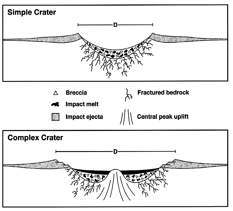
The Charlevoix crater is a large eroded meteorite impact crater in the Charlevoix region of Quebec, Canada.[1] Only part of the crater is exposed at the surface, the rest being covered by the Saint Lawrence River. The original crater is estimated to have been 54 kilometres (34 mi) in diameter and the age is estimated to be 342 ± 15 million years (Mississippian). The projectile was probably a stony asteroid, at least 2 kilometres (1.2 mi) in diameter, and weighing an estimated 15 billion tonnes (1.7×10¹⁰ short tons). The Mont des Éboulements, situated in the exact centre of the crater, is interpreted as the central uplift, a consequence of elastic rebound.[2] The crater is classified as a multi-ringed basin with a central uplift.
The impact origin of Charlevoix crater was first realized in 1965 after the discovery of many shatter cones in the area. Other evidence for impact includes planar deformation features (PDFs) in quartz and feldspar grains.
In contrast to the surrounding craggy Laurentian Mountains, the crater is relatively smooth and flat, which has facilitated human settlement. Today, 90% of the people of Charlevoix live within this crater.[2]
References
- ^ "Charlevoix". Earth Impact Database. University of New Brunswick. http://www.passc.net/EarthImpactDatabase/charlevoix.html. Retrieved 2008-12-30.
- ^ a b Interpretation Centre, Parc national des Grands-Jardins, Charlevoix
External links
- Earth Impact Database
- Satellite image of the region (from Google Maps)
- Aerial Exploration of the Charlevoix Structure

This article about a specific Canadian geological feature is a stub. You can help Wikipedia by expanding it.