- Middle Rainton
-
Coordinates: 54°49′08″N 1°29′17″W / 54.819°N 1.488°W
Middle Rainton 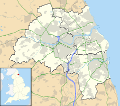
 Middle Rainton
 Middle Rainton shown within Tyne and Wear
OS grid reference NZ330472 List of places: UK • England • Tyne and Wear Middle Rainton was a small hamlet between West Rainton and East Rainton in the City of Sunderland, north east England. It was subject to a schedule D notice[clarification needed] and hence ceased to exist in the 1970s. The site of Middle Rainton is now a Nature Reserve open to the Public. It lies on the A690 road, about 3 miles (5 km) east of the A1(M).
Categories:- Villages in Tyne and Wear
- Tyne and Wear geography stubs

Wikimedia Foundation. 2010.