- M-150 (Michigan highway)
-
M-150
Route information Maintained by MDOT Length: 4.77 mi[1] (7.68 km) Existed: 1930[1] – present Major junctions South end:  M-59 in Rochester
North end: Rochester Rd. & Tienken Rd. in Rochester Location Counties: Oakland Highway system Michigan State Trunkline Highway System
Interstate • US • State←  M-149
M-149M-151  →
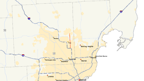
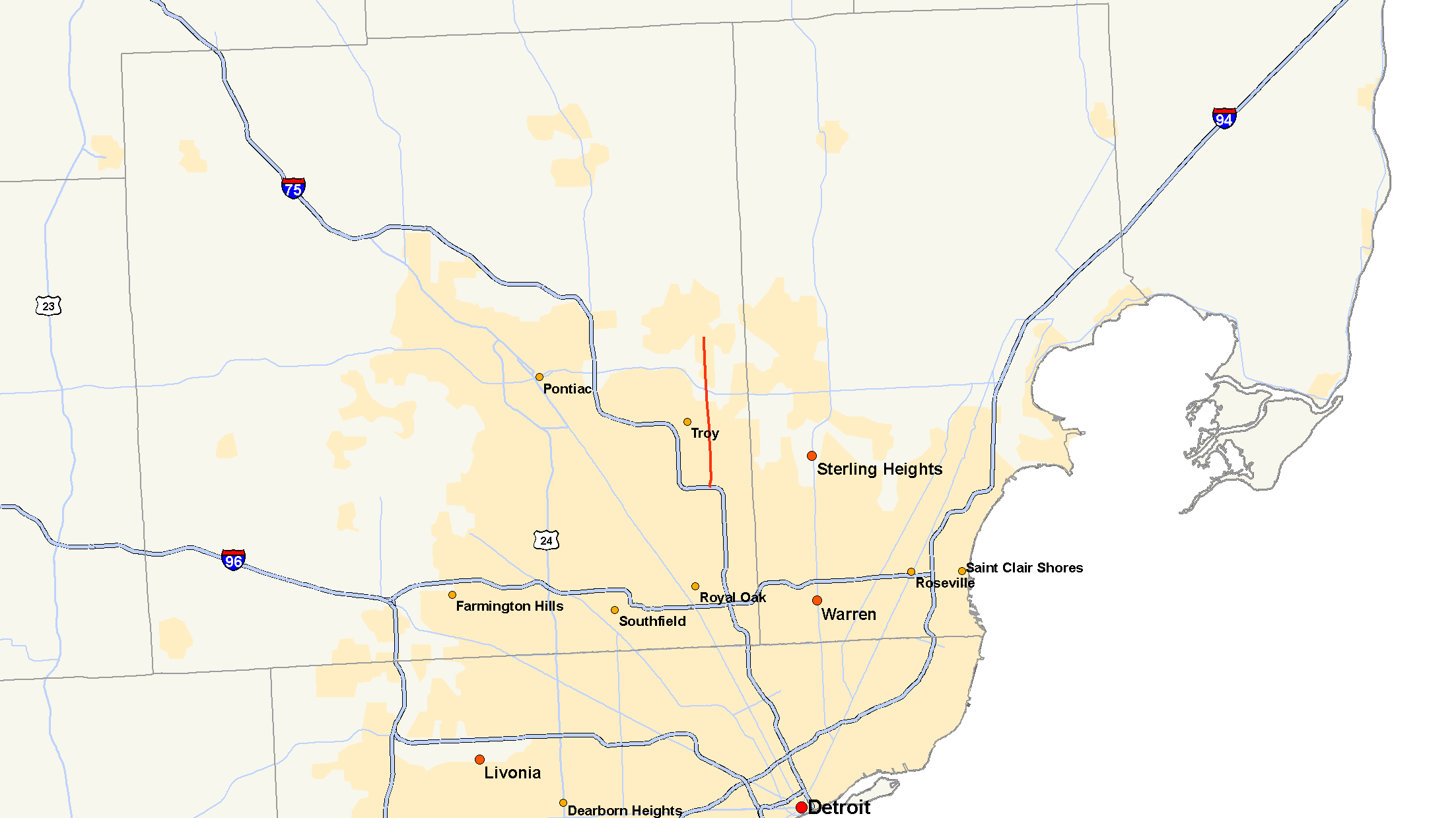
→M-150 is a state trunkline highway in the US state of Michigan that runs through Rochester. It is more commonly known as Rochester Road, or Main Street through Downtown Rochester. The northern terminus is at Tienken Road, and its southern terminus is at the M-59 expressway. The route previously ran into Troy to terminate at I-75, but that extended route was later cut short and the route returned to a length of less than five miles (8 km).
Contents
Route description
M-150 comprises a single road, known locally as Rochester Road, which begins at an interchange with M-59 at exit 46. From there it travels north through densely populated area, filled with subdivisions and tightly packed housing, past the Hampton Golf Club and the Winchester Mall. Coming to its conclusion, for just under five miles (8 km), at Tienken Road.
History
M-150 has always existed along Rochester Road in Oakland County since it was commissioned in 1930. At that time, the road ran from a junction with M-59 in, what is today, Rochester Hills, north, to the northern limit of Rochester. Since then, the road has been extended and shortened a number of times. In 1932 a 14-mile (23 km) extension to the south terminated the highway at M-102. In 1935 another extension, this time to the north, was added creating a new northern terminus at Romeo Road. As the interstate system took shape in Michigan, eventually portions of M-150 were returned to local control due to the completion of the I-75 freeway.
The route eventually was scaled back to nearly how it existed in 1930. In 1965, the northerly extension was scaled back to Tienken Road and in 1982, all of M-150 that was south of M-59 was also removed from the state trunkline system leaving the road as it is today.[1]
Major intersections
The entire highway is in Rochester, Oakland County.
Mile[2] Destinations Notes 0.00 M-594.77 Tienken Road 1.000 mi = 1.609 km; 1.000 km = 0.621 mi References
- ^ a b c Michigan Highways: Highways 140 through 159 Christopher J. Bessert. URL accessed October 30, 2006.
- ^ "MiGDL - Center for Geographic Information - Geographic Data Library". Michigan Department of Information Technology. May 2007. http://www.mcgi.state.mi.us/mgdl/?rel=thext&action=thmname&cid=14&cat=MI+Geographic+Framework+All+Roads+%28v7b%29. Retrieved February 9, 2008.
External links
Categories:- State highways in Michigan

Wikimedia Foundation. 2010.