- Connecticut Route 31
-
Route 31

Route information Maintained by ConnDOT Length: 14.34 mi[1] (23.08 km) Existed: 1942 (extended 1963) – present Major junctions West end:  Route 74 in Vernon
 I-84 in Vernon
East end:  Route 32 in Mansfield
Highway system Routes in Connecticut
Special Service Roads • State Roads←  Route 30
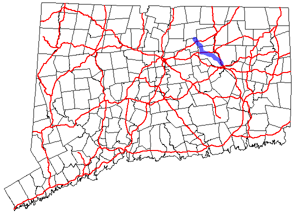
Route 32 →Route 31 is an east–west state highway in Connecticut running for 14.34 miles (23.08 km) from Route 74 in Vernon to Route 32 in Mansfield.
Contents
Route description
Route 31 begins at an intersection with Route 74 in Vernon and heads southeast, intersecting Route 30 and I-84 before crossing into Tolland.[1]
In Tolland, Route 31 continues southeast before turning south briefly before crossing into Coventry. In Coventry, Route 31 continues south to a concurrency with US 44. The two highways run together for slightly more than one mile (1.6 km) before Route 31 heads southeast, crossing Route 275 before continuing into Mansfield.
In Mansfield, Route 31 continues southeast before ending at an intersection with Route 32.
History
The southern part of Route 31 was commissioned as part of the original alignment of US 6 in 1926. In approximately 1938, US 6 was rerouted and the old route was designated US 6A.
In 1942, US 6 was rerouted again and the old US 6A was commissioned as Route 31. In 1963, Route 31 was extended northward to its current route.[2]
Junction list
Location Mile[1] Destinations Notes Vernon 0.00 Route 740.79 Route 301.11–
1.20 I-84Coventry 5.80  US 44
US 44Begin concurrency 6.90 US 44End concurrency 11.10  Route 275
Mansfield 14.34 Route 321.000 mi = 1.609 km; 1.000 km = 0.621 mi References
Categories:- State highways in Connecticut
- Transportation in Tolland County, Connecticut

Wikimedia Foundation. 2010.