- Manzanares, Ciudad Real
-
Manzanares — Municipality — 
Coat of armsLocation in Spain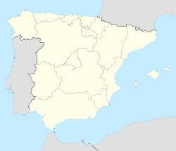
 Manzanares
Coordinates: 38°59′47″N 3°22′23″W / 38.99639°N 3.37306°WCoordinates: 38°59′47″N 3°22′23″W / 38.99639°N 3.37306°W Country  Spain
SpainAutonomous community  Castile-La Mancha
Province Ciudad Real Area - Total 47,422 km2 (18,309.7 sq mi) Elevation 654 m (2,146 ft) Population (2009) - Total 19,126 - Density 0.4/km2 (1/sq mi) Demonym Manzanareño, Manzanareña Time zone CET (UTC+1) - Summer (DST) CEST (UTC+2) Postal code 13200 Official language(s) Spanish Website Official website  Our Lady of Solitude, Virgen de la Soledad, in Manzanares
Manzanares, Ciudad Real is a municipality in Ciudad Real, Castile-La Mancha, Spain. It has a population of 19,186 (2009). It is located near the Autovía A-4 (Autovia del Sur).
The Iglesia de la Asunción, the town's main church is dedicated to the Assumption of Mary.
The village of Llanos del Caudillo, established by the Instituto Nacional de Colonización in the 1950s and formarly depending from Manzanares, became a municipality in its own right in the 1990s.
Points of interest
External links
Categories:- Municipalities in Ciudad Real
- Populated places in Ciudad Real
- Castile-La Mancha geography stubs


Wikimedia Foundation. 2010.