- Ionview
Infobox City
official_name = Ionview
subdivision_type2 = Country
subdivision_name2 =Canada
subdivision_type1 = Province
subdivision_name1 =Ontario
subdivision_type = City
subdivision_name =Toronto 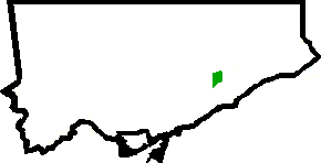
mapsize=150px
map_caption=Location of Ionview within Toronto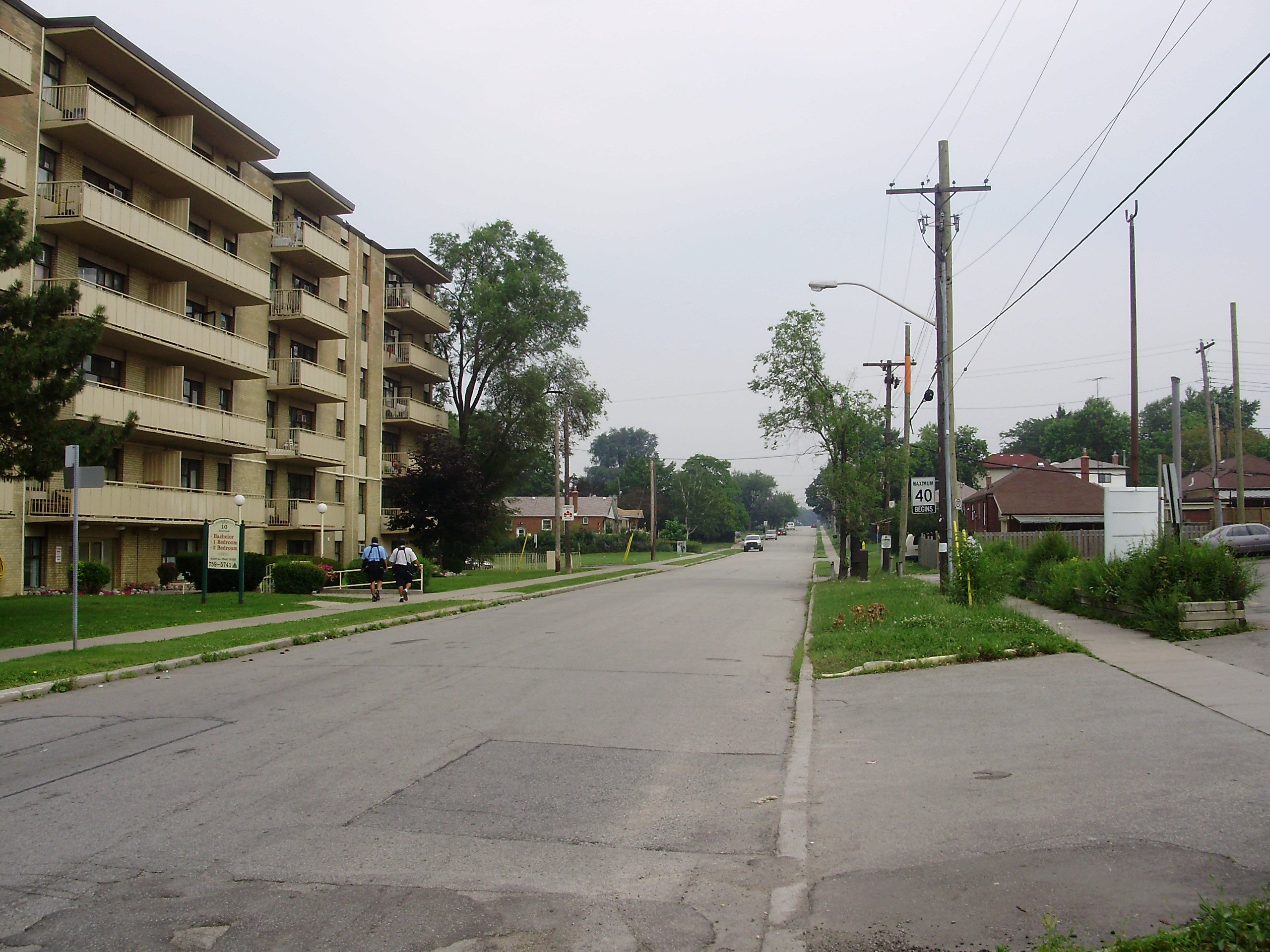
Ionview is a neighbourhood in
Toronto ,Ontario , in the former city of Scarborough. It is bounded byBirchmount Road to the west, the hydro transmission corridor north of Ranstone Gardens to the north, the CNR railway to the east, and Eglinton Avenue East, Kennedy Road and the CNR railway to the south. Portions of the area comprising modern Ionview were once contained in the former village of Wexford, founded in the 1840s, and Scarborough Junction, established in 1873. The area remained generally rural until the postwar housing boom of the 1940s and 1950s.The Taylor-Massey Creek, an eastern tributary of the Don River, flows through the Eglinton Ravine in the southwest portion of Ionview. Green space within the neighbourhood includes Eglinton Ravine Park, extending from Eglinton Avenue East to the railway, centrally located Ionview Park, and Jack Goodlad Community Park in the north.
Ionview is a predominately working-class neighbourhood, with 63% of the population residing in rented accommodation as of 2001, the majority in apartment towers. There was a higher percentage of children aged 0-4 in Ionview than the Toronto average as of 2001.
The neighbourhood is well-connected to the rest of the city by public transit, served by the TTC's 17 Birchmount, 34 Eglinton East, and 43 Kennedy bus routes. Kennedy station, the eastern terminus of the Bloor-Danforth subway and southern terminus of the Scarborough RT, is immediately south of Ionview.
Ionview is contained within the federal and provincial riding of
Scarborough Southwest . It is represented byLorenzo Berardinetti in theOntario Legislature andTom Wappel in theParliament of Canada . TheToronto Police Service 's 41 Division is based in the neighbourhood.External links
* [http://www.toronto.ca/demographics/cns_profiles/cns125.htm City of Toronto - Ionview Neighbourhood Profile]
* [http://www.torontoneighbourhoods.net/regions/scarborough/140.html Toronto Neighbourhoods - Scarborough Junction]
* [http://www.scarboroughhistorical.com/local_history/scarborough_community_names.htm Scarborough Archives]Toronto Neighbourhood Geography
North =Dorset Park
East =Bendale Eglinton East
South = Kennedy Park
West =Clairlea-Birchmount
Wexford-Maryvale
Center = Ionview
Wikimedia Foundation. 2010.