- Figsbury Ring
Geobox Protected Area
name = Figsbury Ring
native_name =
other_name =
other_name1 =
category_local = Site of Special Scientific Interest
category_iucn =
image_size =
image_caption =
country = England
region = South West
region_type = Region
district =Wiltshire
district_type = Ceremonial county
city =
city1 =
area_unit = ha
area = 11.2
area_round = 1
location =Sandford, Somerset
lat_d = 51
lat_m = 6
lat_s = 11
lat_NS = N
long_d = 1
long_m = 43
long_s = 51
long_EW = W
elevation =
established_type = Notification
established = 1975
management_body = National Trust
management_location =
management_lat_d =
management_lat_m =
management_lat_s =
management_lat_NS =
management_long_d =
management_long_m =
management_long_s =
management_long_EW =
management_elevation =
visitation =
visitation_year =
free_type = Area of Search
free = Wiltshire
free1_type = Interest
free1 = Biological
map_size = 243
map_caption =
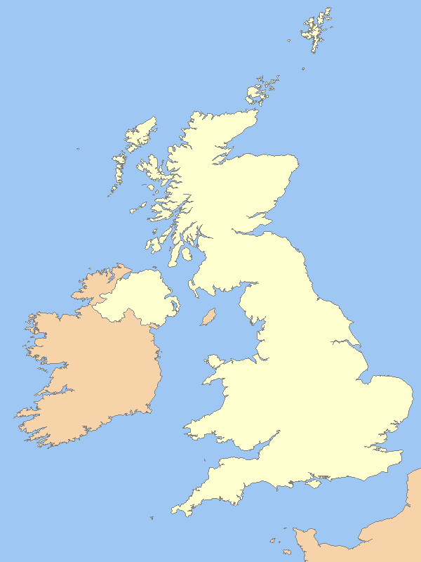
map_locator = UK
map_first = yes
website = [http://www.natureonthemap.org.uk/map.aspx?]
Figsbury Ring (gbmapping|SU188338) is a 11.2
hectare biological Site of Special Scientific Interest inWiltshire , notified in 1975. It is owned and managed by the National Trust.Within the wider SSSI mentioned above, the earthworks of Figsbury Ring are sub-circular and enclose 6.4 hectares of grassland on a chalk ridge to the north east of Salisbury, in the parish of Firsdown, Wiltshire at NGR SU188338. It is yet to be fully investigated.
Small portions of the site were excavated in 1924 by Ben and
Maud Cunnington as it was their belief that the site was the remains of an Iron AgeHillfort . Superficially this description of an earthwork with exterior ditch would seem appropriate, however the presence of an enigmatic inner ditch has led many archaeologists to doubt this interpretation. This ditch is separated from the outer rampart by aberm of up to 30 metres in width and, to many, it seems likely that the site actually began as a late neolithicHenge .A small geophysical survey was carried out by Anthony Clark and John Gator in 1981 to determine whether or not an earth bank was ever associated with the inner ditch. The results of this survey were inconclusive.
In 1982 the finds from the Cunningtons' excavations where then reappraised by Margaret Guido and Isobel Smith. This reappraisal established that several artefacts, (most notably
Grooved Ware and Beaker pottery [http://en.wikipedia.org/wiki/Beaker_%28archaeology%29] ) established that there had been occupation at the site much earlier than the period proposed by the Cunningtons.A further reappraisal of the artefacts was then carried out in 2003/04 by Philip Dunn, a student at Bournemouth University. This confirmed Guido and Smith's findings and went on to identify a number of
flint artefacts that were diagnostic of Neolithic occupation at the site. Following on from this study a large scale geophysical survey [http://en.wikipedia.org/wiki/Archaeological_geophysics] was conducted which involved the coverage of 46% of the interior using a Fluxgate Gradiometer. The results of this survey were, again, inconclusive although no evidence was detected for the existence of an inner bank. Traces of possible structures were detected and it was proposed that the site may have particularly early origins.When Figsbury was considered within the context of the wider landscape and a range of other nearby monuments it appeared possible that the site may have begun as a
Causewayed enclosure . This may then have been modified into a Henge monument sometime during the later Neolithic or Early Bronze Age. There is certainly sufficient evidence to state with some degree of confidence that the site was occupied, (albeit temporarily or intermittently) towards the middle of the third millennium BC. Further modification of the site appears to have taken place during the late Bronze Age or early Iron Age.A programme of excavation would provide answers to the many questions raised in the 2003/04 study. Details of this study are currently awaiting publication.
Bibliography & Further Reading
* Collis J. 1977 Iron Age Henges? Archaeologia Atlantica, (2) 55-63
* Cunnington M. 1924 Figsbury Rings : An Account of Excavations in 1924. Wiltshire Archaeological Magazine 43, 48-58
* Darvill T. & Thomas J. 2001 Neolithic Enclosures in Atlantic Northwest Europe : Some Recent Trends. In T. Darvill & J. Thomas (Eds) Neolithic Enclosures in Atlantic Northwest Europe : Neloithic Studies Group Seminar Papers 6. Oxford : Oxbow
* Gator J.A. & Clark A.J. 1981 Figsbury Rings : Geophysical Survey Autumn 1981, Photocopy report available from English Heritage : Fort Cumberland, Fort Cumberland Road, Eastney, Portsmouth, PO4 9LD
* Guido M. & Smith I.F. 1982 Figsbury rings : A Reconsideration of the Inner Enclosure. Wiltshire Archaeological and Natural History Magazine 76, 22-25
* Hamilton M. and Whittle A. 1999 Grooved Ware of the Avebury Area : Styles, Contexts and Meanings. In R. Cleal & A. MacSween (Eds) Grooved Ware in Britain and Ireland. Oxford : Oxbow (36-47)
* Harding A.F. with Lee G.E. 1987 Henge Monuments and Related Sites of Great Britain. Oxford : B.A.R.
* Oswald A. Dyer C. & Barber M. 2001 The Creation of Monuments : Neolithic Enclosures in the British Isles. Swindon : English Heritage
* Payne A. 1996 The Use of Magnetic Prospection in the Exploration of Iron Age Hillfort Interiors in Southern England. Archaeological Prospection 3, 163-184
ource
* [http://www.english-nature.org.uk/citation/citation_photo/1003480.pdf English Nature citation sheet for the site] (accessed 15 August 2006)
* Defining the Circle: A Multidisciplinary Evaluation of Figsbury Ring- A Dissertation by Philip Dunn BSc (Hons) Archaeology - submitted to Bournemouth University in 2004
* [http://sdb2.eng-h.gov.uk/visitdetails.asp?visit=2833] English Heritage listing for the geophysical survey carried out in 2003/04
External links
* [http://www.english-nature.org.uk English Nature website] (SSSI information)
* [http://www.wowheritage.org.uk/nominations/nomination.php?NominationID=18 page about Figsbury ring]
Wikimedia Foundation. 2010.