- Vukosavlje
Infobox Settlement
settlement_type =
subdivision_type = Country
subdivision_name =Bosnia and Herzegovina subdivision_type1 =
subdivision_name1 =
subdivision_type2 =
subdivision_name2 =timezone=CET
utc_offset=+1
timezone_DST = CEST
utc_offset_DST = +2unit_pref=
map_caption =Location of PAGENAME within Bosnia and Herzegovina
latNS=N
longEW=E
population_as_of=1991
native_name = Вукосавље
official_name = Vukosavlje
other_name =
image_shield =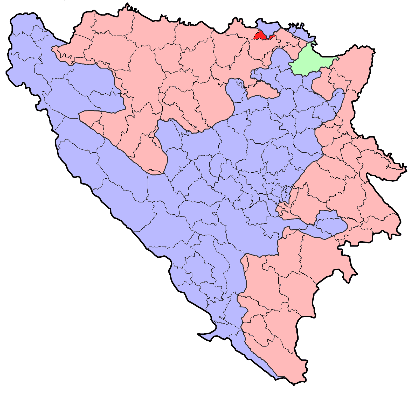
area_total_km2 =
population_blank1 = ?|population_blank1_title=Municipality
population_total = ?
|parts_type=Settlements
parts =
latd =45|latm=01
longd=18|longm=20
area_code = 53
website =
footnotes =
|leader_title=Mayor
leader_name = Amir Zahirović (SDP) [http://www.izbori.ba/documents/Rezultati%20izbora%202004/Utvrdjeni/2004NacelniciRS.pdf]
leader_party =
|Vukosavlje (
Cyrillic : Вукосавље) is a municipality inRepublika Srpska ,Bosnia and Herzegovina . It was created from part of the pre-war municipality ofOdžak (the other part of the pre-war municipality is now in theFederation of Bosnia and Herzegovina ).Geography
It is located between municipalities of
Odžak in the north,Šamac in the east,Modriča in the south, andBrod in the west.Demographics
In 2006, the largest ethnic group in the municipality were ethnic Serbs. [http://en.wikipedia.org/wiki/
 ]
] ee also
*
Municipalities of Republika Srpska External links
* [http://www.vladars.net/en/srpska/opstine.html Municipalities of Republika Srpska]
Wikimedia Foundation. 2010.