- Shire of Murrindindi
-
Shire of Murrindindi
Victoria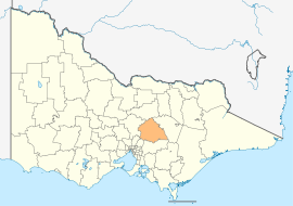
Location in VictoriaPopulation: 13,377(2009)[1] Established: 1994 Area: 3889 km² (1,501.6 sq mi) Mayor: Peter Beales Council Seat: Alexandra LGAs around Shire of Murrindindi: Mitchell Strathbogie Mansfield Mitchell Shire of Murrindindi Mansfield Nillumbik Yarra Ranges Yarra Ranges  Shire office at Yea, Victoria
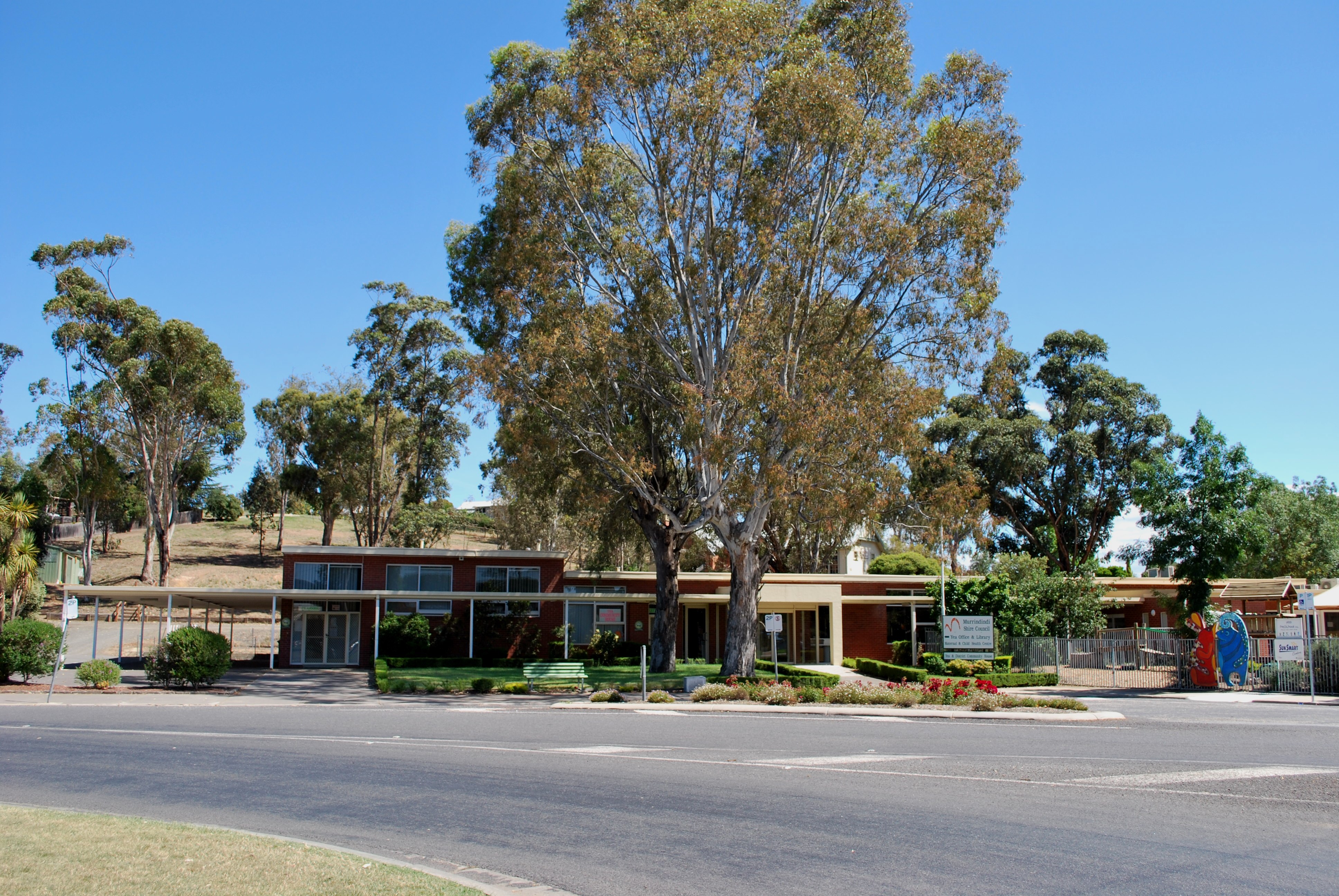
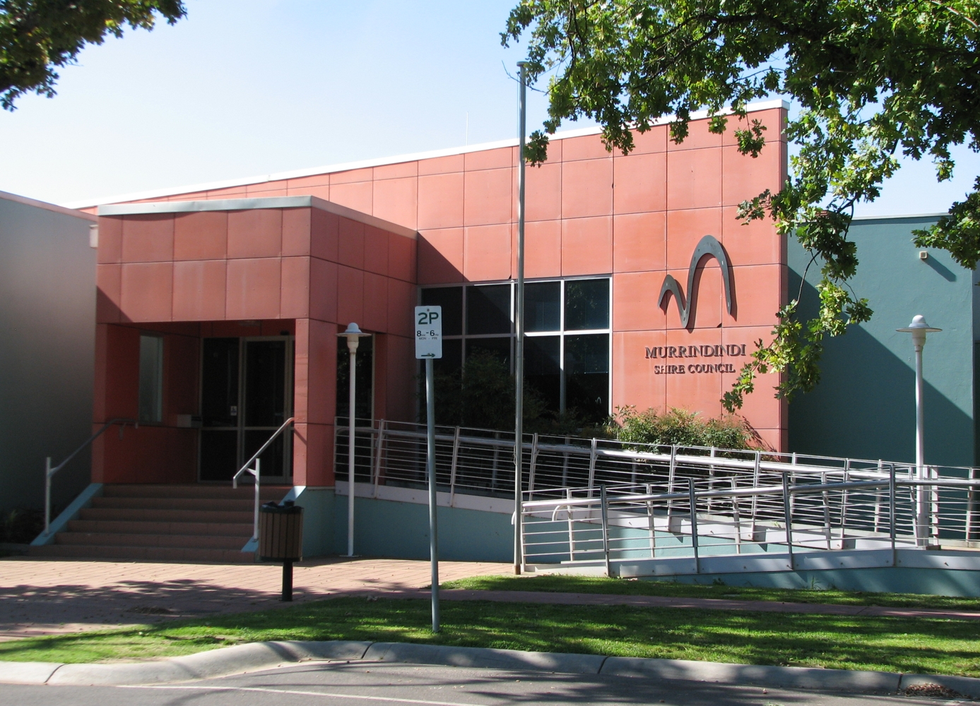
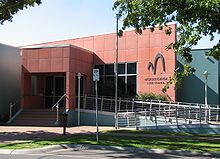 Shire office at Alexandra, Victoria
The Shire of Murrindindi is a Local Government Area in Victoria, Australia. It is located in the north-eastern part of the state, and includes the towns of Alexandra, Eildon, Kinglake and Yea. It has an area of 3,889 square kilometres, and at the 2006 Census it had a population of 13,672. The shire is named after the locality of Murrindindi which is near its geographical centre. Other minor towns within the shire include Kinglake West, Flowerdale, Strath Creek, Highlands, Molesworth, Yarck, Thornton, Taggerty, Glenburn, Toolangi, Buxton, Marysville and Narbethong. It was formed in 1994 from the merger of the Shire of Alexandra, Shire of Yea and parts of the Shire of Broadford, Shire of Eltham, Shire of Euroa, Shire of Healesville and City of Whittlesea.
Parts of Murrindindi were badly affected by the 2009 Victorian bushfires, notably the towns of Marysville and Kinglake. 106 people lost their lives across the Shire that day, including 38 in Kinglake and 34 in Marysville.
Contents
Wards
- Cathedral
- Cheviot
- Kinglake
- Eildon
- King Parrot, named after the creek
- Koriella
- Redgate, named after an earlier name for Alexandra
Each ward is represented by one elected Councillor.
See also
References
- ^ Australian Bureau of Statistics (30 March 2010). "Regional Population Growth, Australia, 2008–09". http://www.abs.gov.au/ausstats/abs@.nsf/Latestproducts/3218.0Main%20Features52008-09?opendocument&tabname=Summary&prodno=3218.0&issue=2008-09&num=&view=. Retrieved 3 June 2010.
External links
- Murrindindi Shire Council official website
- Camping in Murrindindi
- Metlink local public transport map
- Link to Land Victoria interactive maps
Towns in the Shire of Murrindindi Acheron • Alexandra • Buxton • Castella • Cheviot • Eildon • Flowerdale • Glenburn • Hazeldene • Highlands • Kinglake • Kinglake West • Limestone • Marysville • Molesworth • Murrindindi • Narbethong • Pheasant Creek • Strath Creek • Taggerty • Thornton • Toolangi • Yarck • Yea •
Local Government Areas of Victoria Greater Melbourne Inner MelbourneMetropolitanBanyule · Bayside · Boroondara · Darebin · Glen Eira · Hobsons Bay · Kingston · Maribyrnong · Maroondah · Monash · Moonee Valley · Moreland · WhitehorseOuter MetropolitanBrimbank · Cardinia · Casey · Frankston · Greater Dandenong · Hume · Knox · Manningham · Melton · Mornington Peninsula · Nillumbik · Whittlesea · Wyndham · Yarra RangesSouthwest Central Highlands and Goldfields Goulburn Valley Northeast Alpine · Benalla · Falls Creek Alpine Resort · Indigo · Lake Mountain Alpine Resort · Mansfield · Mount Buller Alpine Resort · Mount Hotham Alpine Resort · Mount Stirling Alpine Resort · Murrindindi · Towong · Wangaratta · WodongaGippsland Western District Wimmera The Mallee Coordinates: 37°20′00″S 145°30′00″E / 37.3333333°S 145.5°E
Categories:- Populated places established in 1994
- 1994 establishments in Australia
- Local Government Areas of Victoria (Australia)
- Australian Aboriginal placenames
- Australia government stubs

Wikimedia Foundation. 2010.