Utica Avenue (IND Fulton Street Line)

Utica Avenue (IND Fulton Street Line)

Infobox NYCS
name = Utica Avenue


bg_color = #11117D
line = IND Fulton Street Line
service = Fulton
platforms = 2 island platforms
tracks = 4
passengers = 4.204 million
pass_year = 2006
pass_percent = 7
borough = Brooklyn
open_date = April 9, 1936
north_line = IND Fulton Street Line
north_local_station = Kingston–Throop Avenues
north_local_service = Fulton local
north_express_station = Nostrand Avenue
north_express_service = Fulton express
south_line = IND Fulton Street Line
south_local_station = Ralph Avenue
south_local_service = Fulton local
south_express_station = Broadway Junction
south_express_service = Fulton express

Utica Avenue is an express station on the
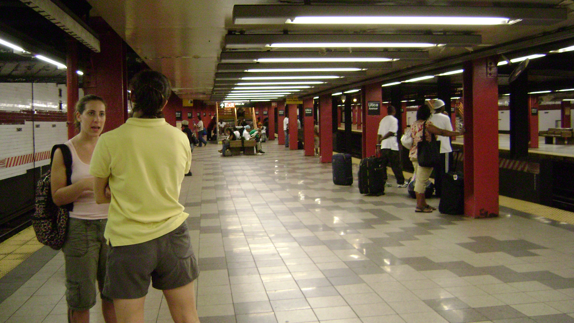
 IND Fulton Street Line of the New York City Subway. The tile color is maroon with a tuscan red border. The station has been renovated with new old-fashioned light fixtures with modern sodium-vapor lamps in them. They are suspended on long rods from the high, vaulted ceilings. There is a free crossover.

The center of the station slopes down and there is a lowered ceiling compared to the rest of the station. Above are unused platforms above intended for use as part of a major system expansion. Stairways to them have been removed, but possible evidence is present at ceiling level. It appears that there were four tracks and two island platforms running diagonally across the ceiling in the center of the station. Climbing the steps to the intermediate level, there are some locked doors which could serve as access to the unfinished platforms. There are additional exits at the extreme ends of each platform which bypass the intermediate level and go straight to the fare control level, the eastern one to Utica Avenue and the western one to Stuyvesant Avenue.

Between this station and Ralph Avenue, there is a fifth track, which could be used for storage or turning trains, although it is not normally used for this purpose.

Artwork here was made in 1996 by Jimmy James Green and is called "Children's Cathedral".

Gallery

Bus connection

*B46 via Utica Avenue to Kings Plaza or via Malcolm X Boulevard/Broadway to Williamsburg

External links

*NYCS ref|http://www.nycsubway.org/perl/stations?217:2885|IND Fulton|Utica Avenue
*Station Reporter — [http://www.stationreporter.net/aleff.htm A Lefferts]
*Station Reporter — [http://www.stationreporter.net/arock.htm A Rockaway]
*Station Reporter — [http://www.stationreporter.net/ctrain.htm C Train]


Wikimedia Foundation. 2010.

Игры ⚽ Поможем написать курсовую

Look at other dictionaries:

  • Nostrand Avenue (IND Fulton Street Line) — Nostrand Avenue …   Wikipedia

  • Ralph Avenue (IND Fulton Street Line) — Infobox NYCS name = Ralph Avenue bg color = #11117D image caption = Northern staircase line = IND Fulton Street Line service = Fulton local platforms = 2 side platforms tracks = 4 passengers = 1.371 million pass year = 2006 pass percent = 7… …   Wikipedia

  • Kingston–Throop Avenues (IND Fulton Street Line) — Infobox NYCS name = Kingston–Throop Avenues bg color = #11117D line = IND Fulton Street Line service = Fulton local platforms = 2 side platforms tracks = 4 passengers = 1.500 million pass year = 2006 pass percent = 4 borough = Brooklyn connection …   Wikipedia

  • Fulton Street (Brooklyn) — Fulton Mile shopping district at Franklin Avenue Fulton Street …   Wikipedia

  • Utica Avenue (New York City Subway) — The following stations on the New York City Subway share the name Utica Avenue. *Crown Heights–Utica Avenue on the IRT Eastern Parkway Line *Utica Avenue on the IND Fulton Street LineIn addition, a Utica Avenue Line was proposed, but never built; …   Wikipedia

  • Myrtle Avenue Line (surface) — This article is about the surface line on Myrtle Avenue, from Downtown Brooklyn east to Ridgewood, Queens. For the continuation along Myrtle Avenue to Richmond Hill, Queens, see Richmond Hill Line. The Myrtle Avenue Line is a surface transit line …   Wikipedia

  • Crosstown Line (Brooklyn surface) — The Crosstown Line is a public transit line in Brooklyn, New York City, United States, running along Van Brunt Street and Manhattan Avenue between Red Hook and Long Island City, Queens. Originally a streetcar line, it is now the B61 and the B62… …   Wikipedia

  • Vanderbilt Avenue Line — The Vanderbilt Avenue Line is a public transit line in Brooklyn, New York City, running along 7th Avenue and Vanderbilt Avenue between Kensington and Dumbo. Originally a streetcar line, it is now the B69 bus route, operated by MTA New York City… …   Wikipedia

  • Sumner Avenue Line and New Lots Avenue Line — The Sumner Avenue Line and New Lots Avenue Line were two streetcar lines in Brooklyn, New York City, running mainly along Marcus Garvey Boulevard (formerly Sumner Avenue), East 98th Street, and New Lots Avenue between northern Bedford Stuyvesant… …   Wikipedia

  • Ютика-авеню (линия Фултон-стрит, Ай-эн-ди) — «Ютика авеню» «Utica Avenue» …   Википедия

Share the article and excerpts

Direct link
Do a right-click on the link above
and select “Copy Link”