- County Route 55 (Monmouth County, New Jersey)
-
County Route 55
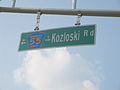
Kozloski Road
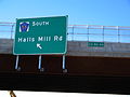
Hall's Mill RoadRoute information Length: 3.60 mi[1] (5.8 km) Existed: 1980 – present Major junctions South end: Hall's Mill Road / Willowbrook Road in Freehold Township 
 Route 33 Bus. in Freehold Twp
 CR 537 in Freehold Twp
 CR 46 in Freehold Twp
North end:  Route 79 in Freehold Twp
Highway system County routes in New Jersey
500-series • County routes in Monmouth County←  CR 54
CR 54CR 56  →
→County Route 55 is a county highway in Monmouth County, New Jersey, locally known as Hall's Mill Road south of Route 33 Business and as Kosloski Road north of Route 33 Business.
Contents
Route description
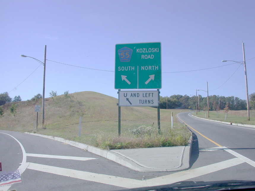
Hall's Mill Road carries the CR 55 designation starting at the intersection of Willowbrook Road (just north of Route 33) in Freehold Township. From there, the highway extends 3.6 miles (5.8 km) north to Marlboro Road (Route 79) in East Freehold. CR 55 is the north–south bypass of Freehold and U.S. Route 9. Recent construction extended CR 55's original 2.08 miles (3.35 km) length further north by about 1.5 miles (2.4 km) from its original north end at Colts Neck Road (CR 537) to Route 79.[2] The four-lane highway has an overpass that allows for a U-turn and left turn from CR 537 westbound. South of CR 537, the highway is dualized with a grassy median and very limited driveways. An overpass with Route 33 Business was opened to drivers in May 2006. The overpass eliminated the traffic light along the CR 55 alignment and allows for free flow of traffic.
History
Construction began in the summer of 1978 on what was then known as the "East Freehold Road Realignment", which was to both serve as a bypass route for Freehold and as access to several county facilities in the area. Sharp curves were eliminated, and residential areas such as Weaverville were bypassed. On March 8, 1980, the Board of Chosen Freeholders officially took over East Freehold Road and Hall's Mill Road from CR 537 to Willowbrook Road.[3] Shortly thereafter it was renamed north of the present Route 33 Business in memory of the late Assemblyman Walter J. Kozloski (D-Monmouth). Kozloski Road has since been extended north to Route 79.
Plans are in place to reconstruct Halls Mill Road from south of the Route 33 Bypass to CR 524. The entire highway is an important commuter connection to the outer points of Freehold and between Route 33 and CR 537.
The section just south of CR 46 was the site of a major accident that took place on January 10, 2007, and claimed the lives of four people. The accident gained major regional media attention.[4] The impact on the town was great and with other numerous teenage accidents around the state of New Jersey, laws are being set up to be put into place to reduce the injuries and deaths of teenagers.
-
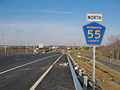
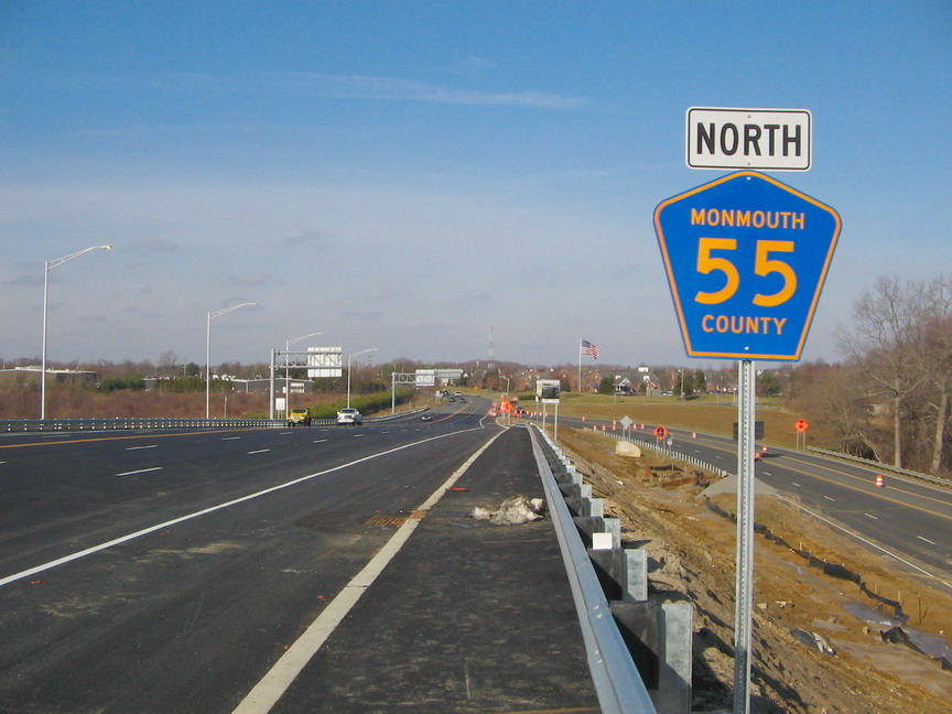
A view of CR 55 northbound from the new overpass over Route 33 Business
-
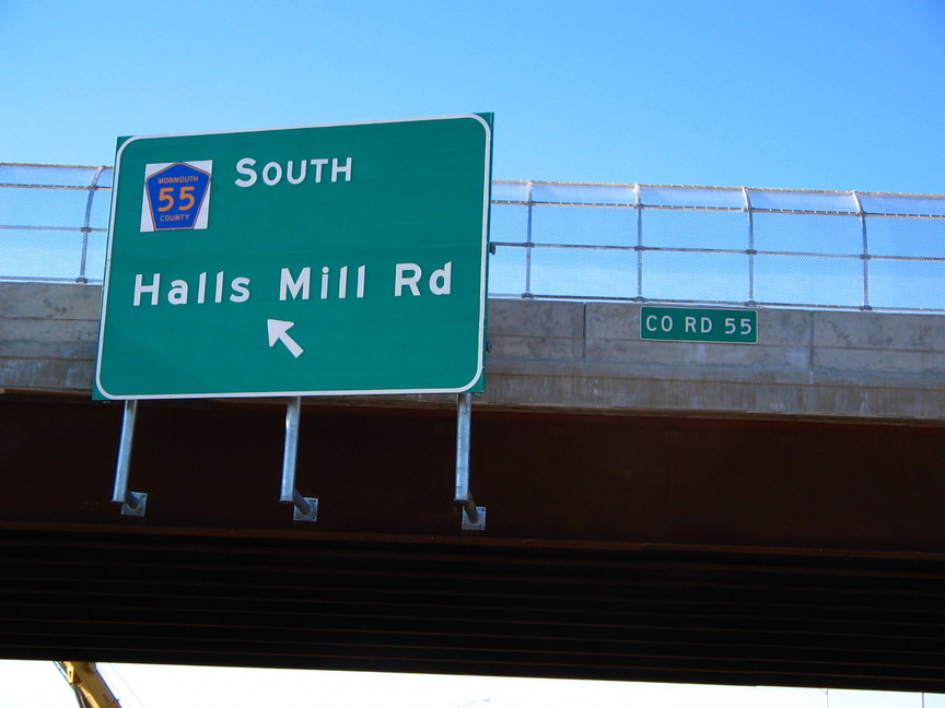
Signage for CR 55 south on Route 33 Business west
-
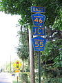
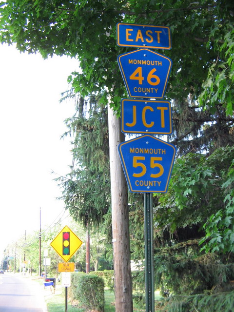
Signage for CR 55 at County Route 46
-
Signage for CR 55 on CR 46 east, between the old and new intersections
-
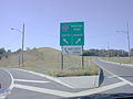
Signage for CR 55 on the access ramp to make a wide right turn or go under the expressway to make a U-turn
See also
 U.S. Roads portal
 New Jersey portal
References
- ^ County Roads Straight Line Diagrams, Prepared by the Monmouth County Planning Board, April 10, 2006.
- ^ County Roads Straight Line Diagrams, Prepared by the Monmouth County Planning Board, April 10, 2006.
- ^ Resolution No. 80-168, Monmouth County Board of Chosen Freeholders, March 8, 1980
- ^ Freehold students light candles for friends killed in crash, Asbury Park Press, January 11, 2007
External links
Categories:- Transportation in Monmouth County, New Jersey
- County routes in New Jersey
-


Wikimedia Foundation. 2010.