- Pidurutalagala
-
Pidurutalagala Mount Pedro 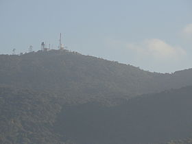
Radio equipment at the summit of the mountainElevation 2,524 m (8,281 ft) Prominence 2,524 m (8,281 ft) Listing Country high point
UltraLocation 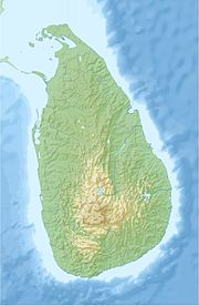
 Pidurutalagala
 Sri Lanka
Range Pidurutalagala Coordinates 07°00′03″N 80°46′26″E / 7.00083°N 80.77389°ECoordinates: 07°00′03″N 80°46′26″E / 7.00083°N 80.77389°E Pidurutalagala (Sinhala: පිදුරුතලාගල, pronounced [ˌpidurutaˈlaːɡələ], Straw Plateau Rock), or Mount Pedro in English, is an ultra prominent peak, and the tallest mountain in Sri Lanka, at 2,524 m (8,281 ft).[1] Mount Pedro is located close to the city of Nuwara Eliya, and is easily visible from most areas of the Central Province.
It's summit is home to the central communications array of the Government of Sri Lanka and armed forces, and serves as an important point in the country's radar system. The peak is currently designated as an "Ultra-high security zone", and is protected by a large military base; being strictly off limits to the general public.
On the 1st of March 2010, a small wildfire broke out over the mountain's forest cover. The fire destroyed 3 acres (0.012 km2) of forest, before being doused by the Sri Lanka Air Force and nearly 300 local residents.[2][3]
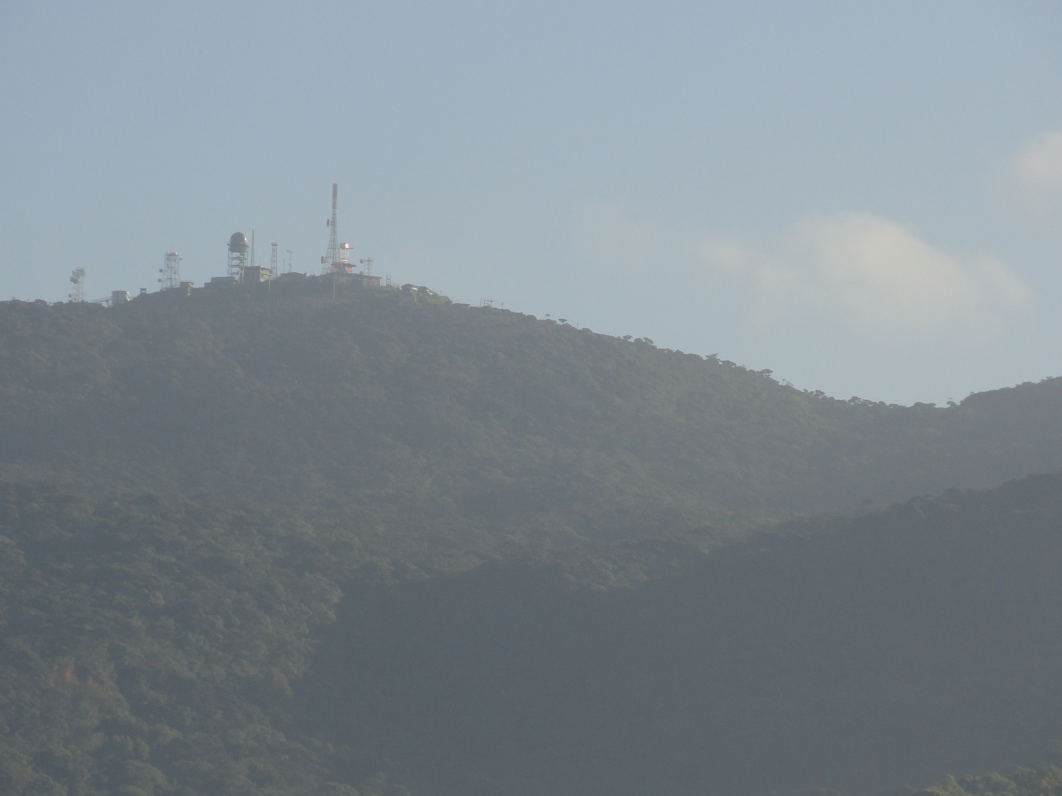
 The Pidurutalagala mountain range, with radio equipment visible at the summit of Mount Pedro, on the far left.
See also
- Geography of Sri Lanka
- List of mountains in Sri Lanka
- Extreme points of Sri Lanka
References
- ^ Encyclopedia Britannica. "Mount Pidurutalagala" (in English). http://www.britannica.com/EBchecked/topic/459678/Mount-Pidurutalagala. Retrieved 21 April 2011.
- ^ "Fire erupts at Mount Pedro" (in English). Newsfirst.lk. 1. http://www.newsfirst.lk/index.php?option=com_content&view=article&id=8625. Retrieved 21 April 2011.
- ^ "Residents help army and forest officers to douse pidurutalagala fire" (in English). Newsfirst.lk. 2. http://www.newsfirst.lk/index.php?option=com_content&view=article&id=8650. Retrieved 21 April 2011.
Categories:- Sri Lanka geography stubs
- Mountains of Sri Lanka


Wikimedia Foundation. 2010.