- Meerkerk
-
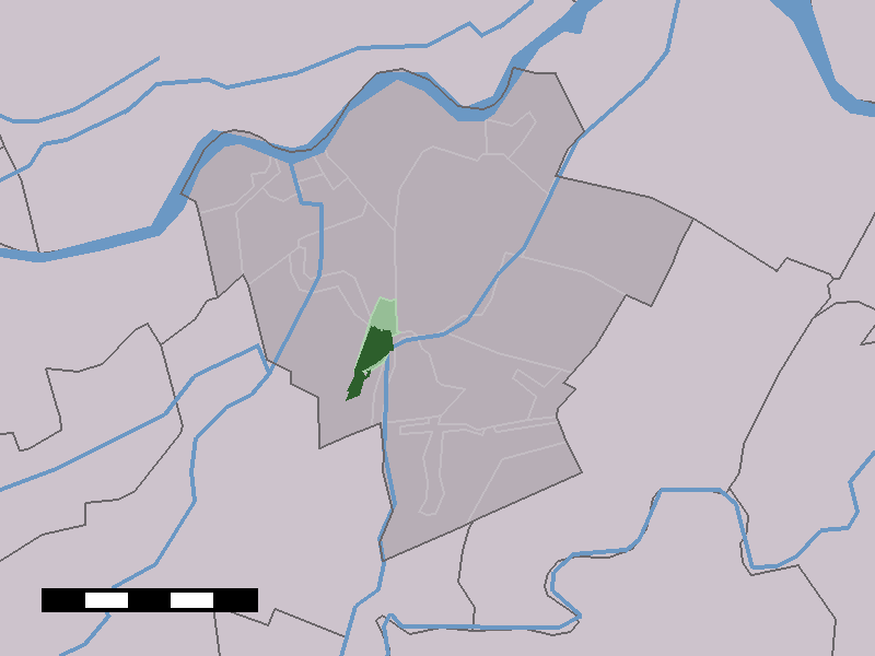
Meerkerk 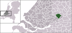 The town centre (dark green) and the statistical district (light green) of Meerkerk in the municipality of Zederik.
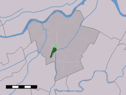
Country Netherlands Province Zuid-Holland Municipality Zederik Population ca. 3,600 Meerkerk is a town in the Dutch province of South Holland. It is a part of the municipality of Zederik, and lies about 9 km north of Gorinchem.
In 2001, the town of Meerkerk had 2281 inhabitants. The built-up area of the town was 0.71 km², and contained 818 residences.[1] The statistical area "Meerkerk", which also can include the surrounding countryside, has a population of around 2310.[2]
History
Not much is known of Meerkerk's early history. According to municipal sources, the town was first mentioned in a clerical document, written in 1266 or 1267AD. The origins of the name 'Meerkerk' (Literally translated: 'Lakechurch') are unclear, though it is probable it derived from 'De Kerk bij het Meer', meaning 'The Church by the Lake', referring to several small strips of land called 'Het Meer' (The Lake).
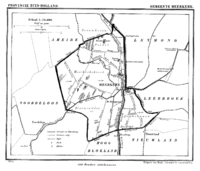 Meerkerk in 1866.
In the early centuries of its existence the village played an important role in regional traffic, due to its favourable location by the river Viaanse Vaart. During the French occupation of the Netherlands in the early 19th century Napoleon Bonaparte ordered the construction of a major road connection between Paris and Amsterdam, passing through Meerkerk as well. According to local legend, the emperor himself once spent some time in Meerkerk during an official visit to the Netherlands. The main road was made by the army of Napoleon, and it was the first road of stone in the region.
Meerkerk was a separate municipality until 1986, when it became part of Zederik.[3]
Since 1886 the Zederik Channel passes the town, maintaining Meerkerk's importance to regional traffic. By the end World War II the municipality expanded its borders, giving the population a chance to increase to some 2500 souls.
References
- ^ Statistics Netherlands (CBS), Bevolkingskernen in Nederland 2001. (Statistics are for the continuous built-up area).
- ^ Statistics Netherlands (CBS), Statline: Kerncijfers wijken en buurten 2003-2005. As of 1 January 2005.
- ^ Ad van der Meer and Onno Boonstra, "Repertorium van Nederlandse gemeenten", KNAW, 2006. [1]
Coordinates: 51°55′N 5°0′E / 51.917°N 5°E
Categories:- Populated places in South Holland
- Former municipalities of South Holland
- South Holland geography stubs


Wikimedia Foundation. 2010.