- Whitchurch-Stouffville
:"There are other uses for the term Whitchurch."
Infobox Settlement
official_name = Town of Whitchurch-Stouffville
other_name =
native_name =
nickname =
settlement_type =Town
motto = Country close to the city.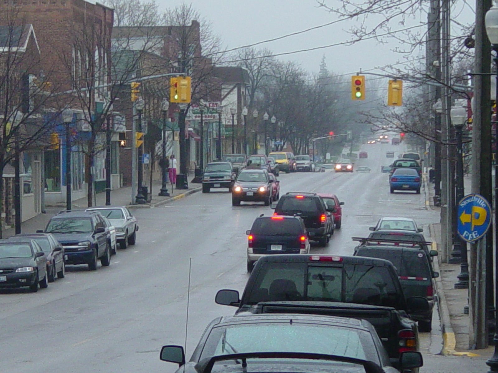
imagesize = 170px
image_caption = Main Street, Whitchurch-Stouffville
flag_size = 100px
image_
seal_size =
image_shield = Whitchurch-Stouffville crest.svg
shield_size = 100px
image_blank_emblem = Whitchurch-Stouffville logo.svg
blank_emblem_size = 100px
mapsize = 150px
map_caption = Whichurch-Stouffville's location withinYork Region, Ontario .
mapsize1 =
map_caption1 =
image_dot_
dot_mapsize =
dot_map_caption =
dot_x = |dot_y =
pushpin_
pushpin_label_position =
pushpin_map_caption =
pushpin_mapsize =
subdivision_type =Country
subdivision_name =
subdivision_type1 = Province
subdivision_name1 =
subdivision_type2 =Regional Municipality
subdivision_name2 = York
subdivision_type3 =
subdivision_name3 =
subdivision_type4 =
subdivision_name4 =
government_footnotes =
government_type = Municipality
leader_title =Mayor
leader_name = Wayne Emmerson
leader_title1 =Councillor
leader_name1 = Ken Ferdinands
Phil Bannon
Clyde Smith
Susanne Hilton
Richard Bartley
Rob Hargrave
leader_title2 =
leader_name2 =
leader_title3 =
leader_name3 =
leader_title4 =
leader_name4 =
established_title = Incorporated
established_date = (As township of Whitchurch)
1792
established_title2 = Amalgamation
established_date2 = (With Town of Stouffville)January 1 ,1971
established_title3 =
established_date3 =
area_magnitude =
unit_pref =
area_footnotes = cite web|url=http://www12.statcan.ca/english/census06/data/profiles/community/Details/Page.cfm?Lang=E&Geo1=CSD&Code1=3519044&Geo2=PR&Code2=35&Data=Count&SearchText=stouffville&SearchType=Begins&SearchPR=01&B1=All&Custom=|title=Community highlights for Whitchurch-Stouffvile|publisher=Statistics Canada |date=2007-03-13 |accessdate=2007-03-13]
area_total_km2 = 206.74
area_land_km2 =
area_water_km2 =
area_total_sq_mi =
area_land_sq_mi =
area_water_sq_mi =
area_water_percent =
area_urban_km2 =
area_urban_sq_mi =
area_metro_km2 =
area_metro_sq_mi =
population_as_of = 2006
population_footnotes = cite web|url=http://www12.statcan.ca/english/census06/data/profiles/community/Details/Page.cfm?Lang=E&Geo1=CSD&Code1=3519044&Geo2=PR&Code2=35&Data=Count&SearchText=stouffville&SearchType=Begins&SearchPR=01&B1=All&Custom=|title=Community highlights for Whitchurch-Stouffvile|publisher=Statistics Canada |date=2007-03-13 |accessdate=2007-03-13]
population_note = From StatsCan
population_total = 24390
population_density_km2 = 118
population_density_sq_mi =
population_metro =
population_density_metro_km2 =
population_density_metro_sq_mi =
population_urban =
population_density_urban_km2 =
population_density_urban_sq_mi =
population_blank1_title = Population Growth (2001-2006)
population_blank1 = +10.8%
population_density_blank1_km2 = |population_density_blank1_sq_mi =
timezone =EST
utc_offset = −5
timezone_DST =EDT
utc_offset_DST = −4
latd=43 |latm=58 |lats= |latNS=N
longd=79 |longm=15 |longs= |longEW=W
elevation_footnotes =
elevation_m =
elevation_ft =
postal_code_type = Postal Code
postal_code = L0H (Gormley)
L4A (Stouffville, Vandorf)
area_code = 905
blank_name =
blank_info =
blank1_name =
blank1_info =
website = [http://www.townofws.com Town of Whitchurch-Stouffville's Official Site]
footnotes =Whitchurch-Stouffville (2006 population 24,390) is a municipality in the
Greater Toronto Area ofOntario ,Canada . Situated in the mid-eastern area of the Regional Municipality of York, Whitchurch-Stouffville primarily functions as abedroom community for the City of Toronto and its environs. Though the municipal government is styled as a singular "town," Whitchurch-Stouffville in fact consists of several detached communities and the intermediary countryside; the largest urban area is Stouffville, while other settlements include Gormley, Ballantrae and Musselman Lake.On
November 13 2006 , Wayne Emmerson was re-elected mayor of Whitchurch-Stouffville. [http://www.ctv.ca/servlet/HTMLTemplate/%21ctv/SingleRacing?racing=241&racing_name=tor2006]Location
Whitchurch-Stouffville is located approximately 24 kilometres north of the City of Toronto. It is bounded by Davis Drive in the north, Regional Road 30 in the east, and Highway 404 in the west. The southern boundary conforms with a position approximately 200 metres north of 19th Avenue, and is irregular due to the annexation of lands formerly part of Markham Township in
1971 . [http://www.townofws.com/profile/index.php?display=history5]Transportation
Motor traffic is served primarily by Ontario provincial Highway 48 and Highway 404, which are in turn complimented by a network of regional roads that form a grid pattern across the town.
Whitchurch-Stouffville is traversed by two rail lines owned by
Canadian National Railway . One is CN's primary freight corridor connecting Greater Toronto to Northern Ontario and Western Canada, while the other, formerly theToronto and Nipissing Railway , is used byGO Transit to provide passenger service toToronto as theStouffville line . This line includes two stations in Whitchurch-Stouffville: theStouffville GO Station in Stouffville proper, and the line's terminus,Lincolnville GO Station , located to Stouffville's northeast.York Region Transit (YRT) and GO Transit operate bus services in Whitchurch-Stouffville.
Education
Whitchurch-Stouffville is home to several public and catholic schools: [http://www.townofws.com/profile/index.php?display=schools]
Public Elementary Institutions:
*Ballantrae Public School
*Glad Park Public School
*Orchard Park Public School
*Summitview Public School
*Whitchurch Highlands Public School
* Harry Bowes Public School
* Oscar Peterson Public School Public Secondary Institutions:
*Stouffville District Secondary School Catholic Elementary Institutions:
*Saint Marks Elementary
*Saint Brigid ElementaryPrivate Institutions:
*Stouffville Christian SchoolAs the town continues to expands, new facilities are being constructed to accommodate the increasing number of school-aged children in the community. In
2006 , construction was begun on a new facility to replace the aging Stouffville District Secondary School, and students entered it's doors in September2007 . Located near the intersection of Weldon and Hoover Park Drive (part of a major suburban expansion project), it accommodates approximately 1,500 students. [http://www.yorkregion.com/yr/yr4/YR_News/Newscentre/Sun_Tribune/story/3681831p-4256254c.html] Catholic school students graduating grade 8 may be bused toBrother André Catholic High School in Markham, or switch to the public system and attend Stouffville District SS.*Stouffville Montessori School
Stouffville Montessori School is located on a half acre of land on Ninth Line just South of Hoover Park Drive. The Montessori School is owned and operated by Giorgina E.T. Robinson, with 21 years teaching experience with children 2 1/2 to 12 years of age. Giorgina is also a retired Principal and Administrator of an elementary school, AMI trained in Casa and Elementary. The Montessori School offers full and half day programs, with before and after school care available as well. Regular classes run from September to June, while summer classes run in the months of July and August. [http://www.stouffvillemontessori.com]
There are currently no post-secondary education facilities located in Whitchurch-Stouffville.
History
Whitchurch Township was created in
1792 as one of ten townships in York County. It was named in honour of the village ofWhitchurch, Herefordshire in,England , whereElizabeth Simcoe (wife ofUpper Canada Lieutenant Governor Sir John Graves Simcoe ) was born. Between1800 and1802 , John Stegman completed a survey of the township which created a system of land concessions. This allowed for the organized distribution of land to settlers, with each concession containing five, convert|200|acre|km2|sing=on lots. This layout remains visible today, as the road network in the area reflects the locations of the boundaries between concession blocks. [http://www.townofws.com/profile/index.php?display=history1]Early settlers of this period included
Quaker s andMennonite s, from the nearby American states ofPennsylvania ,Vermont and New York. They also included Hessian soldiers, who had been granted land in Upper Canada by Britain in exchange for their service theAmerican Revolution against the13 colonies . Several settlers also established mill sites to process the timber that was cleared from the land, which led to the creation of hamlets at travel intersections throughout the township. Stoufferville was one such hamlet, which grew around the saw and grist mills of Mennonite settler Abraham Stouffer. When apost office was established there in1832 , the name was shortened to Stouffville. [http://www.townofws.com/profile/index.php?display=history2]In
1877 , the Village of Stouffville was separated from the township. Stouffville's growth was aided by the establishment of theToronto and Nipissing Railway , built in1871 , which connected Stouffville withToronto . This connection was created in large part to provide a reliable and efficient means of exporting timber harvested and milled there. [http://www.townofws.com/profile/index.php?display=history3]Forestry led to large-scaledeforestation , eroding the thin soils of northern Whitchurch into sanddeserts .Reforestation efforts were begun locally, and with the passage of the Reforestation Act (1911), the process of reclaiming these areas began. Vivian forest, a large conservation area in northern Whitchurch-Stouffville that remains in existence today, was established in 1924 for this purpose. There are currently around 5,000 acres (20 km²) of reforested land, managed by York Region, in Whitchurch-Stouffville. [http://www.townofws.com/profile/index.php?display=history4]The
suburban expansion of Toronto in the mid-20th century led to a reexamination at the provincial level ofmunicipal governance. OnJanuary 1 ,1971 , Whitchurch Township and the Village of Stouffville were merged to create the Town of Whitchurch-Stouffville. In addition to the merger, the southern boundary of the town was moved four farm lots south of the original southern boundary of Main Street. This land was formerly a part of Markham Township, and meant that for the first time, residents along the south side on Main Street were legally a part of the town. [http://www.townofws.com/profile/index.php?display=history5]Media
The town is currently served by two local community newspapers: the "Stouffville Free Press" and the "Stouffville Sun-Tribune". A
community radio station,CIWS-FM , launched in 2008.Statistics
According to the
2006 Statistics Canada Censuscite web|url=http://www12.statcan.ca/english/census06/data/profiles/community/Details/Page.cfm?Lang=E&Geo1=CSD&Code1=3519044&Geo2=PR&Code2=35&Data=Count&SearchText=stouffville&SearchType=Begins&SearchPR=01&B1=All&Custom=|title=Community highlights for Whitchurch-Stouffvile|publisher=Statistics Canada |date=2007-03-13 |accessdate=2007-03-13]
*Population: 24,390 according to the 2006 census, estimated to be 30,000 as of December 2007 [ [http://www.memorialandbethesdaparks.ca/progress/ Town of Whitchurch-Stouffville: Memorial and Bethesda Park Plans ] ]
*% Change (2001 -2006 ] ): 10.8
*Dwellings: 8,898
*Area (km²): 206.74
*Density (persons per km²): 118
*Average Household Income: $110,000 (from 2001 census data)References
External links
* [http://www.townofws.com/ Town of Whitchurch-Stouffville official website]
* [http://ontarioplaques.com/Plaque_York25.html Ontario Plaques - Founding of Stouffville]
* [http://ontarioplaques.com/Plaque_York26.html Ontario Plaques - Whitchurch Quaker Settlement]
* [http://www.prestonlake.org/ Preston Lake website]Canadian City Geographic Location
North=East Gwillimbury
West=Newmarket, Aurora, Richmond Hill
Center=Whitchurch-Stouffville
East=Uxbridge
South=Markham
Wikimedia Foundation. 2010.