- Montlake Cut
-
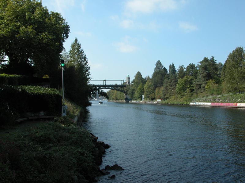
 Montlake Cut, looking west
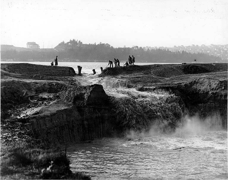
 This log sluice connecting Portage Bay to Lake Washington pre-dates the Montlake Cut; seen here in 1886.
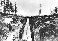
 Photo titled "Cutting away the cofferdam at the Montlake Cut between Lake Washington and Lake Union." Text on back of photo reads "Letting Lake Union into Lake Washington Canal - Dec. 1913."
The Montlake Cut is the easternmost section of the Lake Washington Ship Canal, which passes through the city of Seattle, linking Lake Washington to Puget Sound. It is approximately 2,500 feet (760 m) long and 350 feet (110 m) wide. The center channel is 100 feet (30 m) wide and 30 feet (9.1 m) deep.
The Cut provides a connection between Union Bay, part of Lake Washington, to the east and Portage Bay, an arm of Lake Union, to the west. It is spanned by the Montlake Bridge, a bascule drawbridge carrying Montlake Boulevard (State Route 513). Most of the land on the north shore of the Cut is occupied by the University of Washington, its medical school to the west and its stadium parking lot to the east; residences and a recreational trail occupy the south bank, which is part of the Montlake neighborhood. It is the site of the annual Windermere Cup crew regatta and the Seattle Yacht Club's Opening Day Boat Parade, both of which take place on the first Saturday in May.
The Montlake Cut's original name was Erickson Cut. Contractor C.J. Erickson commenced the big project in turning on his big steam shovel in celebration of the Oct. 27, 1909, post AYP Exposition era,in the final push to complete the Lake Washington Canal project. At the ceremony were Judge Roger S. Greene, Judge Thomas Burke, J.S. Brace and John H. McGraw who turned the first shovel of dirt that day.
The Duwamish called the area "Carry a Canoe" (Lushootseed: sxWátSadweehL). Indigenous people had been portaging between the lakes for centuries, either carrying canoes or shoving them along an intermittent creek that appeared when Lake Washington overflowed.[1]
References
Coordinates: 47°38′50″N 122°18′16″W / 47.64718°N 122.30435°W
Erickson: "Canal Work Begins Today,Seattle to Celebrate Commencement of Big Project", Oregonian News, Oct. 27th, 1909
Categories:- Buildings and structures in Seattle, Washington
- Transportation in Seattle, Washington

Wikimedia Foundation. 2010.