- Dětmarovice
-
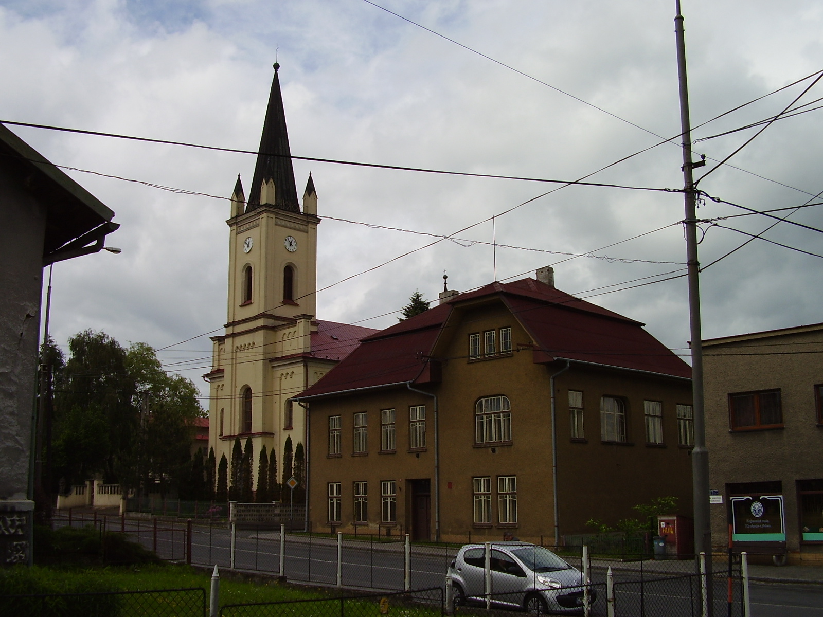
Dětmarovice — Village — Mary Magdalene Church
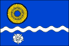
Flag
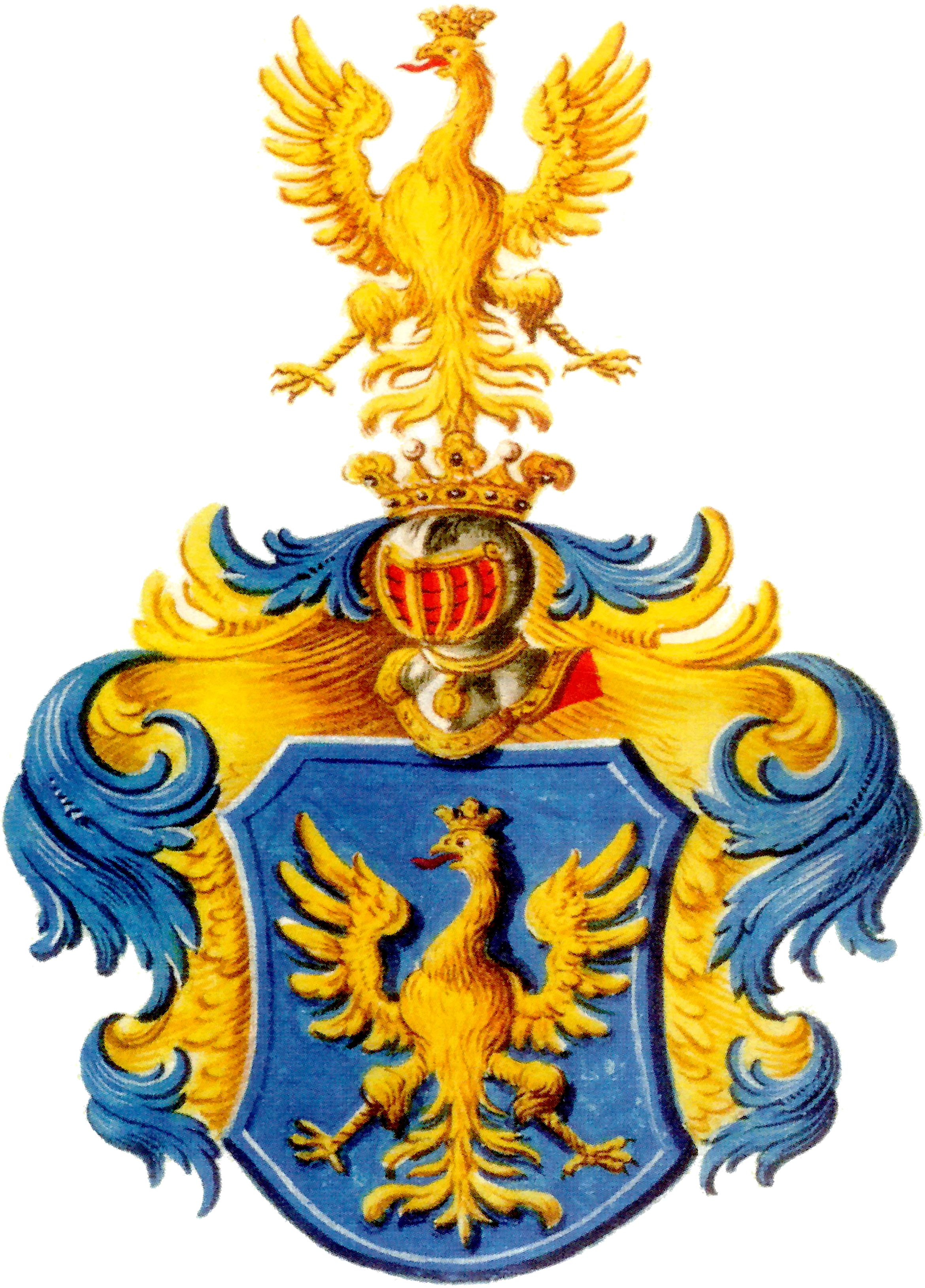
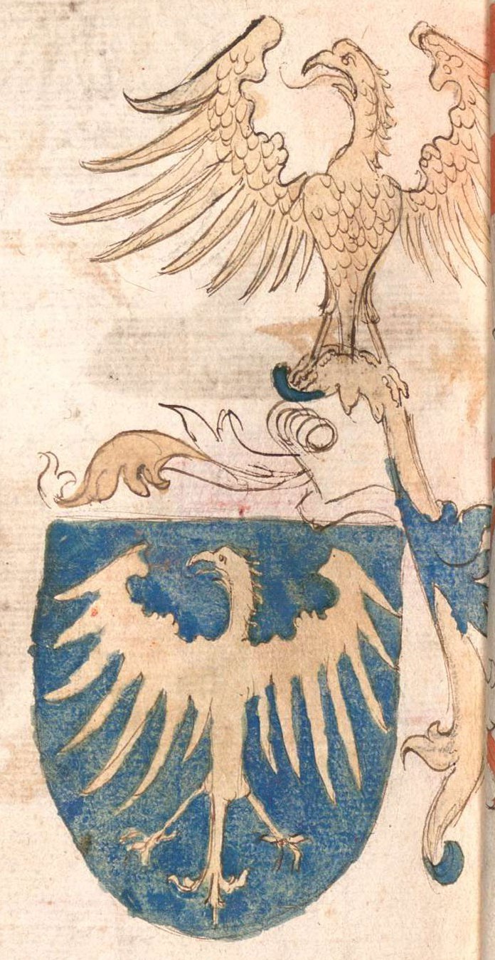
Coat of armsLocation in the Czech Republic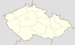

Coordinates: 49°53′12″N 18°27′44″E / 49.88667°N 18.46222°E Country Czech Republic Region Moravian-Silesian District Karviná First mentioned 1305 Government - Mayor Ladislav Rosman Area - Total 13.76 km2 (5.3 sq mi) Elevation 214 m (702 ft) Population (2006) - Total 3,886 - Density 282.4/km2 (731.4/sq mi) Postal code 735 71 Website http://www.detmarovice.cz/  Dětmarovice (help·info) (Polish: Dziećmorowice , German: Dittmarsdorf) is a village in the Karviná District, Moravian-Silesian Region, Czech Republic, on the Olza River. It lies near the border with Poland, in the historical region of Cieszyn Silesia. Near the right bank of the Olza lies a complex of 15 ponds.
The village was first mentioned in a written document in 1305; at that time it was owned by the Dukes of Cieszyn. The village was bought in 1792 by Jan Larisch who joined it with its Karwin properties. It was owned by the Larisch family until 1927.
After the division of Cieszyn Silesia in 1920, the village became part of Czechoslovakia as Dětmarovice. Following the Munich Agreement, in October 1938, Dětmarovice and the whole Zaolzie region were annexed by Poland. The village was then annexed by Nazi Germany at the beginning of World War II. After the war it was restored to Czechoslovakia.
Historical landmarks include the Nebroj chapel from around 1860 and a Catholic Mary Magdalene Church built in 1869-1870 in Neo-Romanesque style.
There is a large thermal power station in the village. It was built in 1971-1976. It is the only large thermal power station in the country burning black coal. In 1998 a filter reducing the air pollution was installed. The power station is situated on an important main railway line from Prague/Vienna to Warsaw. Another important line to Český Těšín - Žilina - Košice splits here from the line to Warsaw.
See also
References
- Cicha, Irena; Kazimierz Jaworski, Bronisław Ondraszek, Barbara Stalmach and Jan Stalmach (2000). Olza od pramene po ujście. Český Těšín: Region Silesia. ISBN 80-238-6081-X.
External links
- (Czech) Official website
- (Czech) Unofficial website
Towns and villages of Karviná District Albrechtice · Bohumín · Český Těšín · Dětmarovice · Dolní Lutyně · Doubrava · Havířov · Horní Bludovice · Horní Suchá · Chotěbuz · Karviná · Orlová · Petrovice u Karviné · Petřvald · Rychvald · Stonava · TěrlickoCoordinates: 49°53′12″N 18°27′44″E / 49.88667°N 18.46222°E

This Moravian-Silesian Region location article is a stub. You can help Wikipedia by expanding it.