- Benningbroek
Dutch town locator maps
mun_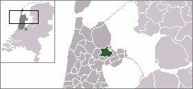
town_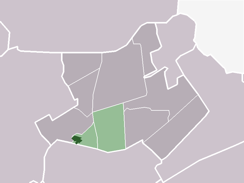
caption = The town centre (dark green) and the statistical district (light green) of Benningbroek in the municipality of Noorder-Koggenland.Benningbroek (coord|52|42|N|5|0|E|type:city(871)) is a town in the Dutch province of
North Holland . It is a part of the municipality ofNoorder-Koggenland , and lies about 7 km northwest ofHoorn .In 2001, the town of Benningbroek had 871 inhabitants. The built-up area of the town was 0.16 km², and contained 331 residences.Statistics Netherlands (CBS), "Bevolkingskernen in Nederland 2001" [http://www.cbs.nl/nl-NL/menu/themas/milieu-natuur-ruimte/ruimte/publicaties/cartografie-geografie/geografische-data/2001-bevolkingskernen-in-nederland.htm] . Statistics are for the continuous built-up area.] The wider statistical area of Benningbroek has a population of around 1350.Statistics Netherlands (CBS), "Gemeente Op Maat 2004: Noorder-Koggenland" [http://www.cbs.nl/nl-NL/menu/themas/nederland-regionaal/nederland-regionaal/publicaties/gemeente-op-maat/2004/alfabet/N/2004-noorder-koggenland.htm] .] This includes a long ribbon of residences along the road to
Midwoud in the east. On the west, Benningbroek has merged withSijbekarspel .References
Wikimedia Foundation. 2010.