- New York State Route 113
-
This article is about the current alignment of NY 113. For the former alignment of NY 113 in Suffolk County, see New York State Route 113 (1930–1972).
NYS Route 113
Spackenkill Road 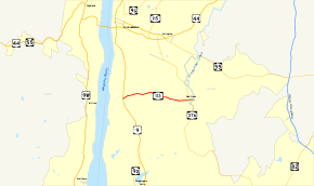
Map of the Poughkeepsie area with NY 113 highlighted in redRoute information Maintained by NYSDOT Length: 3.18 mi[2] (5.12 km) Existed: April 1, 1980[1] – present Major junctions West end:  US 9 in Poughkeepsie
East end:  NY 376 in Poughkeepsie
Location Counties: Dutchess Highway system Numbered highways in New York
Interstate • U.S. • N.Y. (former) • Reference • County←  NY 112
NY 114  →
→New York State Route 113 (NY 113) is an east–west state highway located southeast of the city of Poughkeepsie in Dutchess County, New York, United States. The western terminus of the route is at U.S. Route 9 in the town of Poughkeepsie. Its eastern terminus is at NY 376 in the Poughkeepsie hamlet of Red Oaks Mill. NY 113 is known as Spackenkill Road for the majority of its length.
Spackenkill Road was initially maintained by Dutchess County. Jurisdiction of the highway was transferred to the state of New York in 1980, at which time it was designated NY 113. Only minor realignments have occurred since.
Contents
Route description
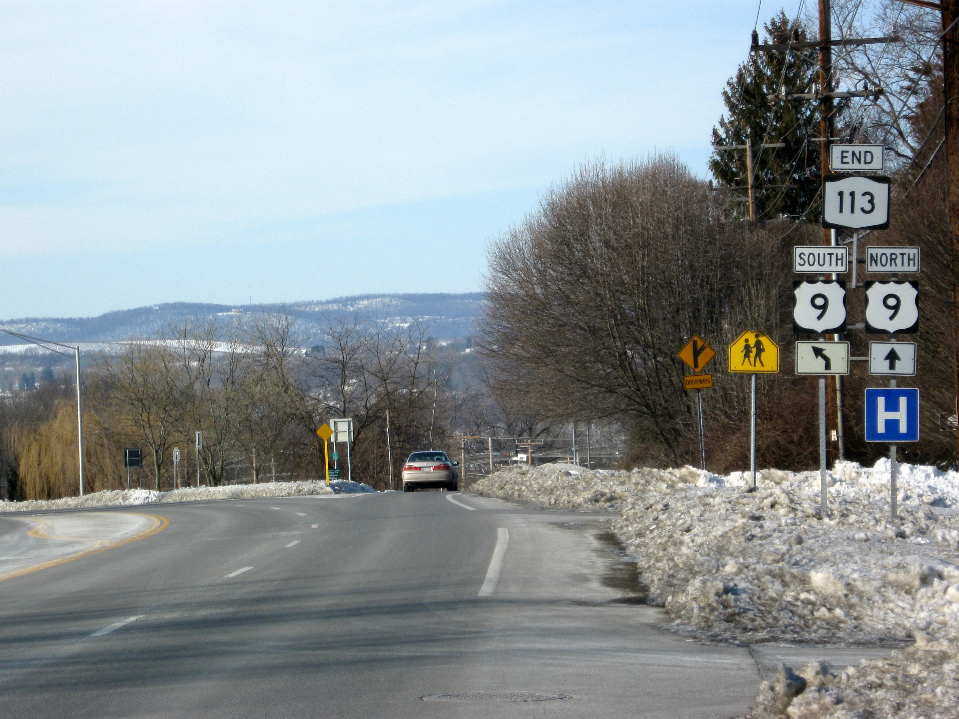
 NY 113's western terminus at US 9 in Poughkeepsie
NY 113 begins at a cloverleaf interchange with U.S. Route 9 in the Dutchess County town of Poughkeepsie. West of the interchange, NY 113 continues as a local road into the IBM Poughkeepsie main plant. NY 113 heads northeast along IBM Road and over US 9 to a junction with Spackenkill Road. The portion of Spackenkill Road west of NY 113 serves as an alternate route to US 9 north from NY 113 west. NY 113 merges with Spackenkill Road, taking on its name as it heads eastward.
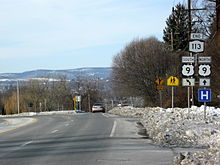
 The eastern terminus of NY 113 at NY Route 376
Just before an intersection with Cedar Avenue (County Route 74), NY 113 passes by Spackenkill High School. The highway continues east through a residential portion of Poughkeepsie to the hamlet of Red Oaks Mill, where NY 113 ends at a junction with NY 376 (New Hackensack Road) and Vassar Road (County Route 77).
History
Spackenkill Road initially followed what is now IBM Road through the interchange with U.S. Route 9 and into the IBM plant, where it ended at the County Route 48 portion of IBM Road.[citation needed] The portion of Spackenkill Road from US 9 to NY 376 was initially maintained by Dutchess County as a county road. On April 1, 1980, ownership and maintenance of this segment of Spackenkill Road was transferred from Dutchess County to the state of New York as part of a larger highway maintenance swap between the two levels of government.[1] The highway was then designated NY 113.[3]
At some point, Spackenkill Road was realigned to follow its pre-interchange routing to US 9, which had been known as Old Spackenkill Road.[citation needed] The IBM Road name, which originally applied only to CR 48, was then extended north along the former Spackenkill Road.[citation needed]
Major intersections
The entire route is in Poughkeepsie, Dutchess County.
Mile[2] Destinations Notes 0.00 US 91.46  CR 74
CR 74Southern terminus of CR 74 3.18  NY 376 / CR 77
Hamlet of Red Oaks Mill; northern terminus of CR 77 1.000 mi = 1.609 km; 1.000 km = 0.621 mi References
- ^ a b New York State Legislature. "Highway Law, Article 12, Section 341". http://public.leginfo.state.ny.us/menugetf.cgi?COMMONQUERY=LAWS. Retrieved May 29, 2009.
- ^ a b "2008 Traffic Volume Report for New York State" (PDF). New York State Department of Transportation. June 16, 2009. pp. 163–164. https://www.nysdot.gov/divisions/engineering/technical-services/hds-respository/NYSDOT%20TVR%202008%20by%20Route.pdf. Retrieved February 1, 2010.
- ^ New York State Department of Transportation (1989). Poughkeepsie Digital Raster Quadrangle (Map). 1:24,000. http://www.nysgis.state.ny.us/gisdata/quads/drg24/dotpreview/index.cfm?code=aa47. Retrieved May 29, 2009.
External links
Categories:- State highways in New York
- Transportation in Dutchess County, New York


Wikimedia Foundation. 2010.