HMS Lossie (K303) — was a River class frigate that served in the Royal Navy from 1943 1946.Construction Lossie was ordered by the United States Navy as PG 103 and was built to the RN s specifications as a Group II River class frigate. She was laid down at Canadian… … Wikipedia
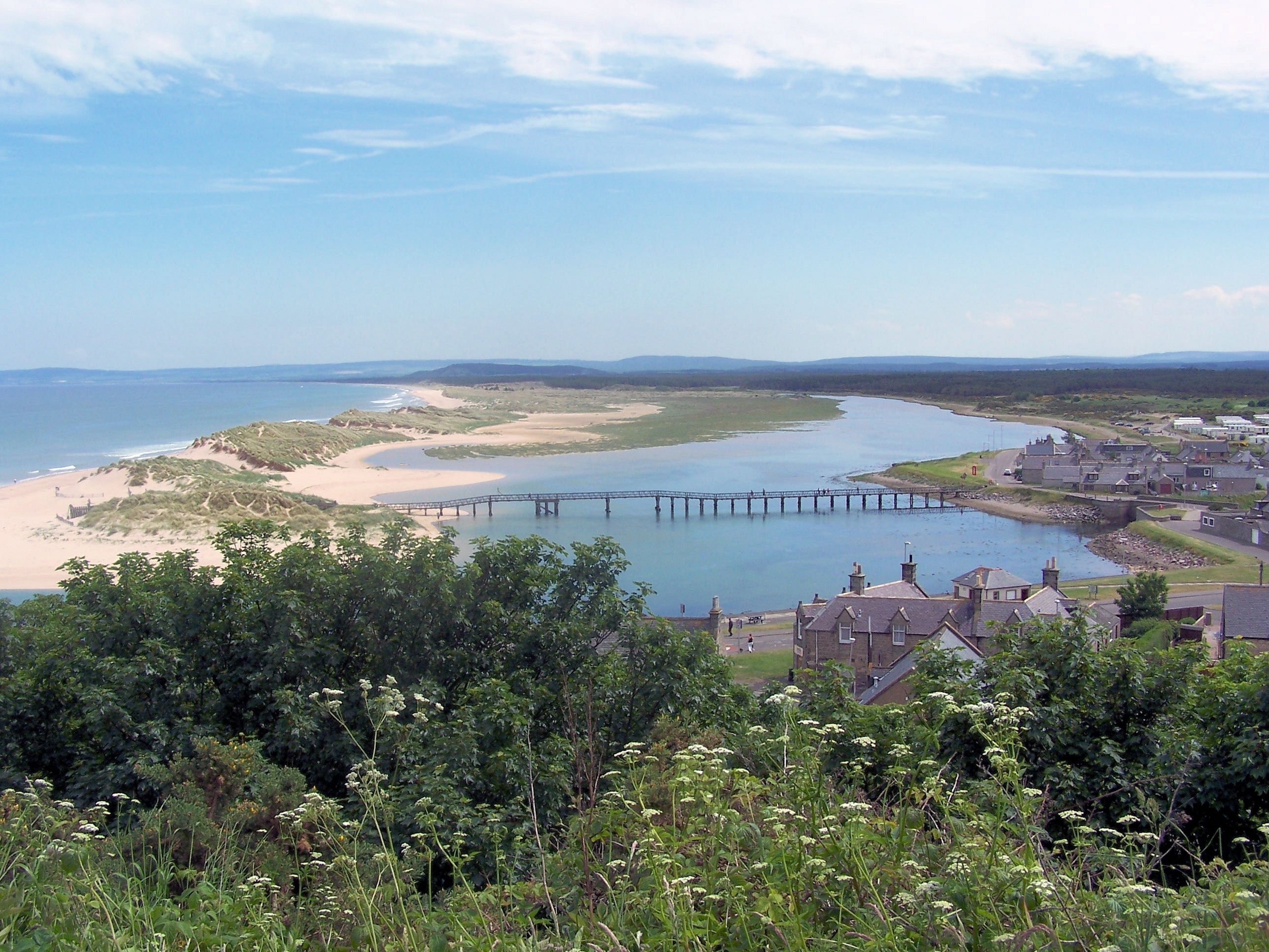
Lossiemouth — Infobox UK place official name= Lossiemouth gaelic name= Inbhir Losaidh scots name= Lossie local name= country= Scotland map type= Scotland population= 6803 population density= os grid reference= NJ235705 edinburgh distance= london distance=… … Wikipedia
Morayshire Railway — [v · d · … Wikipedia
Elgin — ELGIN, a burgh, market town, and parish, in the county of Elgin, of which it is the capital, 63½ miles (N. W.) from Aberdeen, and 174 (N.) from Edinburgh; containing 5216 inhabitants, of whom 4325 are in the town. This place appears to have… … A Topographical dictionary of Scotland
Spynie, New — SPYNIE, NEW, a parish, in the county of Elgin, 2½ miles (W. by N.) from Elgin; containing, with the village of Bishopmill, 1164 inhabitants, of whom 409 are in the rural districts. This place derived its name from Loch Spynie, originally an… … A Topographical dictionary of Scotland
Elgin, Moray — infobox UK place country = Scotland official name= Elgin gaelic name= Eilginn scots name= os grid reference= NJ220626 map type= Scotland latitude=57.64726 longitude= 3.306103 population= 25678 (Census 2001) unitary scotland= Moray lieutenancy… … Wikipedia
Urquhart — URQUHART, a parish, in the county of Elgin, 4½ miles (E. by S.) from Elgin; containing 1082 inhabitants, of whom 185 are in the village. This place derives its name, signifying in the Gaelic language an extensive line of sea coast, from its… … A Topographical dictionary of Scotland
Glen Moray — Zufahrt zur Destillerie Land Schottland Region Speyside … Deutsch Wikipedia
Andrew's Lhanbryde, St. — ANDREW S LHANBRYDE, ST., a parish, in the county of Elgin, 3 miles (E.) from Elgin; containing 1176 inhabitants, of whom 174 are in the village of Lhanbryde. To this parish, which was anciently called the barony of Kill ma Lemnock, Lhanbryde,… … A Topographical dictionary of Scotland
List of rivers of Scotland — List of rivers in Scotland is a list of rivers in Scotland, organised geographically, taken anti clockwise, from Berwick upon Tweed. Tributaries are listed down the page in an upstream direction.For simplicity, they are divided here by the nation … Wikipedia