- Melnik Peak
-
 Location of Livingston Island in the South Shetland Islands.
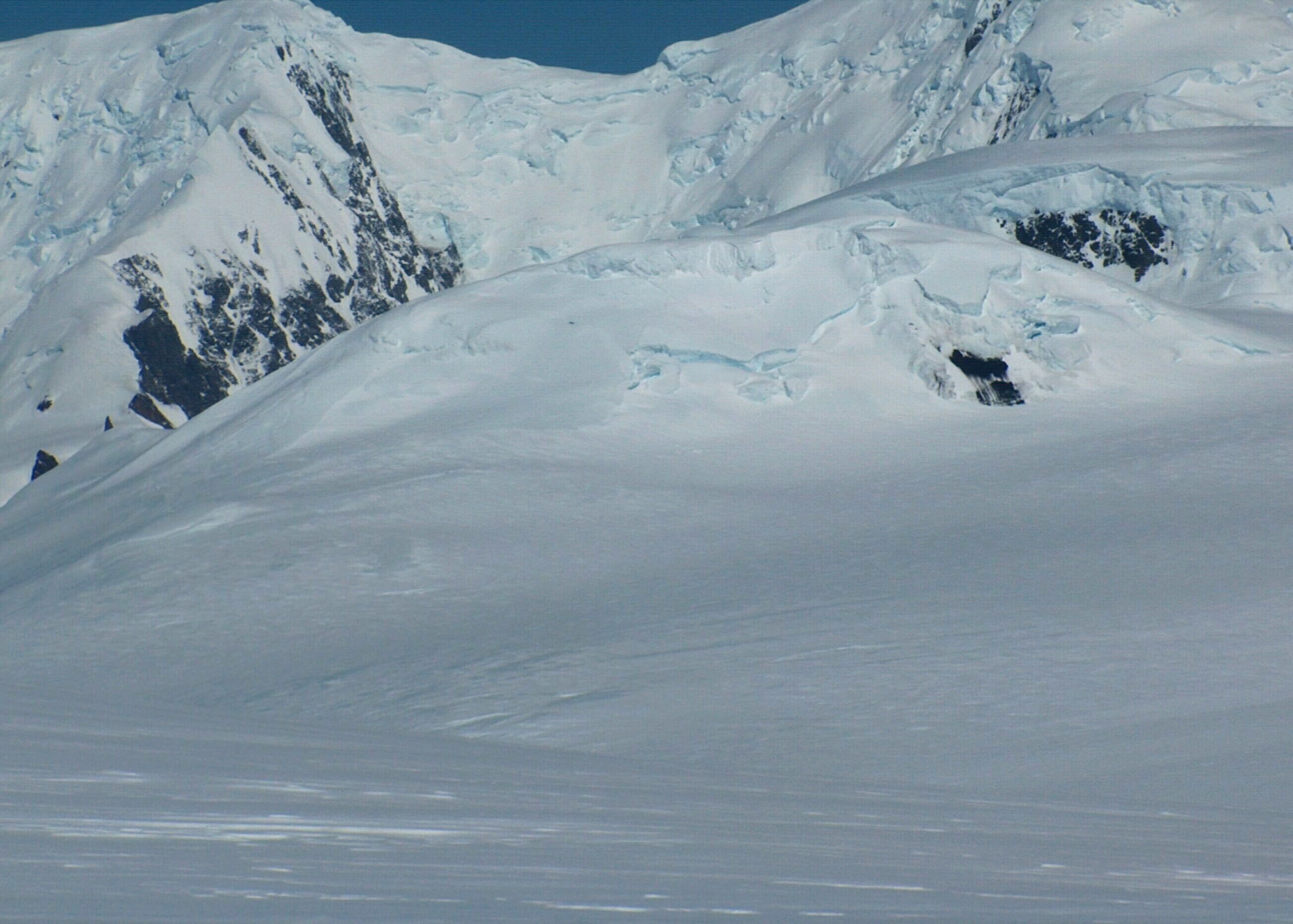
 Melnik Peak from Miziya Peak.
Melnik Peak (Vrah Melnik \'vr&h 'mel-nik\) is the 696 m summit of Melnik Ridge in eastern Livingston Island, South Shetland Islands in Antarctica. Surmounting Kaliakra Glacier to the north and west, and Struma Glacier to the southeast. The peak takes its name from Melnik Ridge.
First ascent by Lyubomir Ivanov and Doychin Vasilev from Camp Academia on 28 December 2004.
Location
The peak is located at 62°36′06.4″S 60°09′11.2″W / 62.601778°S 60.153111°W which is 4.04 km southwest of Sindel Point, 2.41 km northwest of Atanasoff Nunatak, 1.26 km north of Asparuh Peak, 3.03 km northeast by east of Mount Bowles, 3.5 km east by north of Hemus Peak, 4.05 km southeast by south of Castra Martis Hill, and 7.4 km south of Miziya Peak (Bulgarian topographic survey Tangra 2004/05, and mapping in 2005 and 2009).
Maps
- L.L. Ivanov et al. Antarctica: Livingston Island and Greenwich Island, South Shetland Islands. Scale 1:100000 topographic map. Sofia: Antarctic Place-names Commission of Bulgaria, 2005.
- L.L. Ivanov. Antarctica: Livingston Island and Greenwich, Robert, Snow and Smith Islands. Scale 1:120000 topographic map. Troyan: Manfred Wörner Foundation, 2009.
References
- Composite Antarctic Gazetteer.
- L.L. Ivanov, Livingston Island: Tangra Mountains, Komini Peak, west slope new rock route; Lyaskovets Peak, first ascent; Zograf Peak, first ascent; Vidin Heights, Melnik Peak, Melnik Ridge, first ascent, The American Alpine Journal, 2005, 312-315.
This article includes information from the Antarctic Place-names Commission of Bulgaria which is used with permission.
Categories:- Mountains of Livingston Island

Wikimedia Foundation. 2010.