- River Devon, Clackmannanshire
-
Coordinates: 56°13′44″N 3°40′01″W / 56.229°N 3.667°W
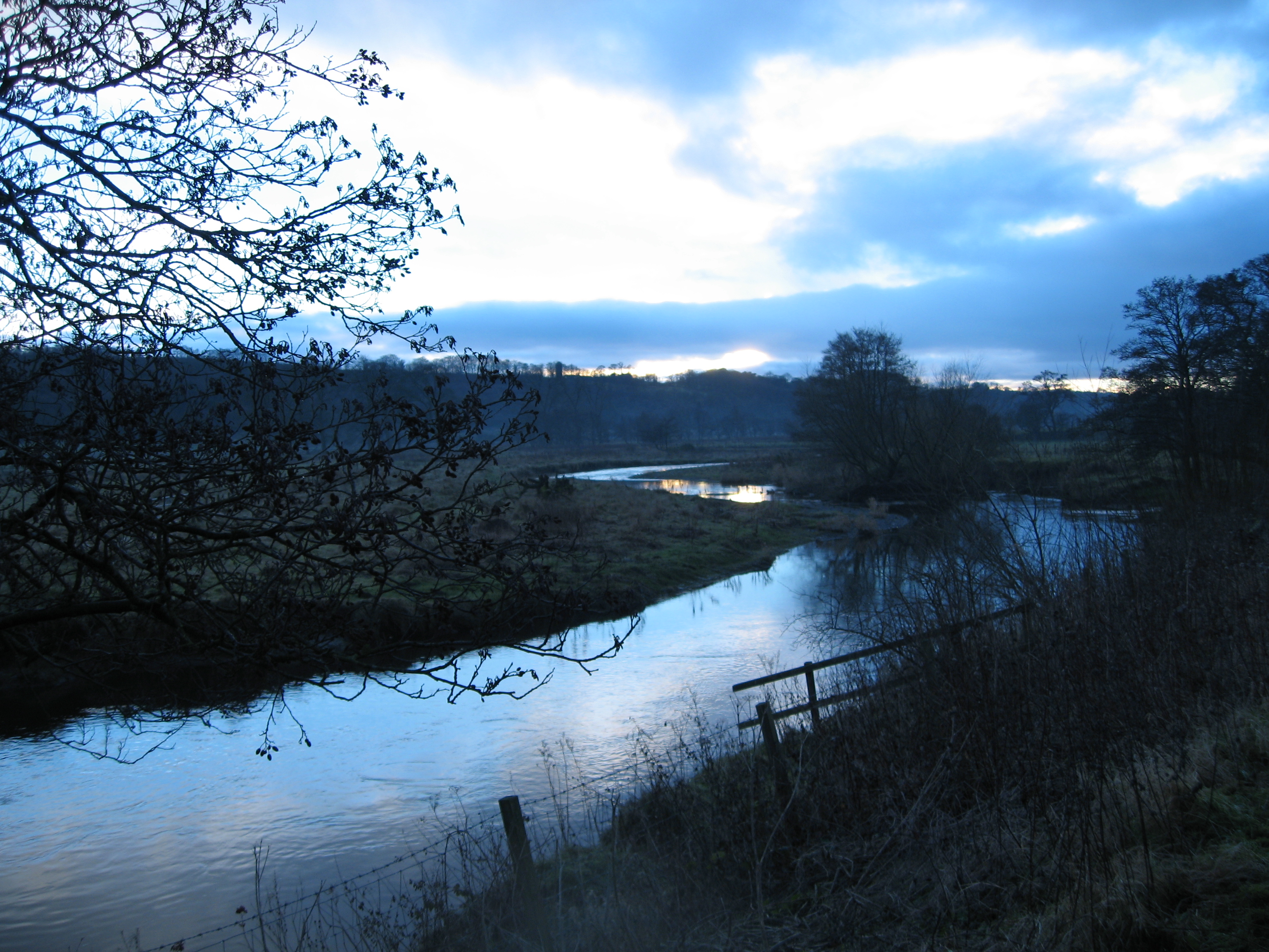
 The Devon at dusk, near Tillicoultry
The River Devon (Scottish Gaelic: An Abhainn Dubh) is a tributary of the River Forth in Clackmannanshire, Scotland.
Contents
Geography
The source of the river is Blairdenon Hill in the Ochils at an altitude of 1,800 feet (550 m). Upper areas have been dammed, creating Upper Glendevon, Lower Glendevon and Castlehill reservoirs. The Devon then flows east and southeast through Glendevon, turning southwest at Crook of Devon and then continuing westwards, meandering across its flood plain along the foot of the Ochil Hills. It reaches the River Forth to the west of Alloa at the small village of Cambus.
History and culture
During the Scottish Reformation, William Kirkcaldy destroyed the bridge at Tullibody in attempt to prevent French troops retreating to the Siege of Leith at the end of January 1560. However, the French took down the roof of Tullibody Kirk to bridge the Devon.[1]
The Devon was surveyed by James Watt in 1766, who claimed that by deepening the river bed it might be navigable as far as Dollar. The estimated cost of such a project was £2000.
Two songs The Banks of the Devon and Fairest Maid on Devon Bank were written in 1787 by Robert Burns, which recall Charlotte Hamilton of Mauchline whom he had met at nearby Harviestoun estate.
Flooding
Clackmannanshire Council has recognised the threat of flooding along the Devon and has worked to address the issue on its own account and in partnership with others, including WWF-Scotland. Works undertaken on the Devon catchment include willow walling, riverside woodland and the blocking of wetland drains.[2]
 Flooded House in Tillicoultry, 26 January 2008
In January 2008 the Devon catchment area was ‘Very Wet’. Land became saturated and rainfall resulted in run-off into rivers, reaching the river system very quickly. River flows in the region were ‘Exceptionally High’. Upstream, all the Ochil reservoirs were full with Castlehill reservoir overflowing for all of that month. The flood at the upstream gauge at Castlehill was the second highest recorded. Further downstream, the water level recorded at Glenochil was the highest since records began in 1956.
 River Devon in flood near Menstrie, 20 November 2009
Over the period of 25 - 26 January 2008, residential and commercial properties in part of Tillicoultry were inundated.[3] The extent of flooding was greater than had been experienced in the past and the Council appointed specialist hydrological consultants to investigate the contributory factors and advise on measures available to minimise or eliminate any future occurrence. [4]
In November 2008 and again in November 2009 extensive flooding occurred in the Hillfoots making several road bridges across the river impassable. No houses were damaged on those two occasions.
References
- ^ Knox, John, History of the Reformation, Book 3, e.g., Lennox, Cuthbert, ed., (1905), 191.
- ^ Comment by Councillor Eddie Carrick on the Ochils Landscape Partnership and Sustainability: http://www.clacksweb.org.uk/document/2321.pdf
- ^ BBC News report of flooding in Tillicoultry http://news.bbc.co.uk/1/hi/scotland/7242586.stm
- ^ Clackmannanshire Council, Report to Council of 5th June 2008: Flooding in Tillicoultry: http://www.clacksweb.org.uk/document/meeting/1/258/2533.doc
External links
Categories:- Rivers of Scotland
- Clackmannanshire


Wikimedia Foundation. 2010.