- Cape Liptrap Lighthouse
Infobox_lighthouse
name=Cape Liptrap
location=Australia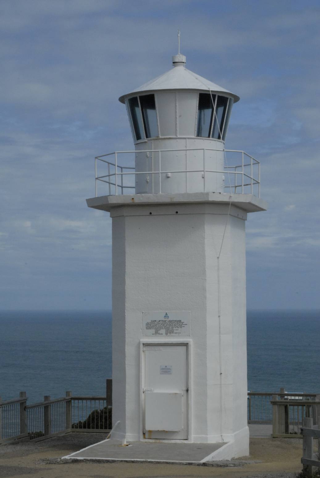
caption=
coordinates = coord|38|54|5|S|145|55|4|E|type:landmark
yearlit=1951
yeardeactivated=
automated=
intensity=40,000 cd
elevation=93.6 m
range=18 nmi
foundation=
construction=Concrete
shape=Square (from afar)
marking=White
height=9.75 m
lens=
characteristic=Fl. 12 s
admiralty=K4282
NGA=7320Cape Liptrap Lighthouse stands upon the rocky cliff top of
Cape Liptrap peninsula, on a solitary part of the SouthGippsland coastline. The lighthouse warns ships of the rocks in treacherousBass Strait .History
The first
Cape Liptrap lighthouse was established in 1913. It was a 2.1 metre steel tower with anacetylene light. As a lighthouse keeper was never stationed at Cape Liptrap, it is really the first automatic Commonwealth funded light to be put into service.The current lighthouse was built in 1951 in cast concrete and is devised in a square shape with flattened edges. The
light characteristic is one flash every 12 seconds, emitted from a height of 93.6 m above sea level. The lighthouse was converted to electrical power in 1970.External links
* [http://www.parkweb.vic.gov.au Parks Victoria] - Parks Victoria is the custodian of a diverse estate of significant parks in Victoria
* [http://www.lighthouse.net.au Lighthouses of Australia] - Lighthouses of Australia Inc.
* [http://www.unc.edu/~rowlett/lighthouse/vic.htm The Lighthouse Directory] by Russ Rowlett
Wikimedia Foundation. 2010.