- New York State Route 403
-
NYS Route 403
Cat Rock Road Route information Maintained by NYSDOT Length: 2.27 mi[3] (3.65 km) Existed: mid-1930s[1][2] – present Major junctions South end:  US 9 in Philipstown
North end:  NY 9D in Philipstown
Location Counties: Putnam Highway system Numbered highways in New York
Interstate • U.S. • N.Y. (former) • Reference • County←  NY 402
NY 404  →
→New York State Route 403 (NY 403) is a short state highway located entirely within Putnam County. It connects NY 9D in Philipstown at its northern/western end to US 9 in Graymoor, where the Appalachian Trail crosses both highways. At that intersection, NY 403 is signed as a route to the Bear Mountain Bridge, although it is a rather circuitous route there.
Half of its length is uphill going south. It is also known as Cat Rock Road.
Contents
Route description
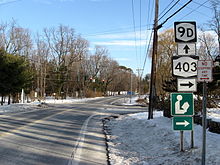 Northern terminus of NY 403 at NY 9D
Route 403 begins at an oblique intersection with US 9 in Graymoor, where the Appalachian Trail crosses both highways. At first it travels to the north, passing an old country estate.
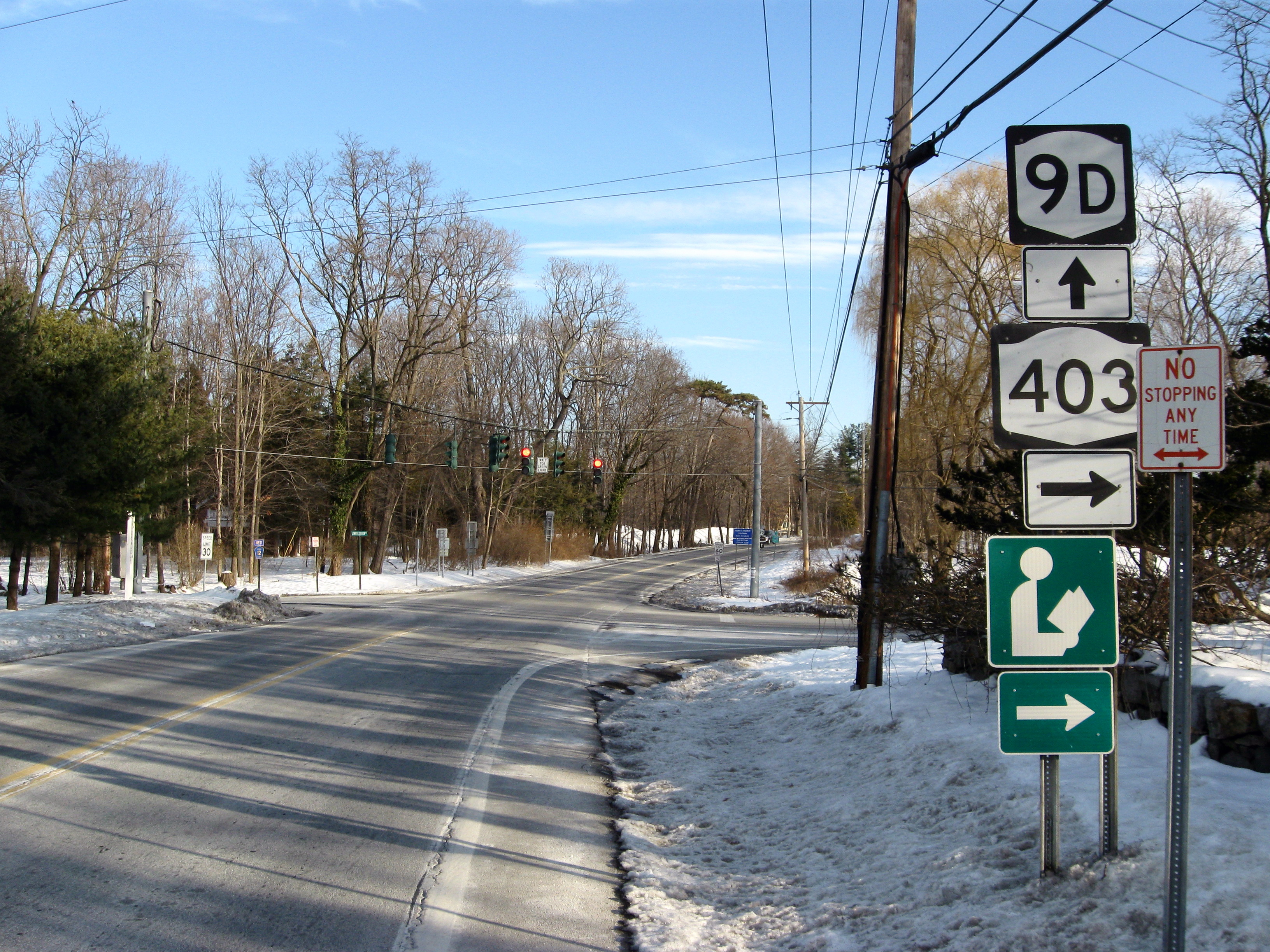
 NY 403 begins here at NY 9D in Philipstown
It then turns west to the pass between Fort Hill and Castle Rock. As it descends again it passes the Walker House, a large Queen Anne given by railroad magnate Samuel Sloan to one of his daughters. At its northern terminus, the intersection with NY 9D known as Garrison Four Corners, marked by another historic house, Ralph Adams Cram's The Birches.[4]
History
The entirety of NY 403 was assigned at some point between 1933 and 1936.[1][2]
Major intersections
The entire route is in Philipstown, Putnam County.
Mile[3] Destinations Notes 0.00 US 92.27 NY 9D1.000 mi = 1.609 km; 1.000 km = 0.621 mi References
- ^ a b Texas Oil Company (1933). Texaco Road Map – New York (Map). Cartography by Rand McNally and Company.
- ^ a b Standard Oil Company (1936). New York (Map). Cartography by General Drafting.
- ^ a b "2008 Traffic Data Report for New York State" (PDF). New York State Department of Transportation. June 16, 2009. p. 308. https://www.nysdot.gov/divisions/engineering/technical-services/hds-respository/NYSDOT_Traffic_Data_Report_2008.pdf. Retrieved January 10, 2010.
- ^ Google, Inc. Google Maps – overview map of NY 403 (Map). Cartography by Google, Inc. http://maps.google.com/maps?rlz=1T4ADBF_enUS232US232&hl=en&q=from%3A%20Unknown%20road%20%4041.350661%2C%20-73.925911%20to%3A%20RT-403%20%4041.375991%2C%20-73.943650&um=1&ie=UTF-8&sa=N&tab=wl. Retrieved April 21, 2008.
External links
Categories:- State highways in New York
- Transportation in Putnam County, New York


Wikimedia Foundation. 2010.