- Ohio State Route 261
-
State Route 261
Route information Maintained by ODOT Length: 25.85 mi[1] (41.60 km) Existed: 1929 – present Major junctions West end:  SR 94 in Wadsworth
 I-76 / US 224 in Wadsworth
 I-77 in Akron
East end:  SR 59 in Franklin Township
Location Counties: Medina, Summit, Portage Highway system Ohio highways
Interstates • U.S. Routes • State Routes←  SR 260
SR 264  →
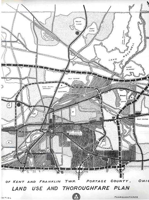
→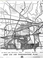 1960s thoroughfare plan for Kent, showing original plans for SR 261 in the southern part of the city.
State Route 261 (SR 261) is an east–west state highway located in northeastern Ohio that passes through Medina, Summit, and Portage Counties. At a length of 26 miles (42 km), State Route 261 runs from a signalized intersection with State Route 94 in Wadsworth to a signalized T-intersection with State Route 59 in Franklin Township just east of Kent.
State Route 261's routing is more complicated than other state highways, frequently changing streets and direction. It runs through downtown Akron as two sets of one-way surface streets. It has a divided highway section from the outskirts of southern Kent to just east of State Route 43. This divided section was originally planned to be limited access and tie in with another highway, State Route 435, but this plan was never implemented.
Contents
History
At one time SR 261 followed SR 43 into downtown Kent.[2][3]
Major intersections
County Location Mile[1] Destinations Notes Medina Wadsworth 0.00 SR 94Western terminus at signalized intersection 2.02 I-76
US 224Exit 11 off of I-76/US 224, a diamond interchange Summit Norton 4.64  SR 21
SR 21Diamond interchange Akron 8.57 I-77Exit 130 off of I-77, a parclo AB-2 interchange, with all ramps on north side 9.97  SR 93 south
Signalized intersection marking northern terminus of SR 93 10.61 SR 59Interchange 12.36  SR 18
SR 18SR 261 as one-way couplet meets SR 18 at pair of signalized intersections 12.51 SR 59SR 261 as one-way couplet meets SR 59 at pair of signalized intersections 14.18  SR 8
SR 8
SR 59Diamond interchange Tallmadge 18.40  SR 91
SR 91Tallmadge Circle Portage Kent 22.81  SR 43
SR 43Signalized intersection Franklin Township 25.85 SR 59Eastern terminus at signalized T-intersection 1.000 mi = 1.609 km; 1.000 km = 0.621 mi References
- ^ a b Ohio Department of Transportation. "Technical Services Straight Line Diagrams". http://www.odotonline.org/techservapps/SLD/default.htm. Retrieved 2010-05-17.
- ^ Wardle, Michelle (2005). Images of America: Kent. Arcadia Publishing. p. 75. ISBN 0738533815.
- ^ United States Geological Survey (1960). Kent Quadrangle - Ohio (Map). 1 : 24,000. 7.5 Minute Series (Topographic).
External links
Categories:- State highways in Ohio
- Kent, Ohio
- Transportation in Medina County, Ohio
- Transportation in Portage County, Ohio
- Transportation in Summit County, Ohio
- Transportation in Akron, Ohio

Wikimedia Foundation. 2010.