- Viqueque (district)
Infobox East Timor District
name = Viqueque
tetum = Vikeke
capital =Viqueque
area = 1,781
arearank = 1st
population = 65,245
population_as_of = 2004
populationrank = 5th
density = 36.6
densityrank = 10th
households = 15,115
households_as_of = 2004
householdsrank = 5th
isocode = TL-VI
subdistricts =Lacluta ,Ossu ,Uatolari ,
Uato Carabau ,Viqueque
map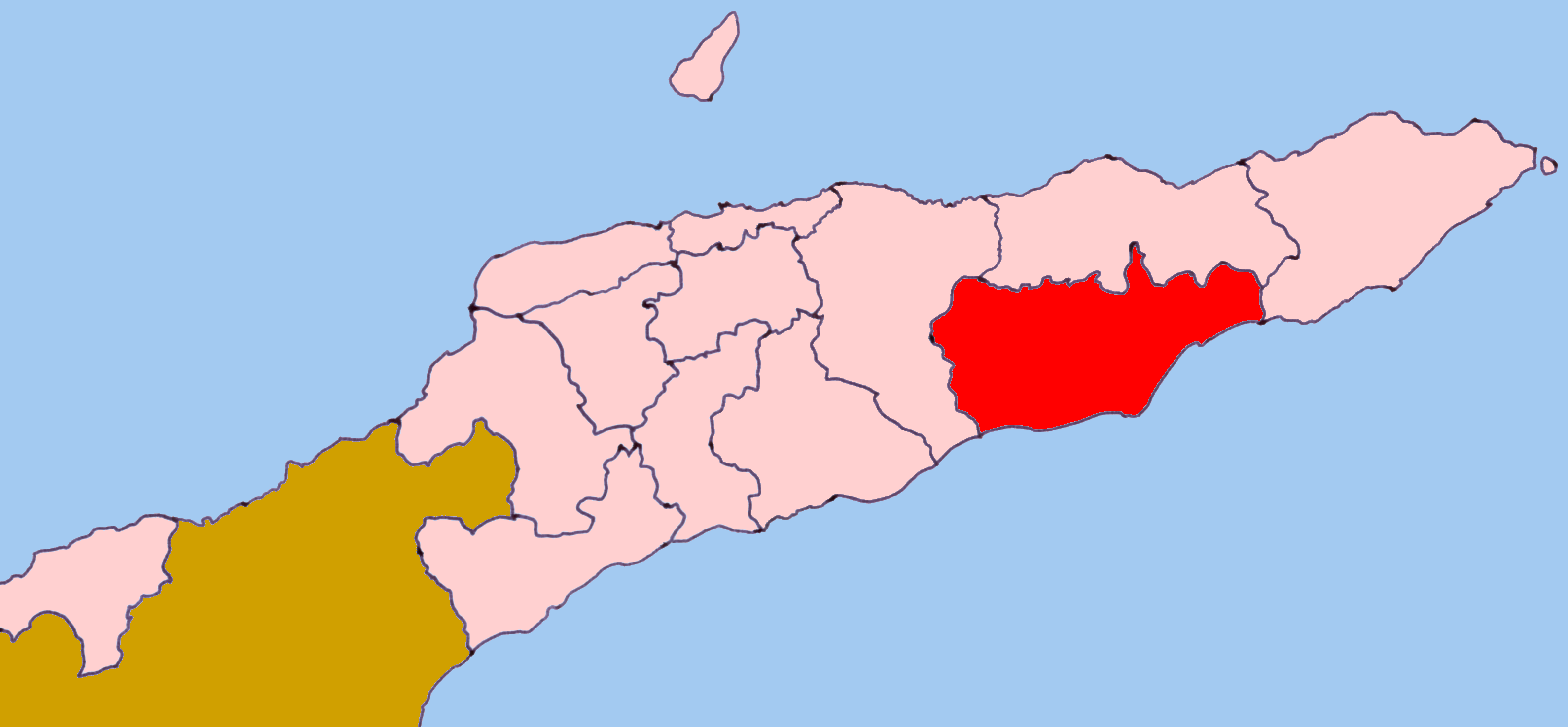
Viqueque (
Tetum : "Vikeke") is the largest of the districts ofEast Timor . It has a population of 66,434 (Census2004 ) and an area of 1,781 km². The capital of the district is also namedViqueque . The subdistricts areLacluta ,Ossu ,Uatolari (which was known inPortuguese Timor as Leça, and, in Tetum, is spelled Watulari),Uato Carabau (spelled Watucarbau, in Tetum) andViqueque . The district was the same in colonial times.Viqueque is on the south coast of
Timor , on theTimor Sea . It borders the districtsBaucau to the north,Lautém to the east, and Manatuto to the west.Viqueque is a homeland of the
Malayo-Polynesian language Tetum . In East Timor it is co-official with Portuguese. In the east part of the district live speakers of thePapuan language Makasae .On the south coast, the people report both myths and possible occurrences of crocodiles.
[pl:Dystrykt Viqueque]
Wikimedia Foundation. 2010.