- Mule Mountains (California)
-
This article is about the mountain range in Riverside County, California. For the mountain range in Imperial County, California, see Little Mule Mountains. For the mountain range in Arizona, see Mule Mountains.
Mule Mountains Mountain Range Country United States State California District Riverside County Coordinates 33°30′32.097″N 114°49′52.865″W / 33.50891583°N 114.83135139°W Highest point - elevation 378 m (1,240 ft) Timezone Pacific (UTC-8) - summer (DST) PDT (UTC-7) Topo map USGS Roosevelt Mine 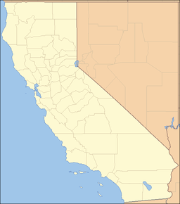
 location of Mule Mountains in California [1]
The Mule Mountains of California are located in the southeastern part of the state in the United States. The range lies in a northeast-southwesterly direction south of the McCoy Mountains and west of the Palo Verde Valley and Colorado River. The mountain range is approximately 18 miles (29 km) long and is located just south of Interstate 10, about 5 mi (8 km) southeast of Chuckawalla Valley State Prison. The northern end of the range is in Riverside County, and the southern end is in Imperial County. Downtown Blythe, California is about 12 mi (19 km) to the northeast.
References
- Allan, Stuart (2005). California Road and Recreation Atlas. Benchmark Maps. pp. 113 & 114. ISBN 0-929591-80-1.
Categories:- Blythe, California
- Mountain ranges of Riverside County, California
- Mountain ranges of Southern California
- Mountain ranges of the Colorado Desert
- Mountain ranges of the Lower Colorado River Valley
- Riverside County, California geography stubs

Wikimedia Foundation. 2010.