- Dolní Bojanovice
-
Dolní Bojanovice — Municipality — 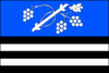
Flag
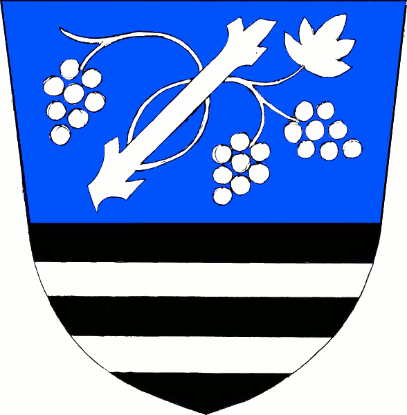
Coat of arms
 Dolní Bojanovice
Coordinates: 48°51′35″N 17°1′40″E / 48.85972°N 17.02778°ECoordinates: 48°51′35″N 17°1′40″E / 48.85972°N 17.02778°E Country  Czech Republic
Region South Moravian District Hodonín Area – Total 19.92 km2 (7.7 sq mi) Elevation 178 m (584 ft) Population (2008) – Total 2,895 – Density 145.3/km2 (376.4/sq mi) Postal code 696 17 Website http://www.dolnibojanovice.cz Dolní Bojanovice (German Unter Bojanowitz) is a village and municipality (obec) in Hodonín District in the South Moravian Region of the Czech Republic.
The municipality covers an area of 19.92 square kilometres (7.69 sq mi), and has a population of 2,895 (as at 1 January 2008).
Dolní Bojanovice lies approximately 8 kilometres (5 mi) west of Hodonín, 49 km (30 mi) south-east of Brno, and 233 km (145 mi) south-east of Prague.
References
Towns and villages of Hodonín District Archlebov · Blatnice pod Svatým Antonínkem · Blatnička · Bukovany · Bzenec · Čejč · Čejkovice · Čeložnice · Dambořice · Dolní Bojanovice · Domanín · Dražůvky · Dubňany · Hodonín · Hovorany · Hroznová Lhota · Hrubá Vrbka · Hýsly · Javorník · Ježov · Josefov · Karlín · Kelčany · Kněždub · Kostelec · Kozojídky · Kuželov · Kyjov · Labuty · Lipov · Louka · Lovčice · Lužice · Malá Vrbka · Mikulčice · Milotice · Moravany · Moravský Písek · Mouchnice · Mutěnice · Násedlovice · Nechvalín · Nenkovice · Nová Lhota · Nový Poddvorov · Ostrovánky · Petrov · Prušánky · Radějov · Ratíškovice · Rohatec · Skalka · Skoronice · Sobůlky · Starý Poddvorov · Stavěšice · Strážnice · Strážovice · Sudoměřice · Suchov · Svatobořice-Mistřín · Syrovín · Šardice · Tasov · Těmice · Terezín · Tvarožná Lhota · Uhřice · Vacenovice · Velká nad Veličkou · Veselí nad Moravou · Věteřov · Vlkoš · Vnorovy · Vracov · Vřesovice · Žádovice · Žarošice · Ždánice · Želetice · Žeravice · Žeraviny
This South Moravian Region location article is a stub. You can help Wikipedia by expanding it.