- Vledder
Dutch town locator maps
mun_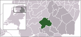
town_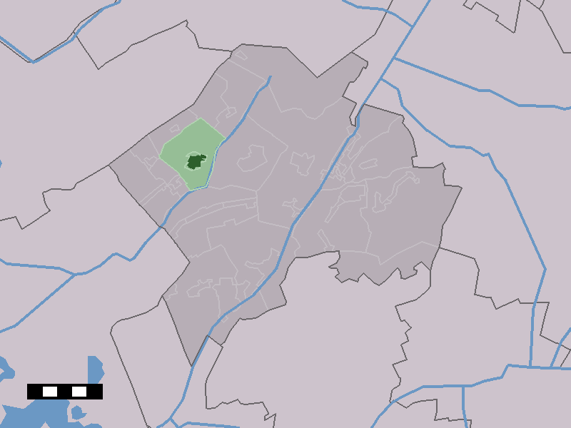
caption = The village centre (dark green) and the statistical district (light green) of Vledder in the municipality of Westerveld.Vledder (coord|52|51|N|6|12|E|type:city(1804)) is a village in the Dutch province of
Drenthe . It is a part of the municipality ofWesterveld , and lies about 24 km northwest ofHoogeveen . It is located along the small riverVledder Aa .Prehistoric settlements have been found in the area. Officially, the village of Vledder was started approximately in the year
500 AD. Situated in a desolate region, the village grew slowly. Around900 AD seven farms were part of the community. In1300 this number had risen to 20, at the end of the sixteenth century the farms numbered 29.Vledder was a separate municipality between 1819 and 1998, when it became a part of Wsterveld. [Ad van der Meer and Onno Boonstra, "Repertorium van Nederlandse gemeenten", KNAW, 2006. [http://www.knaw.nl/cfdata/publicaties/detail.cfm?boeken__ordernr=20061061] ]
In 2001, the village of Vledder had 1804 inhabitants. The built-up area of the village was 0.73 km², and contained 822 residences.Statistics Netherlands (CBS), [http://www.cbs.nl/nl-NL/menu/themas/milieu-natuur-ruimte/ruimte/publicaties/cartografie-geografie/geografische-data/2001-bevolkingskernen-in-nederland.htm "Bevolkingskernen in Nederland 2001"] . (Statistics are for the continuous built-up area).] The statistical area "Vledder", which also can include the surrounding countryside, has a population of around 2000.Statistics Netherlands (CBS), [http://statline.cbs.nl/ "Statline: Kerncijfers wijken en buurten 2003-2005"] . As of
January 1 ,2005 .]References
External links
* [http://www.kuijsten.de/atlas/dr/vledder.html Map of the former municipality in 1868]
Wikimedia Foundation. 2010.