- Monti (rione of Rome)
-
 Logo of the rione
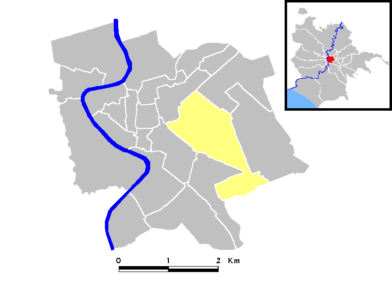
 Map of the rione
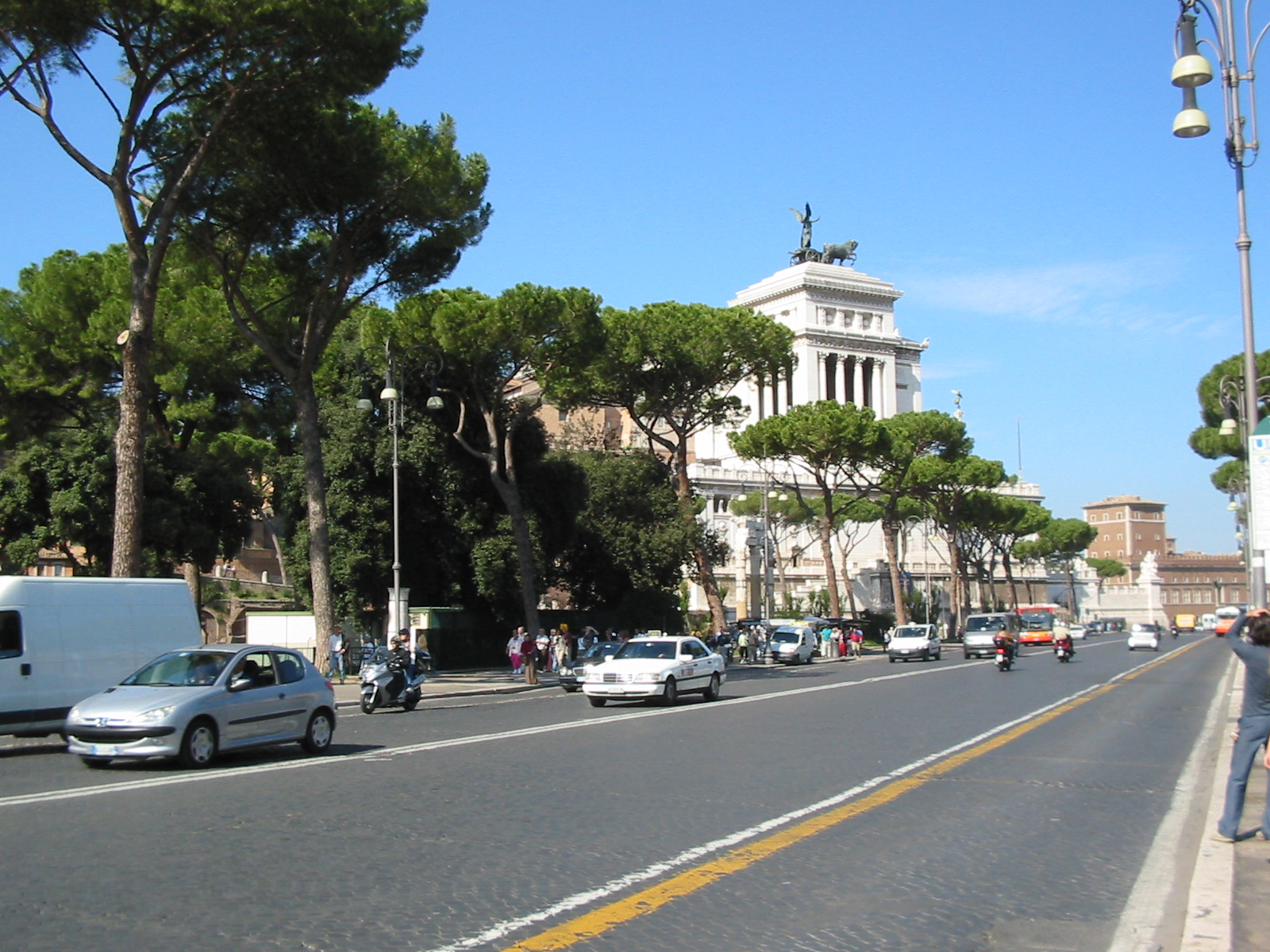
 via dei Fori Imperiali, on the edge of the rione
Monti is the name of one of the twelve Rioni of Rome, rione I. The name literally means mountains in Italian and comes from the fact that the Esquiline and the Viminal Hills, and parts of the Quirinal and the Caelian Hills belonged to this rione. Its logo consists of three green mountains with three tops on a silver background.
Today the Esquilino, Castro Pretorio and Celio districts do not belong to it anymore, but it has kept its former name.
In ancient times the rione was densely populated: in Monti there were the Forum Romanum and the so called Suburra (meaning suburbs in Latin): this was the place poor people lived, full of disreputable locals and brothels.
In the Middle Ages the situation was completely different: the Roman aqueducts were damaged, and it was very difficult to bring water to Monti since it was on the hills. Hence many inhabitants moved to Campus Martius, a lower level part, where they could drink the water from the river Tiber.
From the Middle Ages to the beginning of the 19th century, the rione remained an area full of vineyards and market gardens. Monti was not densely populated because of the lack of water and because it was quite far from the Vatican, the center of Christian culture. The area did not become abandoned thanks to the church of San Giovanni in Laterano and the constant high number of pilgrims.
Still in the Middle Ages the inhabitants of Monti, called monticiani, developed a strong identity: their Roman dialect was different from that spoken in the other rioni. Their main enemies were the people from the other rione with a strong identity, Trastevere, and they often used to fight with one another.
Then, with growing urbanization at the end of the 19th century after Rome had become the capital of a united Italy, the great changes of the Fascist period completely changed the appearance of the rione. In particular, between 1924 and 1936, a large part of the rione, consisting of small streets and popular houses, was destroyed to make way for the Via dei Fori Imperiali (the street artificially dividing the Roman Forum and most of the Imperial forums) and the archaeological buildings of the Forum Romanum were excavated.
Thanks to its position, Monti is full of archaeological sites such as:
- Colosseum
- Ludus Magnus (the gym for gladiators)
- Nero's Domus Aurea
- the baths of Trajan
- the baths of Titus
- part of the Forum Romanum
- markets of Trajan
Churches
- Sant'Agata dei Goti
- Sant'Andrea al Quirinale
- San Carlo alle Quattro Fontane
- San Clemente
- Santa Maria dei Monti
- Santa Maria Maggiore
- San Martino ai Monti
- Santa Prassede
- San Pietro in Vincoli
- Santa Pudenziana
- Santi Quirico e Giulietta
- Santo Stefano Rotondo
- San Vitale
- San Giovanni in Laterano
- Santi Marcellino e Pietro
- Santa Lucia in Selci
External links
I - Monti · II - Trevi · III - Colonna · IV - Campo Marzio · V - Ponte · VI - Parione · VII - Regola · VIII - Sant'Eustachio · IX - Pigna · X - Campitelli · XI - Sant'Angelo · XII - Ripa · XIII - Trastevere · XIV - Borgo · XV - Esquilino · XVI - Ludovisi · XVII - Sallustiano · XVIII - Castro Pretorio · XIX - Celio · XX - Testaccio · XXI - San Saba · XXII - Prati
Coordinates: 41°54′06″N 12°28′35″E / 41.901606°N 12.476521°ECategories:
Wikimedia Foundation. 2010.